Elevation: 7,690 ft
Prominence: 1,710
Climbing and access information for this peak is on Page 85 of the book.
This peak is the highest point in Shoshone County. See Dan Robbins’ trip report which covers this peak and several other Northern Idaho county high points. USGS Illinois Peak
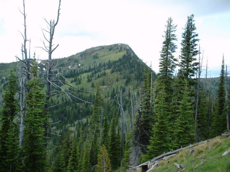
Illinois Peak is on the Idaho/Montana border. Dan Robbins Photo.
It is 5.0 miles from Freezeout Pass to the top of the peak with 1,500 feet of elevation gain.
Ken Jones provided the following directions: Leave I-90 at Superior, MT (Exit 47). On the southwest side of the freeway, take the frontage road headed ESE. In about 1-1/4 to 1-1/2 miles, an obvious road heads south up Cedar Creek Canyon. This is FSR-320. Take it. The pavement turns to gravel, but the road is good. Passenger cars should have no trouble making it all the way to the trailhead. Keep left at a major fork with FSR-7865 and follow FSR-320 to a fork with FSR-388 on the left. There is a bridge here. Go left onto FSR-388 and follow it past a number of mines until it crests at Freezeout Pass. Park here.
At Freezeout Pass, you will find 2 roads on your right/west. One is moderately drive-able and heads onto a north-facing slope. The other goes directly up the ridge and is labeled as the Illinois Peak Trail. While it might be driven for a distance, we chose to walk it. Hike the old road through the woods. After a while, it emerges onto a south-facing slope and the well-traveled tread bears up and right, becoming a trail. The old road continues down but is overgrown. Follow the trail to the summit of Illinois Peak, where you will find a register.
Additional Resources
Regions: Bitterroot Mountains->NORTHERN IDAHO
Mountain Range: Bitterroot Mountains
Pingback: Idaho County High Points by Andy Martin - IDAHO: A Climbing Guide