Elevation: 3,643 ft
Prominence: 383
This peak is not in the book. Published February 2021
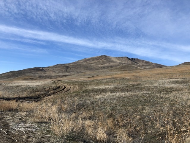
Indian Head Mountain is a prominent peak located west of Weiser, Idaho. It rises directly above the Snake River at the end of Dead Indian Ridge. The peak has easy access and, thanks to its low elevation, is potentially a year-round destination. It also has nice views of surrounding mlunatic ranges and incredible views of the Snake River. This hike is quite steep and is a great training hike. USGS Olds Ferry
Dead Indian Mountain. Jason Floyd Photo
Access
Southeast Ridge, Class 2
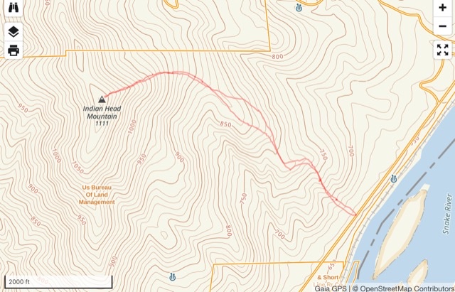
Jason’s GPS track
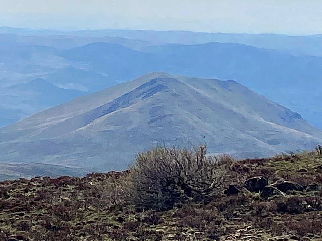
Indian Head Mountain as viewed from the summit of Dead Indian Ridge.
Additional Resources
Regions: Cuddy and Hitt Mountains->WESTERN IDAHO
Mountain Range: Cuddy and Hitt Mountains
Year Climbed: 2021
Longitude: -117.15069 Latitude: 44.27549