Elevation: 7,420 ft
Prominence: 29
This ridge is not in the book. Published November 2023
Jackass Ridge is a forested hill that sits above Racetrack Meadow in the Eastern Salmon River Mountains. It is most easily climbed from FSR-035 which crosses the ridge. Unlike some of the surrounding area, Jackass Ridge is covered by beautiful pine trees and has no burn areas. USGS Napoleon Hill
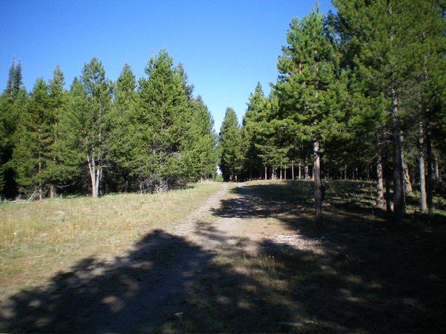
Jackass Ridge as viewed from FSR-035 that crosses its summit area. Livingston Douglas Photo
Access
From the Sinclair Gas Station at the north end of Salmon on US-93, drive 3.1 miles north on US-93 to a signed junction with Diamond Creek Road at the Lemhi County Fairgrounds. Turn left/west onto Diamond Creek Road and reset your odometer. At 0.5 miles, the road bends hard right/north. At 0.8 miles, reach a “Y” junction. Go left onto [signed] FSR-023. At 11.6 miles, reach a 4-way signed junction on a saddle.
Continue west on FSR-023 for 1.2 miles to an unsigned junction with FSR-052. Turn diagonally left/southwest onto FSR-052 and drive 1.5 miles on this narrow 2-track road to reach a 4-way junction. Park here (7,391 feet; 45⁰17’23”N, 114⁰01’23”W).This is the first leg of a 2-peak adventure that includes Jackass Ridge and Peak 7812. It covers 6.0 miles with 1,350 feet of elevation gain round trip.
East Face, Class 1
The Climb
From the road junction, hike (or drive) about 0.1 miles west-northwest up [signed] FSR-035. Bushwhack south a short distance to the high point. The high point is ill-defined, so wander around in the forest a bit to satisfy yourself that you have stood on the high point of Jackass Ridge. There is no summit cairn on top.
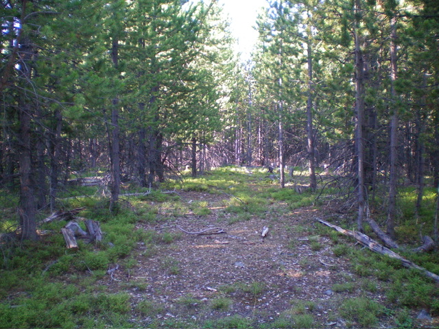
The forested summit of Jackass Ridge. Livingston Douglas Photo
West Ridge, Class 1
The Descent (then Climb)
From the summit, return to FSR-035. Continue west on the ridge road (which becomes FSR-747 then FSR-722). It heads west then turns left/south to descend to the west end of Racetrack Meadow. The roads to this point can probably be driven. There is a long split-rail fence at the west end of the lengthy meadow. FSR-722 is now a weak, overgrown 2-track road that heads southwest away from the fence row. It drops to cross the East Fork of Daly Creek (a small stream). This is the low point in the traverse from Jackass Ridge to Peak 7812. It concludes the first leg of today’s 2-peak adventure. Peak 7812 is up next.
Additional Resources
Mountain Range: Eastern Salmon River Mountains
Longitude: -114.0250 Latitude: 45.2897