Elevation: 8,716 ft
Prominence: 1,656
Climbing and access information for this peak is on Page 332 of the book. Published December 2020
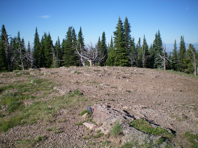
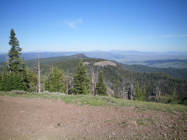
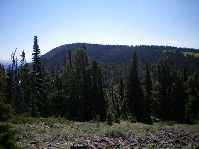
Lookout Point is located in the Western Centennials. It sits at the head of East Steel Creek and Allan Canyon. It is an open summit with magnificent views. Lookout Point is most easily reached via an ATV trail/road from Lone Pine Pass to the west (as per Page 332 of the book) but it can also be reached via ATV trails to the east. USGS Lookout Point
Access
Same as for Peak 8382. This is the second leg of a 3-peak journey that includes Peak 8382, Lookout Point, and Peak 8346.
Southwest Ridge, Class 1
The Climb
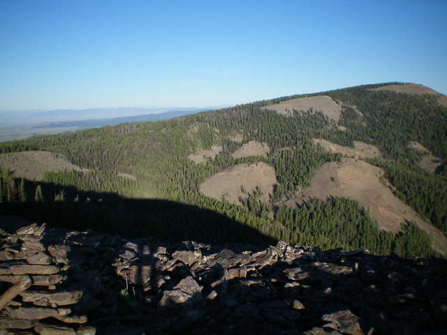
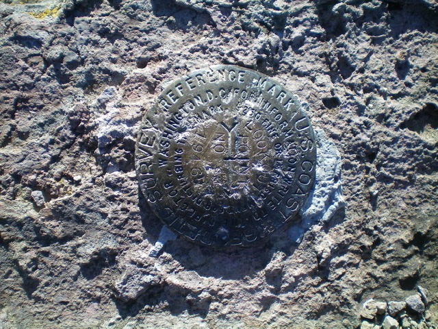
From the 7,980-foot connecting saddle with Peak 8382, follow FST-005 (an ATV trail/road) west to a junction with FST-180 (an ATV trail/road). Go right/north onto FST-180 and follow it to a signed junction with FST-005A (an ATV trail/road). Go right/northeast onto FST-005A and follow it to the summit. The summit of Lookout Point has a weathered USGS benchmark in a nearby ground boulder. The summit has no summit cairn but offers expansive views in all directions.
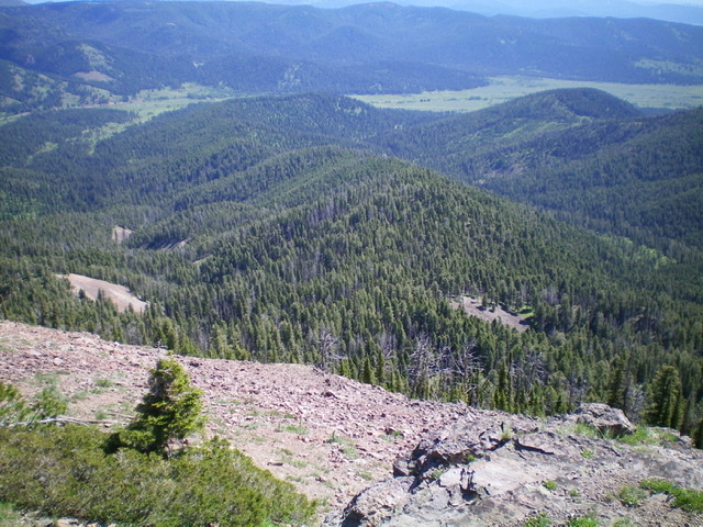
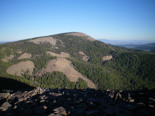
The forested northeast ridge of Lookout Point (dead center) as viewed from the summit. This was my descent route back to Allan Canyon Road. Livingston Douglas Photo
West Ridge, Class 2
The Descent
From the summit, bushwhack west down an ill-defined ridge that is thickly forested with copious blowdown to reach a long saddle. Hike along FST-005 (an ATV trail/road) westward as it follows the ridge crest to another, slightly-lower saddle in an open meadow at the base of Point 8521. This saddle is at 8,300 feet. Leave the ATV road and bushwhack west up through a moderate pine forest to reach a thicker pine forest higher up. Exit the thicker forest to find the semi-open, forested top of Point 8521. Descend west-northwest then west on a forested ridge with lots of blowdown and veg to reach a wide saddle area with an open meadow of grass/veg on the right/north side of the saddle. This is the low point between Lookout Point and Peak 8346. Its elevation is 8,060 feet. This is the conclusion of the second leg of today’s 3-peak journey. Peak 8346 is up next.
Northeast Ridge, Class 3
The Descent
After re-climbing Lookout Point via its west ridge, descend north-northeast on steep, loose scree for about 250 vertical feet (Class 3). Drop east-northeast into a wickedly-steep pine forest with loose scree underneath and copious blowdown to reach a very clogged, flattish ridge area with a small grassy meadow at the top of a gully that is heading northward. Do not descend that gully as it goes to Steel Creek. Instead, continue northeast to soon find the northeast ridge. Follow this mess of thick forest, blowdown, and veg down to 7,400 feet with two ridge humps to climb over on the way. There are some areas of this section that aren’t too bad but the blowdown is in the large category and is somewhat tedious to navigate.
From the 7,400-foot level, leave the ridge and descend right/southeast in mostly open (or semi-open) meadows to reach the west side of Allan Canyon Creek. Follow a faint 2-track (now just a grassy clearing) on the west side of the creek down to a sharp turn in Allan Canyon Road/FSR-015 where the road crosses the creek and reaches the gated closure. Walk a short distance right/east to your parked vehicle.
Additional Resources
Regions: Centennial Range->EASTERN IDAHO
Mountain Range: Centennial Range
First Ascent Information:
- Other First Ascent: Northeast Ridge —Descent
- Year: 2020
- Season: Summer
- Party: Livingston Douglas
Longitude: -112.04729 Latitude: 44.43719
