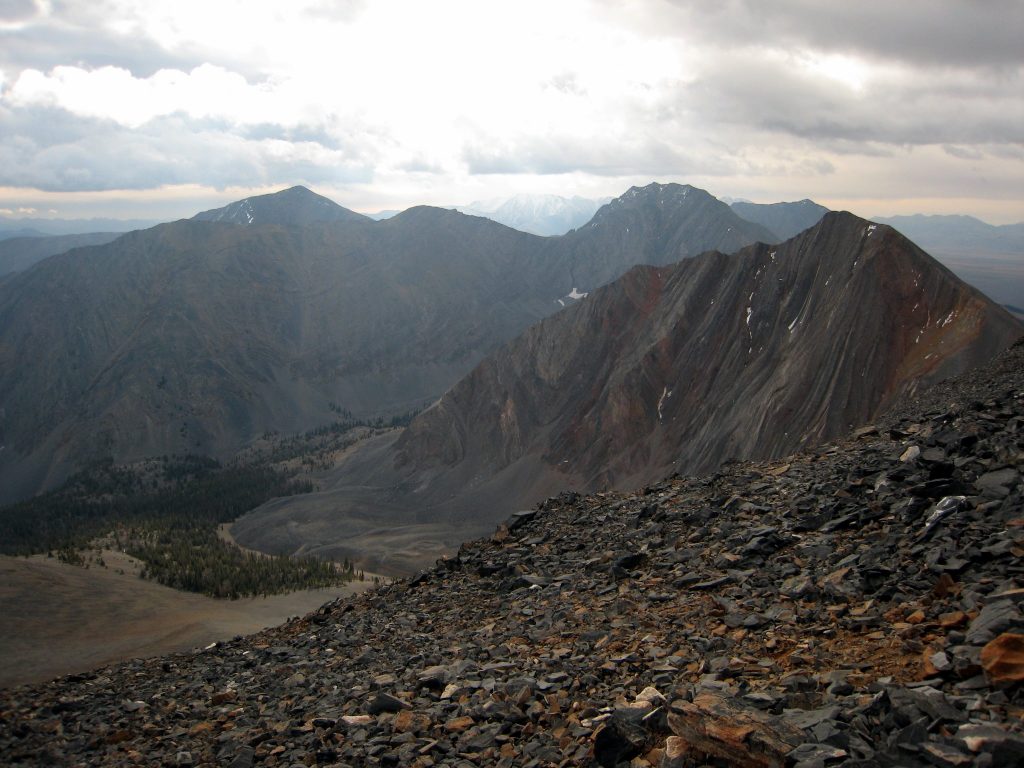
The Lost River Range is covered in the book on Pages 265-295. All of the Lost River Range peaks covered by this website can be found at this link: Lost River Range Updates.
The Lost River Range stretches 70 miles from northwest to southeast between Challis, ID and Arco, ID. The Big Lost River Valley and Salmon River flank the range on the west. The Little Lost River and Pahsimeroi River are along its east side. The range contains not only the highest point in Idaho (12,662-foot Borah Peak), but also seven of the state’s nine 12ers, the 12,000-foot peaks. Eighty of the range’s peaks rise above 10,000 feet with twenty-eight 10ers, forty-five 11ers, and seven 12ers. Beyond the higher summits, the range has many other peaks worthy of consideration.
There have been relatively few accidents resulting in death in Idaho mountaineering in general. However, four climbers have died while in pursuit of the 12ers, all in the Lost River Range. Please take the time to review the reports we have of these unfortunate accidents, and the additional risks discussed, via the Be Careful button on right side of this page to prepare yourself for safe and enjoyable climbs in the Lost River Range.
- NEVER press on when unsure about the route. Here is an example of what can go wrong: Death on the Way to Mount Church
- Throwing anything off a mountain summit can KILL. Climbers often climb up Borah’s steep faces. Anything thrown off the summit could kill or injure them. Read this article if are not convinced: Dropped. Please do not throw anything off the summit. Do not hit golf balls off the summit—you could kill somebody.
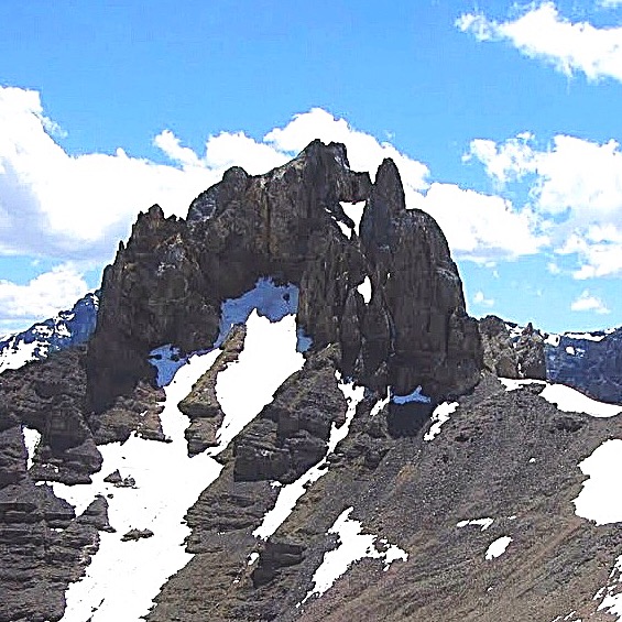
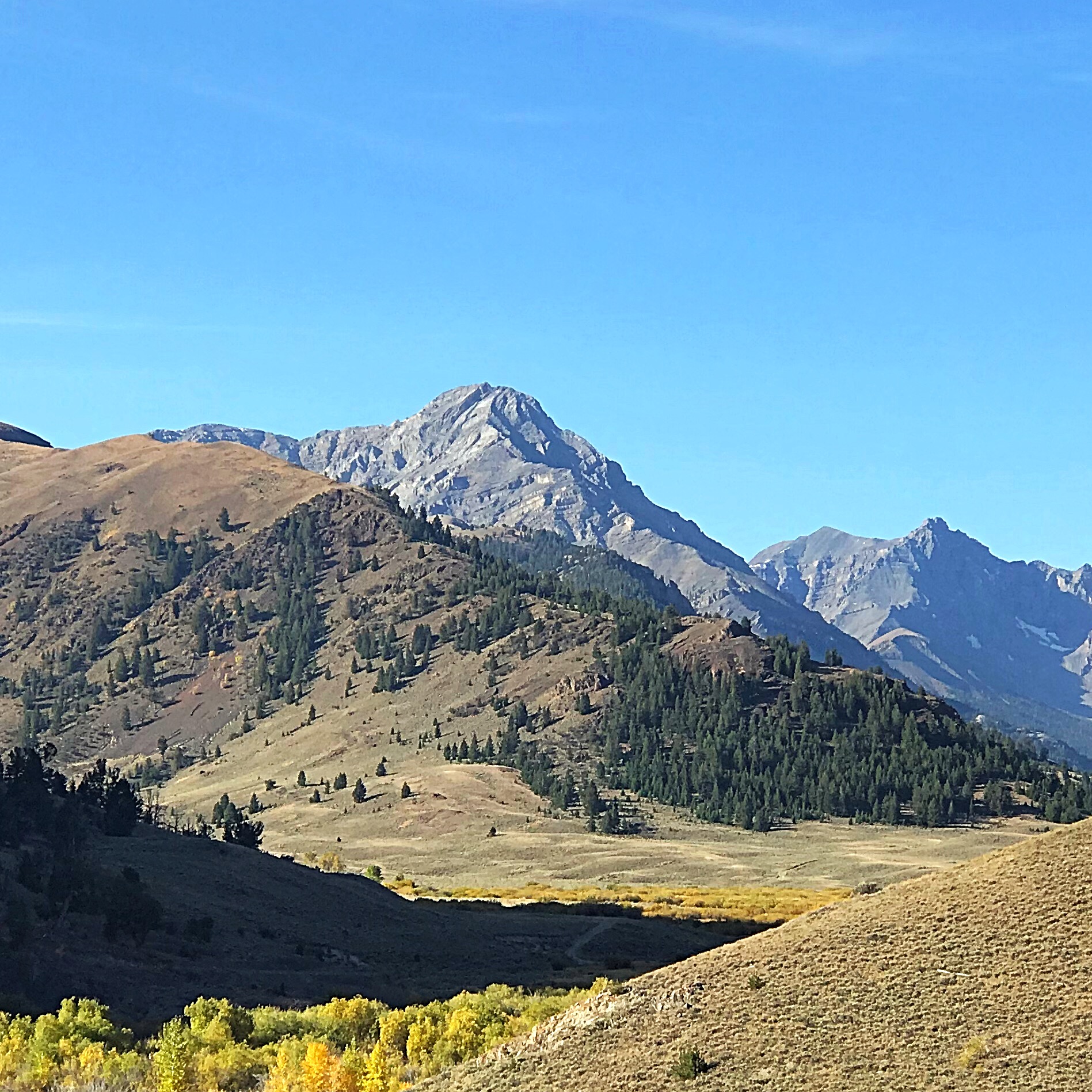
Idaho’s Lost River Range is an actively uplifting fault-block at the northern end of the Basin and Range province. Extensional faulting has lifted the range relative to the down-dropped Big Lost River basin on its west side, producing steep ridges and slopes essentially devoid of foothills. Interior and eastern regions of the range are deeply incised by the Pahsimeroi and Little Lost Rivers. Most of the range, particularly in the central and southern regions, consists of thick layers of Paleozoic limestone and dolomite. Multiple episodes of tectonic deformation have resulted in dramatic open to isoclinal folding at a scale of meters to kilometers. Glaciation has carved numerous cirques throughout the range and alpine lake basins are scattered in the central and eastern portions. These combined activities have created an impressive assortment of large, high angled faces with western, northern, and eastern aspects.
- A list of all Lost River Range peaks found on this website can be found at this link: Lost River Peaks
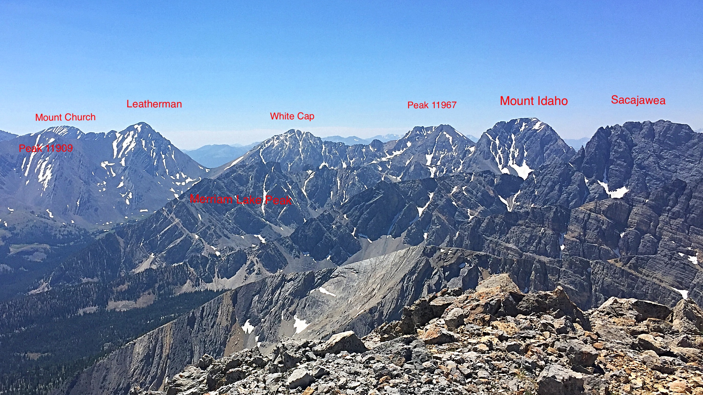
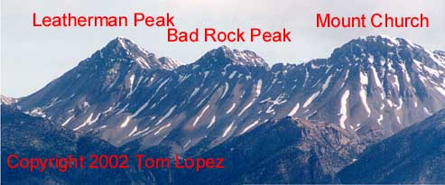
- Check out Larry Prescott’s labeled photos from the summit of Leatherman Peak to identify many of the major peaks.
- Pat McGrane’s article covering his 2007 traverse from Borah to No Regret Peak is an excellent read, The High Route to No Regret Peak.
- Enjoy Wes Collins’ 2014 account of his Borah to Lost River Peak, The Lost River Traverse.
- If you are interested in Ski Mountaineering in the range, check out Cody Feuz’s Hi-Adventure website.
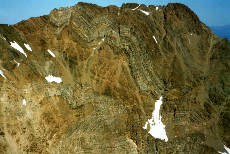
If you like contorted rock, the Lost River Range is the place to visit. This contorted wall is on the side of Peak 11967.

Triple Peak viewed from True Grit.
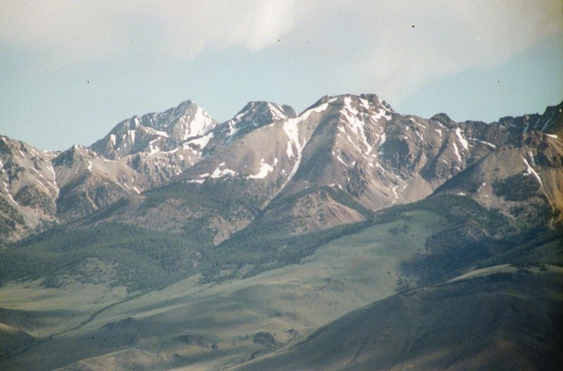
The northern section of the Range includes dozens of challenging peaks. This view south from Mount Darcy includes Pavlos Peak, Petros Peak, and Pahsimeroi Pyramid. George Reinier Photo
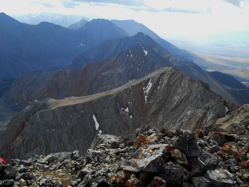
The main Lost River Range crest as viewed from Mountaineers Peak.
The Pahsimeroi Crest viewed from Peak 8473.
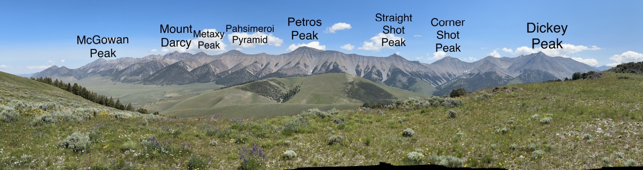
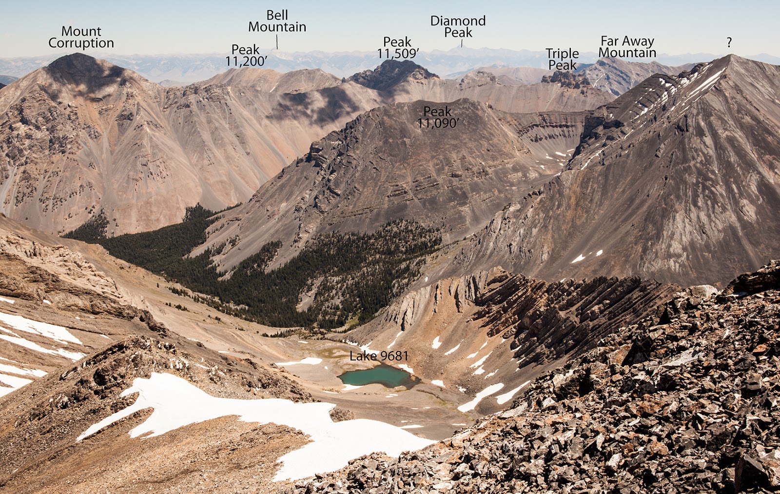
The Pahsimeroi Front from Mount Darcy (11,090′):
Looking south are Peak 10750, Metaxy (10,757′), Pahsimeroi Pyramid (10,749′), and Petros Peak (11,050′). Pat McGrane Photo
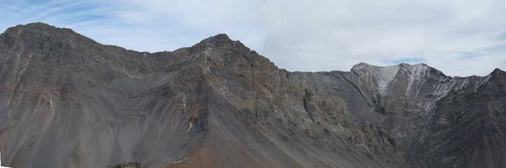
Mount Church, Donaldson Peak, and Mount Breitenbach as viewed from Peak 10720+
Mount Borah, Sacajawea, and Mount Morrison as viewed from the Burma Road high in the White Knob Mountains.
Ferguson Peak (left of center) viewed from Dry Creek.
The view from Leatherman Peak. Larry Prescott Photo
Regions: EASTERN IDAHO->Lost River Range
Mountain Range: Lost River Range
Pingback: From Diamond Peak to Hyndman Peak: Kelly Lance’s 12er Traverse by Tom Lopez - IDAHO: A Climbing Guide