Elevation: 8,060 ft
Prominence: 1,960

Climbing and access information for this peak is on Page 347 of the book. Livingston Douglas provided the updated access information found below. Updated November 2019
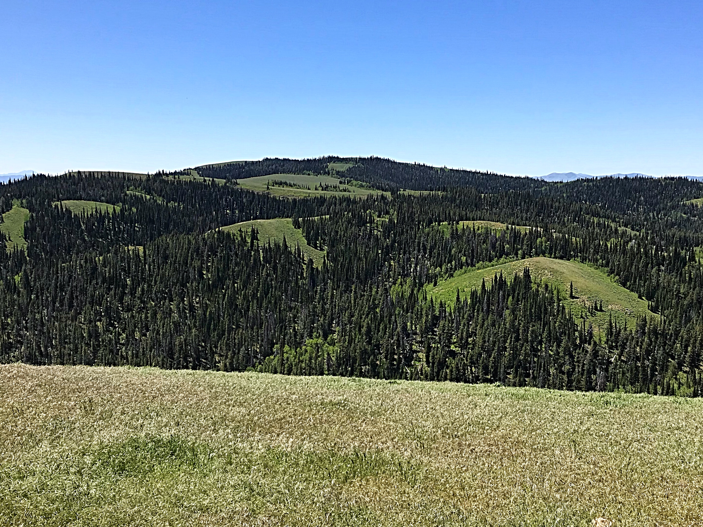
This Monument Peak is the highest point in Idaho’s South Hills. It is one of 12 Idaho peaks using word Monument in its name. It is a large, dome-shaped peak interspersed with forest groves and meadows. The peak has two broad summits with the South Summit the highest by ten feet. USGS Mahogany Butte
Monument Peak as viewed from Trapper Mountain.
The summit is covered by grasses and flowers and has incredible views into Northern Nevada. These views included Pilot Peak near Wendover, Nevada and the Jarbidge Mountains. Idaho views include the Albion Range to the east, the Snake River Plain, and the surrounding South Hills.
Access and Route, Class 1
Roads of varying quality lead all the way to the summit of Monument Peak. The peak can be reached from I-84 at Exit 182 or from Oakley, Idaho [(A)(1) or (B)(1) on Page 347]. Google Maps works well when you are approaching from the freeway. Just search for Monument Peak, Cassia County. This approach starts on the Rock Creek Road/FS-515 which is paved until just past the Magic Mountain Ski Area. The unpaved road is improved and although bumpy in places, passable when dry to passenger cars with good clearance until it reaches FS-671 in 6.1 miles from the ski resort.
Livingston Douglas provides the access update: From its junction with FSR-538, hike (or drive) south on FSR-671/Monument Peak Road about a mile to reach a signed junction with a rough road going L/N with a sign that says “Monument Peak.” Do NOT hike up this road. This rough road leads up to the [lower] North Summit. Continue southward on FSR-671 for another ½ mile, dropping 45 vertical feet on the way, to reach the open terrain of the West Face of the [higher] South Summit. Leave FSR-671 here and either scramble up the easy, open terrain to the summit or follow an old road (unsigned) that heads NE up a gully then leave it when it reaches the ridge crest. Walk south to the summit. The USGS benchmark is in a ground boulder with triangulation posts nearby.
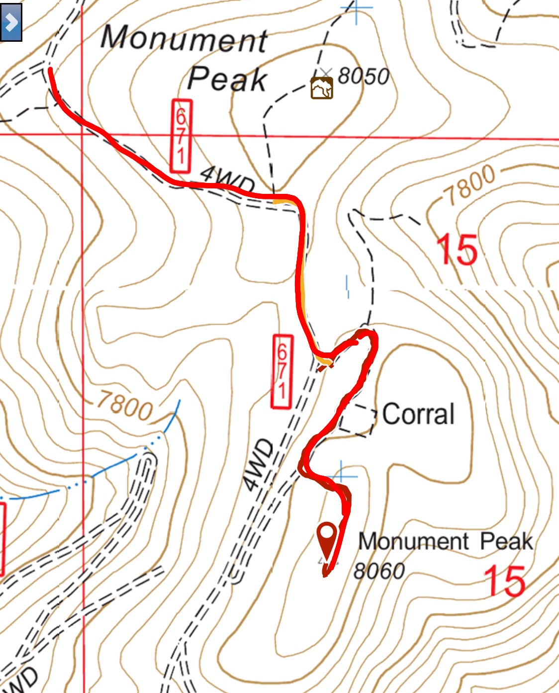
My GPS track.
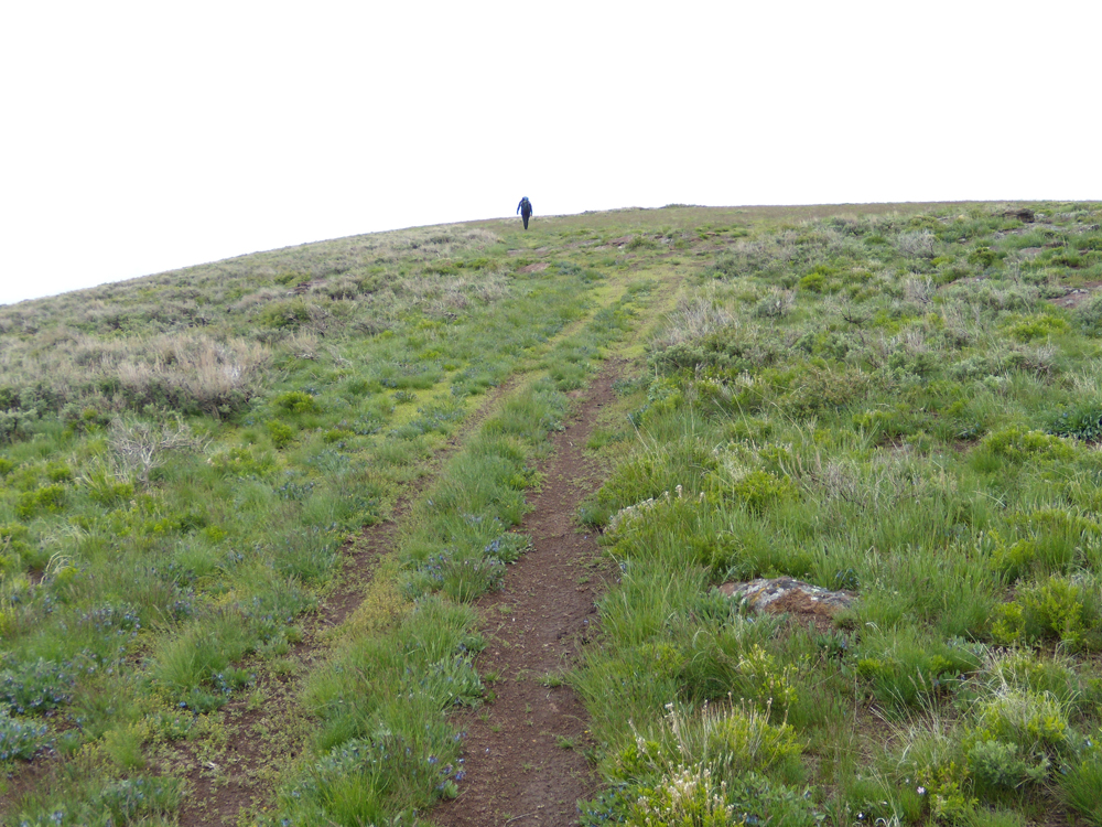
The two-track leading from FS-671 to the summit of Monument Peak. John Platt Photo
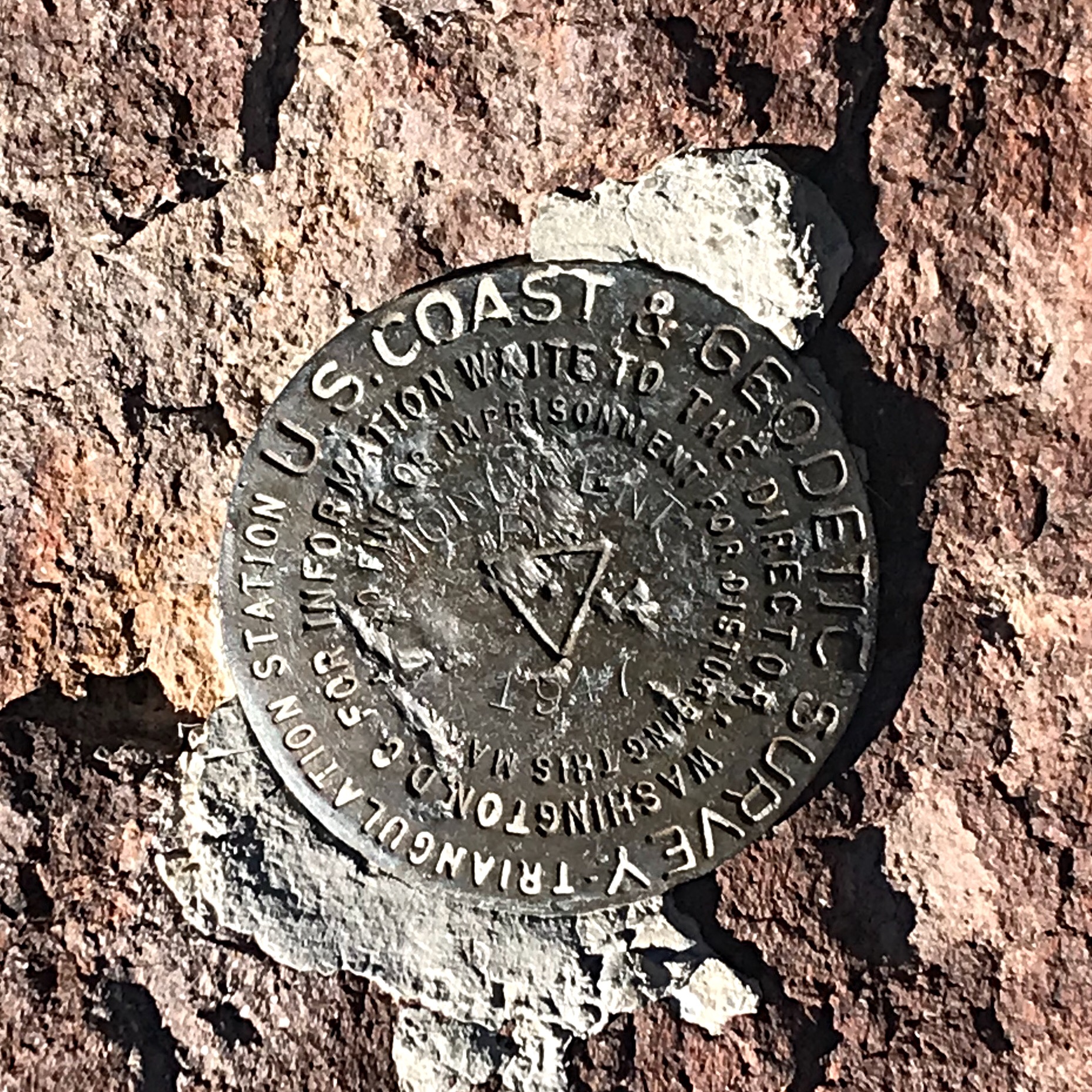
The summit benchmark.
Additional Resources
Regions: South Hills->SOUTHERN IDAHO
Mountain Range: South Hills
Year Climbed: 2018
Longitude: -114.21789 Latitude: 42.11989