Elevation: 9,207 ft
Prominence: 885

Climbing and access information for this peak is on Page 120 of the book. Updated August 2019
This is the first peak south of Elk Summit and is part of an impressive, high ridgeline that connects Elk Summit and Profile Gap. The summit is a short scramble from Elk Summit and FS-340. This peak was named for a Captain Eldridge who mined in the area in 1870s. USGS Wolf Fang Peak
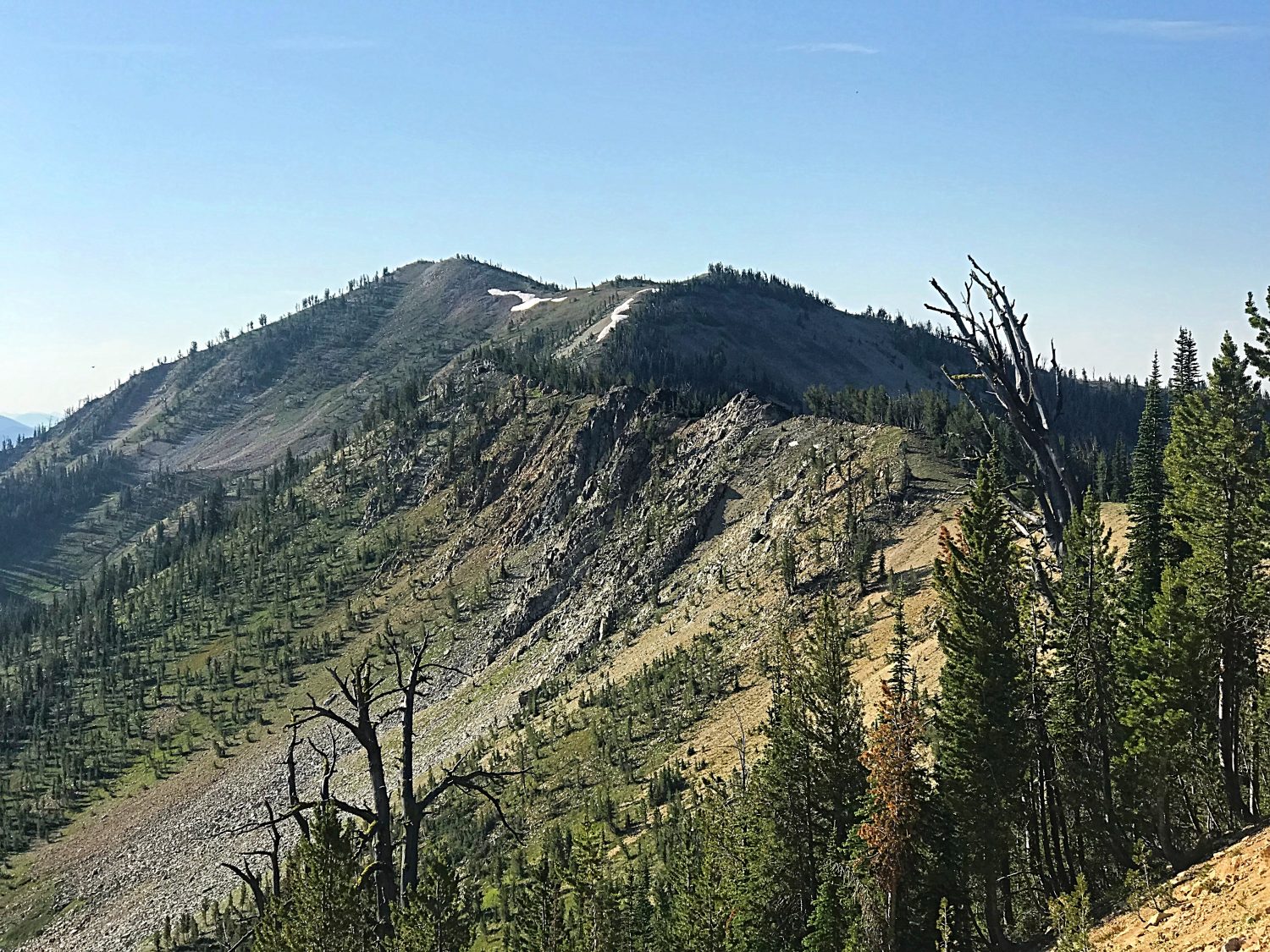
Mount Eldridge as viewed from just above Elk Summit.
Access
Access is via the Yellow Pine to Warren Road [(B)(3.2) on Page 137].
Traveling through this area of the Salmon River Mountains requires a high-clearance vehicle with good AT tires at a minimum. These roads traverse burned areas and you should understand that there is a high probability of encountering downed trees on the road. Taking a chainsaw is not a bad idea.
Northwest Ridge, Class 2
The route description in the book is accurate. The game trail described in the book is still there but is hard to find. Rather than looking for the trail, it is just as easy to climb straight up from Elk Summit to the top of the Northwest Ridge. Then follow the ridge to the summit, bypassing a couple of rocky obstacles on their south sides. It is 1.2 miles and 600 feet of elevation gain to the summit. You can continue on to Dixie Mountain.
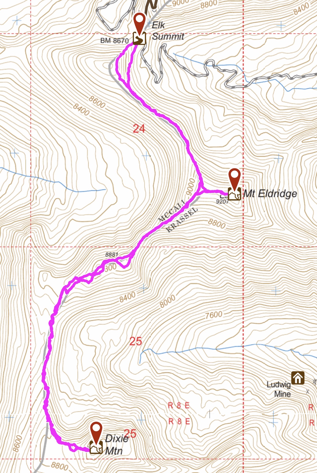
My GPS track for the route to Mount Eldridge and Dixie Mountain.
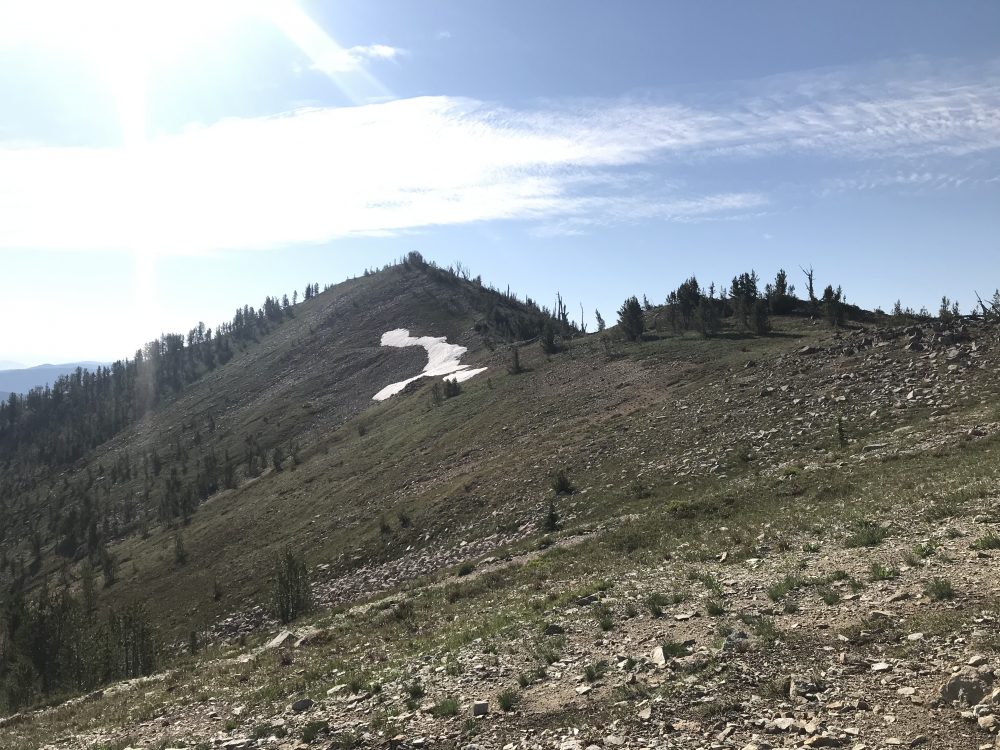
The upper slopes of Mount Eldridge.
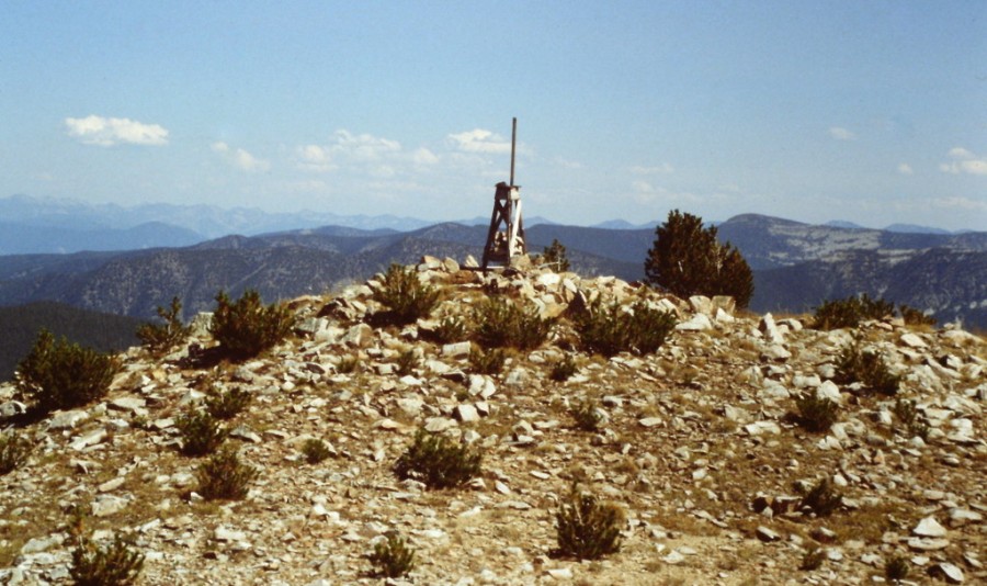
The summit of Mount Eldridge in 1988. The survey tripod was gone in 2019.
Additional Resources
Regions: Big Creek to Red Ridge Peaks->Central Salmon River Mountains->Salmon River Mountains->WESTERN IDAHO
Mountain Range: Central Salmon River Mountains
Year Climbed: 1988, 2019
Longitude: -115.4141 Latitude: 45.1397