Elevation: 7,621 ft
Prominence: 1

This peak is not in the book. Published January 2023
Patterson Ridge is a well-labeled ridge that sits above the Patterson Creek drainage in the Big Hole Mountains northwest of Victor. The official summit is a measured point on the ridge and is shown on the USGS topo map. Yes, it has a prominence of only one foot. Go figure. This is the final leg of a 4-peak trek that includes Mahogany Ridge West (7,990 feet), Horse Heaven (8,260 feet), Henderson Peak (8,312 feet), and Patterson Ridge. It covers 9.5 miles with 2,750 feet of elevation gain round trip. USGS Bates

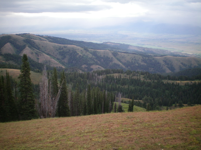
Patterson Ridge (in mid-ground) as viewed from the summit of Red Mountain to its southwest. Livingston Douglas Photo
Access
Same as for Mahogany Ridge West. This is the final leg of a 4-peak journey.
Northwest Ridge, Class 1
The Climb
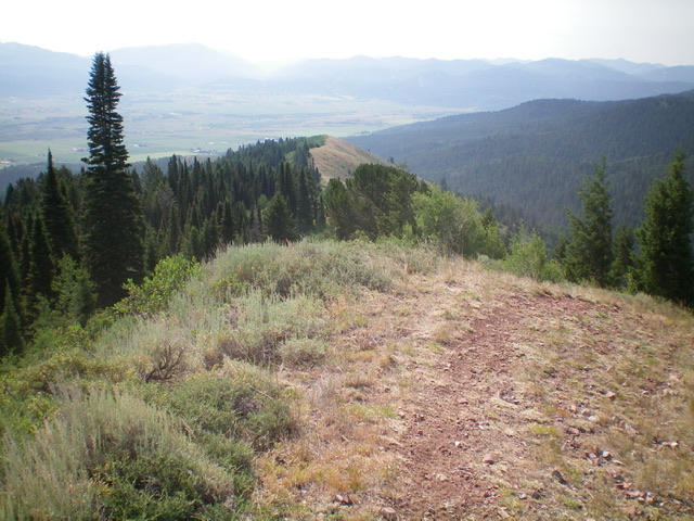
From the small ridge saddle to its northwest, hike a short distance on an unofficial trail to reach the high point. There is no summit cairn.

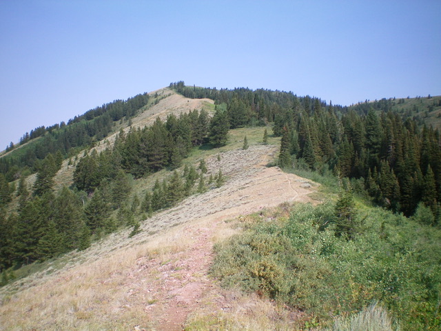
Looking up the ridge line at Henderson Peak from the official summit of Patterson Ridge. Livingston Douglas Photo
Southeast Ridge, Class 2
The Descent
From the summit, continue southeast down the ridge crest on open scrub and an unofficial trail (initially). At about 6,600 feet, the ridge steepens considerably. Leave the ridge here and bushwhack left/east down thick brush and loose underlying scree/gravel to reach a side drainage and FST-211. Follow FST-211 right/south to quickly reach a trail junction along Patterson Creek with the Patterson Creek Trail (FST-237). Follow FST-237 down Patterson Creek (requiring three wide, shallow creek fords) back to your parked vehicle at the trailhead.
Additional Resources
Mountain Range: Big Hole and Snake River Mountains
Longitude: -111.2439 Latitude: 43.6461

