Elevation: 10,100 ft
Prominence: 400
Climbing and Idaho access information for this peak is on Page 325 of the book. Livingston Douglas climbed the peak from the Montana side of the border. Published November 2020
Reentrant Peak is located on a corner of the Continental Divide. To the west is rugged Dianes Peak (10,404 feet). To the south is gentle Peak 10340. Reentrant Peak sits above the headwaters of Idaho’s Willow Creek and towers over Montana’s Nicholia Creek. USGS Eighteenmile Peak
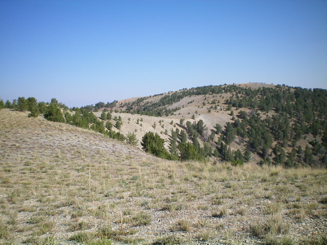
Reentrant Peak and its wide, gentle south ridge. Livingston Douglas Photo
Montana Access
From Exit 23/Dell on I-15 in Montana, cross under I-15 to its west side. Turn left/southeast onto the frontage road and drive 1.6 miles to the [signed] junction with Big Sheep Creek Road. Turn right/southwest onto Big Sheep Creek Road and reset your odometer. At 16.7 miles, reach a road junction. Go left for Meadow Creek/Nicholia Creek. At 16.8 miles, reach another road junction. Go left onto Nicholia Creek Road/FSR-657. At 17.1 miles, reach a road junction. Go straight on Nicholia Creek Road. At 19.6 miles, turn left. At 23.3 miles, turn left. At 24.1 miles, reach the NF boundary and go left. At 24.4 miles, reach a signed road junction.
Go right onto Nicholia Creek Road. At 26.8 miles, reach the end of the road and the Nicholia Creek/CDT trailhead. Park here (7,850 feet). The final 3.4 miles on Nicholia Creek Road is narrow, rocky, and rough. It includes mud holes and three drainage crossings. This climb is the first leg of a 3-peak adventure that includes Reentrant Peak (10,100 feet), Peak 10340, and Peak 10077. All three of these ranked summits are on the Continental Divide.
Northeast Shoulder/North Ridge, Class 2
The Climb
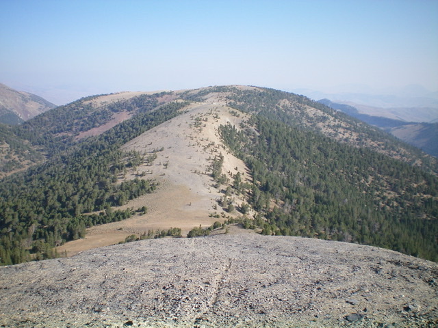
From the Nicholia Creek trailhead, hike south on the CDT for about 1.8 miles to the crossing of a feeder stream at 8,200 feet. Leave the CDT just before the crossing and bushwhack up into the forest on the shoulder on the right/west side of the drainage, using cattle trails and elk trails to expedite the ascent. Climb the forested northeast shoulder (with some sections of easy, short field grass) to reach Point 10007. This is a fairly steep climb without much blowdown.
From Point 10007, descend south about 100 vertical feet in semi-open forest to a saddle. From the saddle, hike southwest then south in easy, open terrain (short tundra and broken rock) to reach a ridge hump northwest of Reentrant Peak. Drop southeast to a minor saddle then cruise east-southeast to the gentle summit of Reentrant Peak. The summit has an ID/MT boundary post atop it.
The final uphill section of the south ridge of Reentrant Peak. The summit is the bare hump right of center. Livingston Douglas Photo
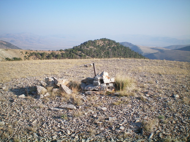
The summit of Reentrant Peak with forested Point 10007 in the background. Livingston Douglas Photo
The summit of Reentrant Peak, looking south. Peak 10340 is the hump in dead center. Livingston Douglas Photo
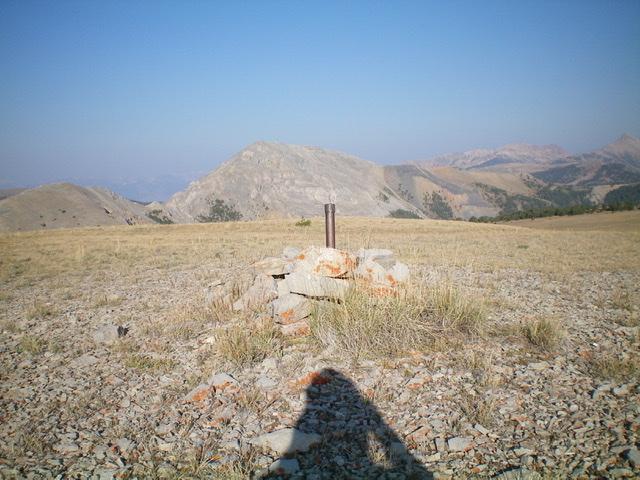
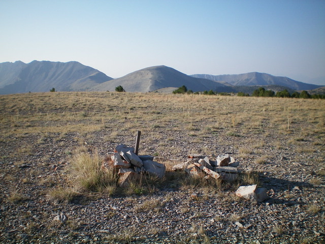
The summit of Reentrant Peak, looking west. Dianes Peak is left of center. Pardon my shadow. Livingston Douglas Photo
South Ridge, Class 2
The Descent
From the summit, descend south through semi-open terrain to reach a narrow ridge saddle. Continue south over Point 10001 and down to another saddle at 9,740 feet. This is the low point and connecting saddle between Reentrant Peak and Peak 10340. The terrain on this ridge traverse is easy, open scrub with some scattered pines on the initial descent from Reentrant Peak. This concludes the first leg of today’s journey. Peak 10340 is up next.
Additional Resources
Regions: Beaverhead Range->EASTERN IDAHO
Mountain Range: Beaverhead Range
Longitude: -112.88439 Latitude: 44.40209