Elevation: 10,349 ft
Prominence: 449
This peak is not in the book. Michael Darcy, Rick Baugher, and Livingston Douglas are the only climbers known to have visited this peak. Livingston Douglas’ ascent and descent routes are set out below. Updated December 2019
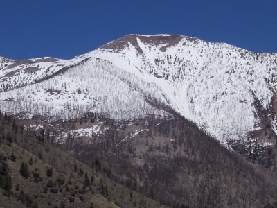
Peak 10349 is located on the main Lemhi Range Crest south-southeast of May Mountain. It is a ranked summit high on the south ridge of May Mountain (10,971 feet). It is also a ridge junction that connects the high ridge on the west side of Morse Creek Canyon to the south ridge of May Mountain. It is a mountain climber’s heaven up here. Beautiful, high, challenging alpine ridges with no bushwhacking or sagebrush. The easiest ascent route is the north ridge via Morgan Creek Road. USGS May Mountain
Access
Morgan Creek or Morse Creek [(C)(1) and (C)(2) on Page 317]. Morse Creek Road/FSR-094 is located exactly 10.2 miles south of US-93 on the [paved] Pahsimeroi Highway. From the signed turnoff on the east side of the highway, drive 4.3 miles to the Challis National Forest boundary. At 6.2 miles, park in a pullout on the right/east side of the road (6,220 feet). FST-071 (signed) is across the road. Please refer to the Peak 9381/Burnt Tater posting for details on the climb up to the 8,860-foot connecting saddle, where this climb begins.
South Ridge, Class 2+
This climb is part of a ridge traverse from Peak 9381/Burnt Tater to Peak 10349. From the 8,860-foot connecting saddle, scramble north up a grassy, burnt forest hillside (downed timber here), angling right/northeast to intercept a shoulder heading north up to Point 10077. You will find sporadic, weak elk trails to help in this scramble up loose scree and blowdown for 1,200 vertical feet. Once atop Point 10077, you are above tree line and free of the incessant blowdown.
Follow the narrowing ridge crest northwest to a 9,820-foot saddle, losing over 250 feet of elevation in the process. From the narrow saddle, scramble north on the ridge crest through some ridge chop (Class 2+). It’s a pure talus/scree scramble to the top of Peak 10349. The summit is a small hump of talus/scree. I built a new summit cairn using the remnants of a torn-down cairn.
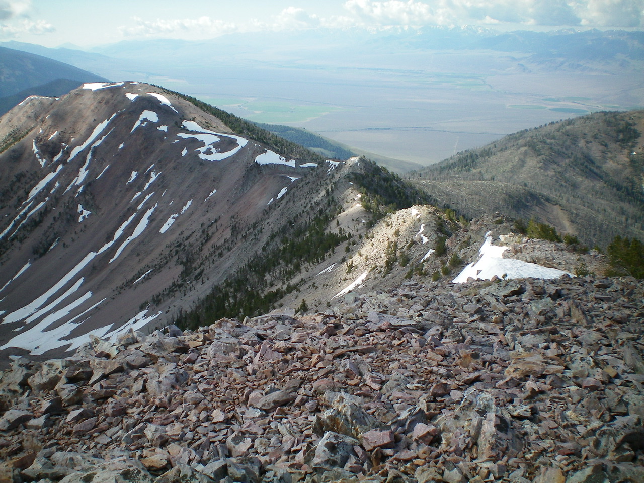
The south ridge of Peak 10349 as viewed from the summit. Point 10077 is the bare hump left of center. Livingston Douglas Photo
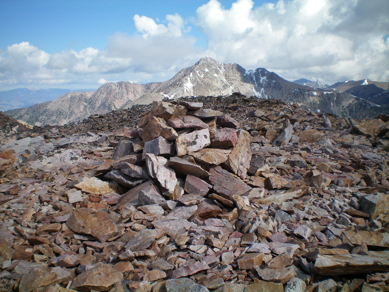
The rebuilt summit cairn atop Peak 10349. Livingston Douglas
Northeast Ridge, Class 2
Access
Same as for the south ridge
The Descent
From the summit, descend an easy ridge of scree to reach the 9,860-foot connecting saddle with Peak 10310. This ¼-mile, 500-foot descent takes all of 8 minutes—by far, the easiest ridge section in today’s long journey.
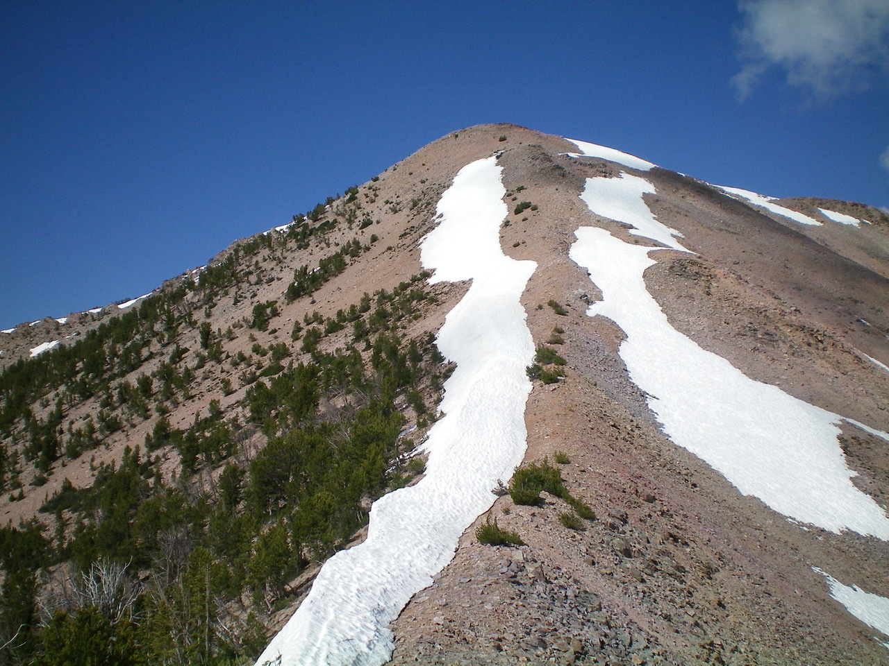
The easy northeast ridge of Peak 10349 as viewed from just east of the connecting saddle at the base of the ridge. Lots of lingering snow on both sides of the ridge. Livingston Douglas Photo
Additional Resources
Regions: EASTERN IDAHO->Lemhi Range
Mountain Range: Lemhi Range
Longitude: -113.81339 Latitude: 44.66319