Elevation: 5,081 ft
Prominence: 341
This peak is not in the book. Additional Danskin Mountains access information is in the book [(D)(1) on Pages 154-155 and (G)(1) on Page 156]. Also see the following website page: Danskin Mountains OHV Trails. Published May 2018
Raspberry Peak is located between the main Danskin Mountains Crest and the South Fork Boise River. Like many of the northeast Danskin peaks, Raspberry Peak (the real “Devils Hole Peak”) offers tremendous views of the wildly-varying surroundings. It has a unique and attractive horseshoe-shaped summit that makes for a wonderful short stroll. I suspect that the additional ridge walk out to Point 4899 is even more enjoyable with still better views down into Devils Hole, but I ran out of time to complete that trek. USGS Danskin Peak
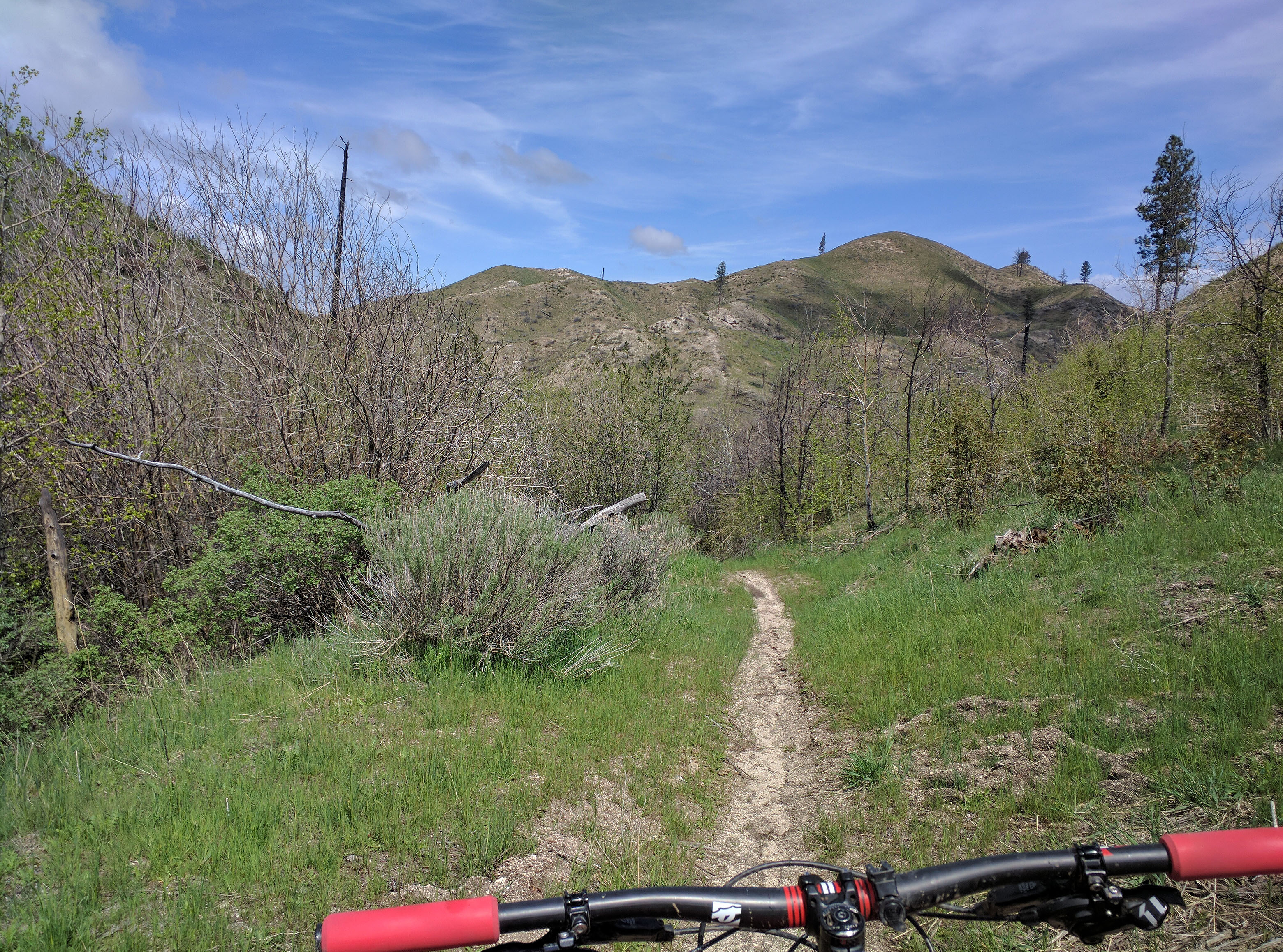
Raspberry Peak. Erik Pohlmann Photo
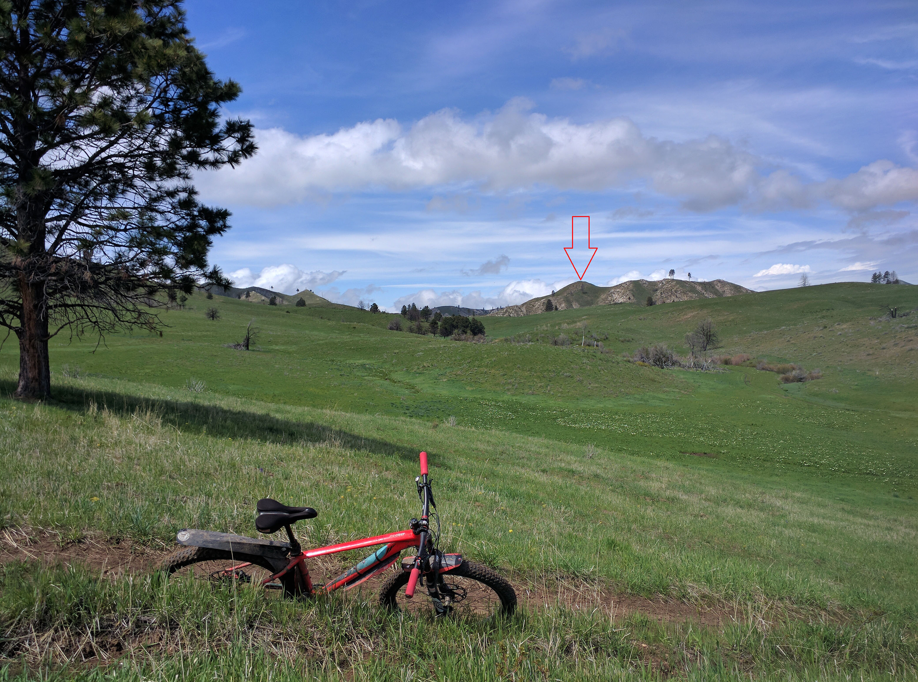
Raspberry Peak as viewed from Ballinger Flat. Erik Pohlmann Photo
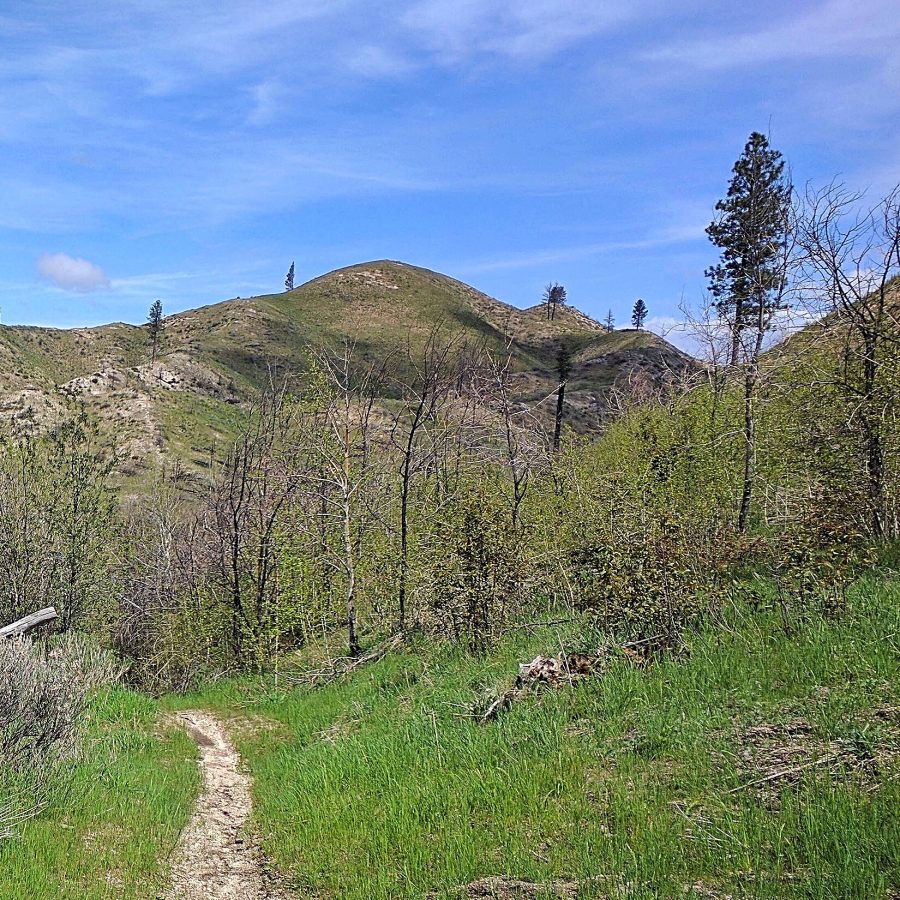
Raspberry Peak as viewed from FST-331. Erik Pohlmann Photo
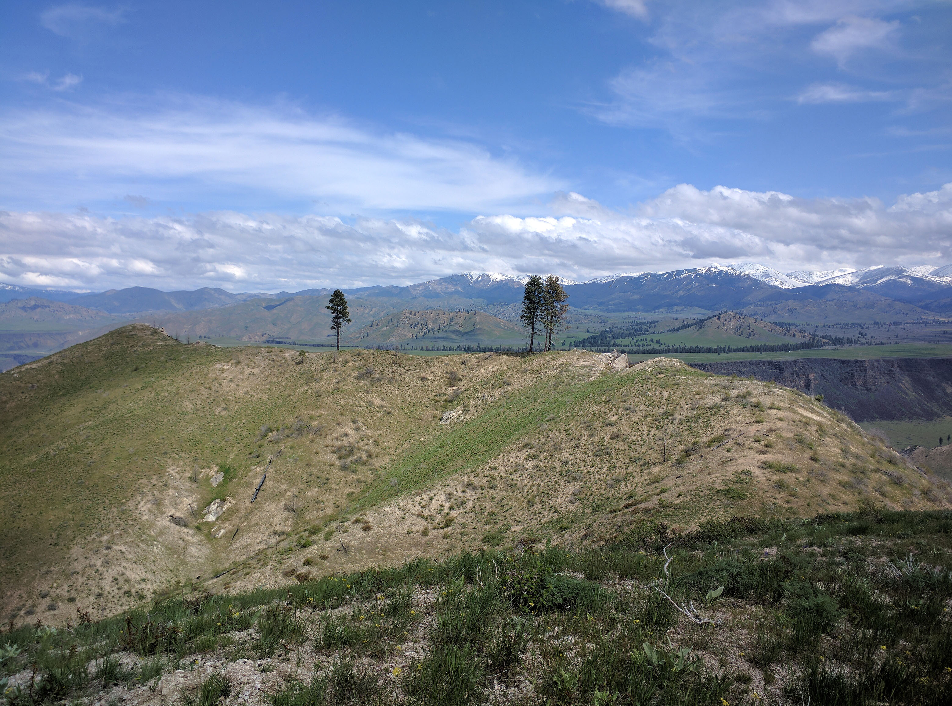
Raspberry Peak’s attractive horseshoe-shaped summit. Erik Pohlmann Photo
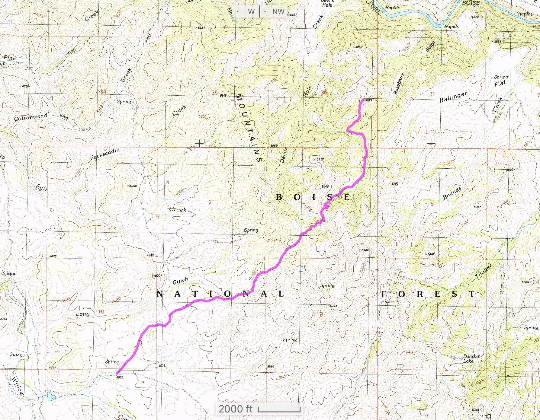
Erik’s GPS track.
Additional Resources
Regions: Boise Mountains->Danskin Mountains->WESTERN IDAHO
Mountain Range: Boise Mountains
Longitude: -115.67979 Latitude: 43.46379