Elevation: 5,100 ft
Prominence: 320
This peak is not in the book. Livingston Douglas revised the access section, provided a new route, added new photos. Erik Pohlmann has provided a new route variation for this peak which is set out below. Updated October 2023
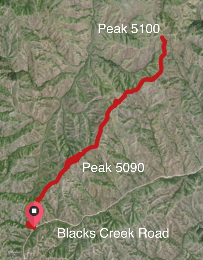
Peak 5100 is located on a ridge that separates Grouse Creek and Blacks Creek. I recommend climbing it and Peak 5096 via the connecting ridge. The peak can also be climbed from Blacks Creek via Lime Creek. See the Peak 5096 page for details. USGS Arrowrock Dam
Peak 5100 sits at the head of Lime Creek and west of Grouse Creek on the western end of the Danskin Mountains
Access
FST-291/Woodtick Creek Trail is located 0.4 miles north of Blacks Creek Pass on Blacks Creek Road. The trailhead is signed. Blacks Creek Pass is 10.8 miles northeast of I-84. There is parking for 1-2 vehicles at the trailhead.
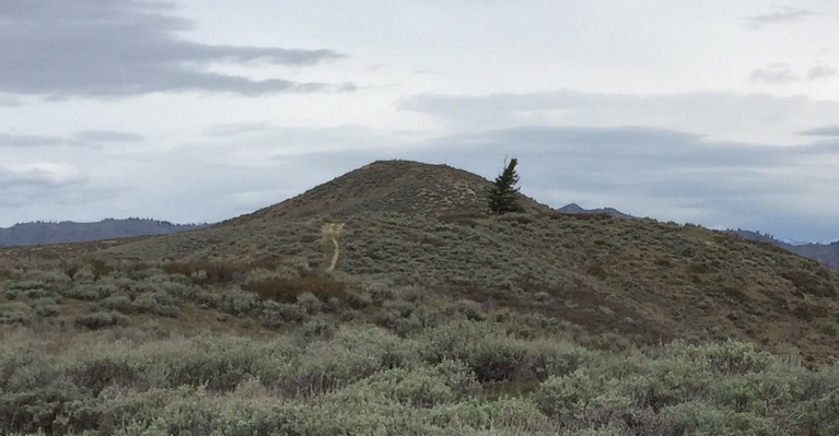
Southeast Ridge, Class 2
FST-291 starts here, works up the creek for a short ways and crosses the creek. The trail quickly climbs up to a pass at the head of Grouse Creek and a junction. The left fork descends into the drainage. Follow the right fork along the ridge toward the summit of Peak 5096, which is reached in 1.67 miles. Stay on the road which continues past Peak 5100 with a few ups and downs. When you reach a gate in the fence on Peak 5100’s east ridge, pass through the gate and make the short climb to the summit.
The route from the Blacks Creek/Woodtick Creek trailhead quickly gains the ridge and follows an old road northward.
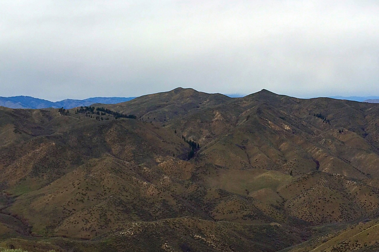
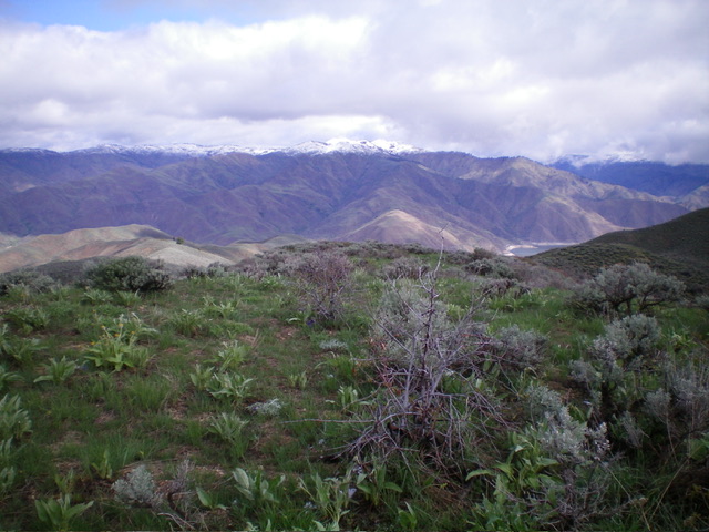
Kepros Mountain as viewed from Peak 5100
West Ridge by Livingston Douglas
West Ridge, Class 2
The Climb
As of 2023, the old road/trail is still open to the public but requires 240 feet of extra uphills (round trip) when climbing Station Peak from the Woodtick Creek trailhead. Worse yet, the old road/trail requires an additional 1,210 feet of uphills (round trip) when doing the roundtrip ridge traverse from Station Peak to Deep Peak. Dan Robbins’ trip report understates the actual elevation gain required to climb Deep Peak by ignoring the extra uphill required.
It is about three miles from Station Peak to Deep Peak. The old ridge road reaches an unsigned junction at the base of the south ridge of Deep Peak. The Southeast Ridge Route heads straight/north from here to reach the east ridge. My route heads left/west from this junction to climb the west ridge. The old road heads west then north to reach the west ridge. The road makes a sharp left/west bend here. Leave the road and bushwhack right/east through easy sagebrush to reach the small, sagebrush-covered summit of Deep Peak. The summit has no summit cairn or summit register.
Deep Peak as viewed from the south. Livingston Douglas Photo
The sagebrush summit of Deep Peak. Livingston Douglas Photo
Deadman Creek Loop by Erik Pohlmann
The Route
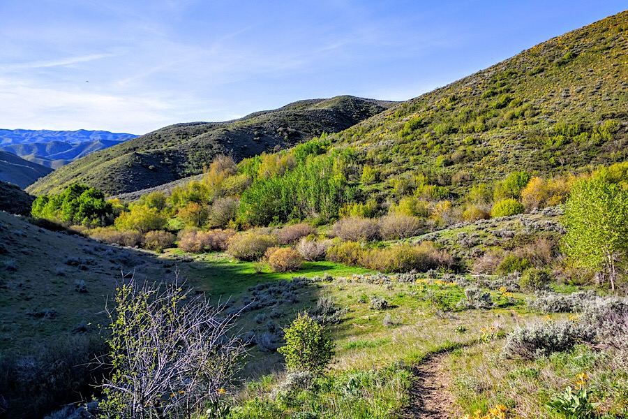
Deadman Creek. Erik Pohlmann Photo
2) Then cross-country for a mile, following the the ridge west until running into an old road. Keep following that road east along the same ridge for an additional mile or so. This takes you past one of the most forested parts of the Danskin Mountains north of Blacks Creek Road and is quite scenic. See linked photo.
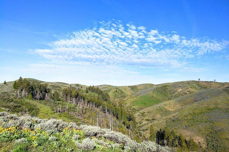
The forested area along the route. Erik Pohlmann Photo
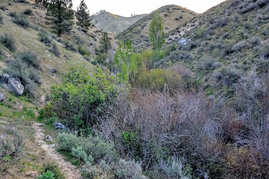
Lime Creek. Erik Pohlmann Photo
9) Follow and descend Blacks Creek Road for the last mile back to your vehicle.
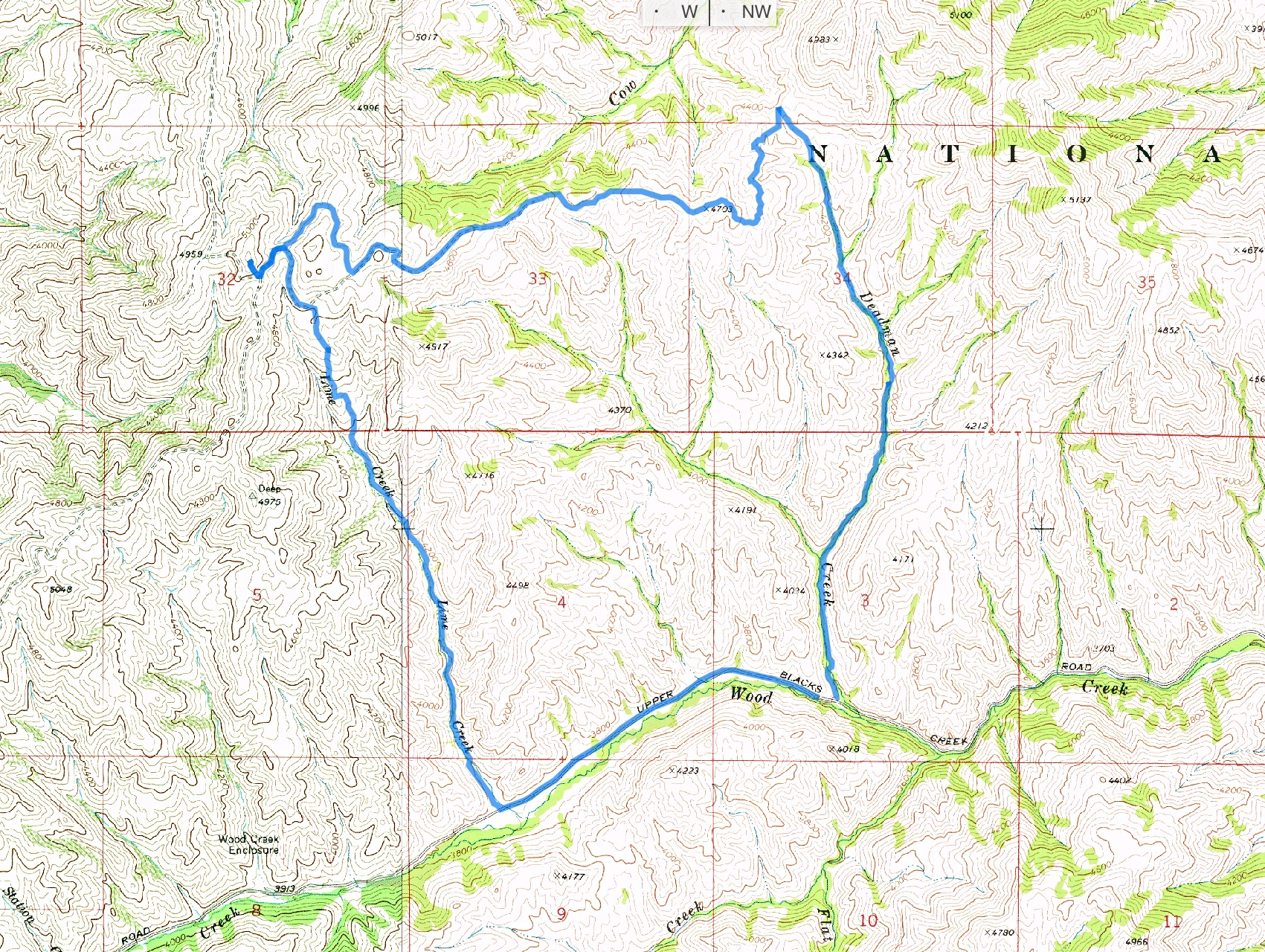
Erik’s GPS track for the loop route.
Additional Resources
Regions: Boise Mountains->Danskin Mountains->WESTERN IDAHO
Mountain Range: Boise Mountains
Year Climbed: 2015, 2019, 2020
Longitude: -115.8855429 Latitude: 43.55429