Elevation: 5,340 ft
Prominence: 720
This peak is not in the book. Additional Danskin Mountains access information is in the book [(D)(1) on Pages 154-155 and (G)(1) on Page 156]. Also see the following website page: Danskin Mountains OHV Trails. Published May 2018
Mayfield Peak is located on the westernmost Danskin Mountains Crest. The summit is located on private property. Secure permission before ascending this peak. USGS The Roost
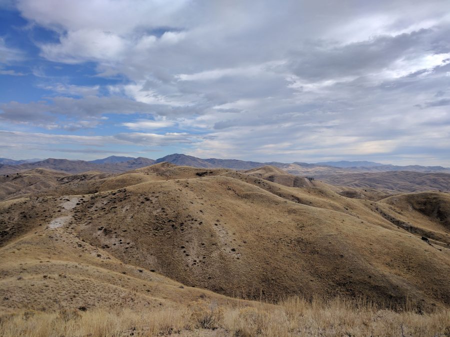
Mayfield Peak as viewed from the west.
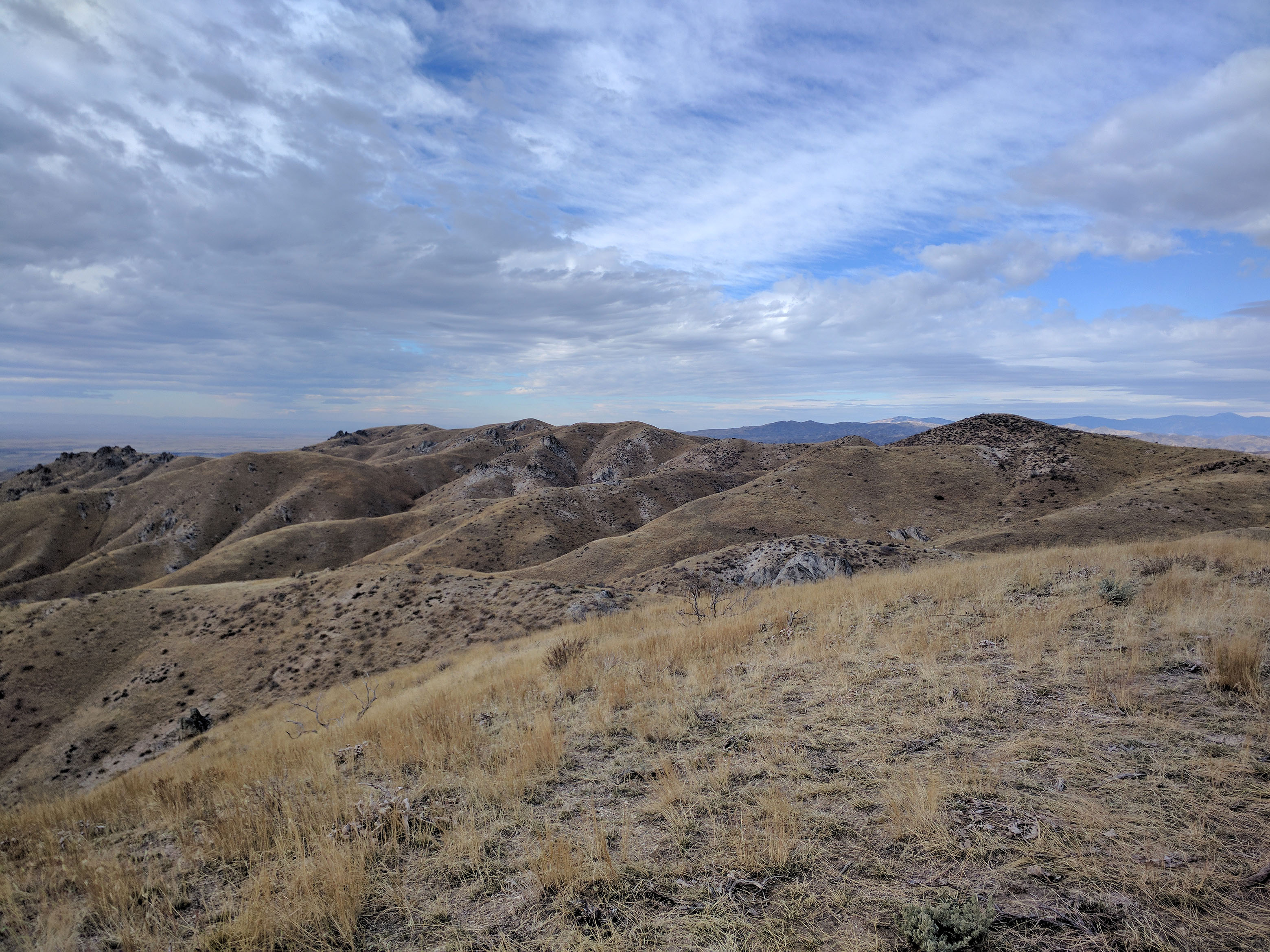
Mayfield Peak as viewed from the south.
Mayfield Peak is really an unobtrusive 2-mile long ridge that runs in an East-West direction. The high point is difficult to ascertain. It is supposedly located on its East End. Mayfield Benchmark is supposedly located on the West End although I’ve never been able to locate it.
Additional Resources
Regions: Boise Mountains->Danskin Mountains->WESTERN IDAHO
Mountain Range: Boise Mountains
Longitude: -115.79169 Latitude: 43.42719