Elevation: 5,550 ft
Prominence: 380
This peak is not in the book. Published November 2020
Peak 5550 is one of two ranked summits in the Stone Hills. The Stone Hills are a small group of rock-and-juniper hills that are located at the tail end of the Sublett Range southwest of Holbrook, ID. Peak 5550 is most easily accessed via BLM-644. Combine Peak 5550 with a climb of nearby Stone Hills HP (5,630 feet) for a more complete adventure. USGS The Cove
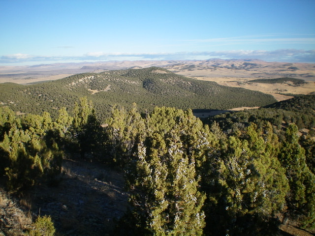
Peak 5550 (center, thickly forested) as viewed from near the summit of Stone Hills HP to the south-southeast. Livingston Douglas Photo
Access
BLM-602 is located just north of the Stone Hills and is on the south side of the Black Pine-Stone Road/BLM-604. The road junction is signed. This road junction is exactly 15.0 miles southwest of the junction of ID-38 and ID-37 in Holbrook and is 7.6 miles east of the west end of the Black Pine-Stone Road just west of I-84 and south of the town site of Black Pine. The Black Pine-Stone Road/BLM-604 begins at its junction with 3600W/BLM-607 just west of I-84.
East Face/North Ridge, Class 2
The Climb
From the base of BLM-602 at the Black Pine-Stone Road (5,105 feet), hike (or drive) southwest up BLM-602 about 0.2 miles to a [signed] junction. Go left/southeast onto BLM-644 and follow it for about 1.5 miles to the base of the [obvious] east face of Peak 5550. Leave the road and bushwhack southwest through some easy scrub then up through a juniper forest (gapped, not difficult) to reach the north ridge about 50 vertical feet below the summit in a semi-open area.
There is no ridge point north of here that is higher. Hike a short distance left/south to reach the summit high point of Peak 5550. The junipers block any visibility from the summit and there is no summit cairn on top. The ridge begins a gradual descent south then southeast from here. This simply MUST be the high point. I found a small summit cairn about 100 yards or so south of the true summit and is five feet lower in elevation according to my altimeter. There is no question that this is NOT the high point.
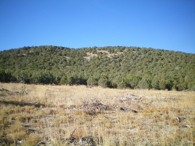
Peak 5550 and its east face as viewed from BLM-644. The summit is left of center. Livingston Douglas Photo
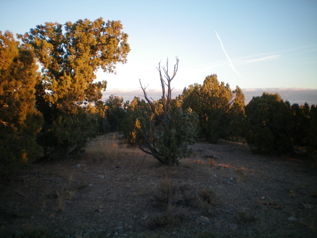
The true summit of Peak 5550 in the early-morning sun. Livingston Douglas Photo
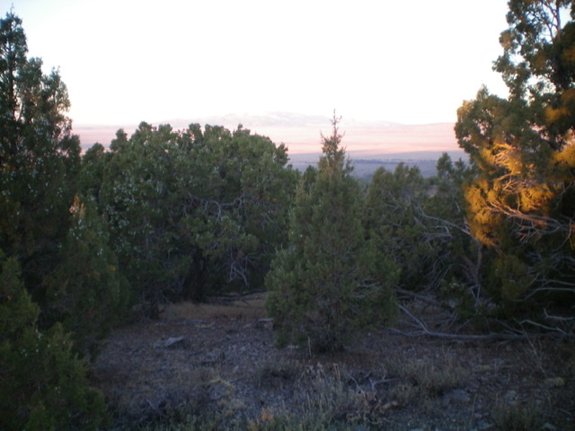
Another view of the summit area of Peak 5550. Livingston Douglas Photo
Southeast Shoulder, Class 2
The Descent
From the true summit, descend southeast then east through the juniper forest to reach an open area of dead junipers on the ridge. Descend southeast from here on the shoulder until it morphs into a face that is on the left/north side of a prominent gully. Bushwhack right/south to this dry gully through thick junipers. Head southeast to intercept BLM-180, a north-south jeep road that crosses the connecting saddle between Peak 5550 and Stone Hills HP (5,630 feet). The dry gully quickly morphs into a face before you reach the road. Once you reach BLM-180, follow the road right/south up to the connecting saddle at 5,170 feet. This concludes the first leg of today’s two-peak journey. Stone Hills HP is up next.
Additional Resources
Regions: SOUTHERN IDAHO->Sublett Range
Mountain Range: Sublett Range
Longitude: -112.79011 Latitude: 42.02319