Elevation: 5,630 ft
Prominence: 520
This peak is not in the book. Published November 2020
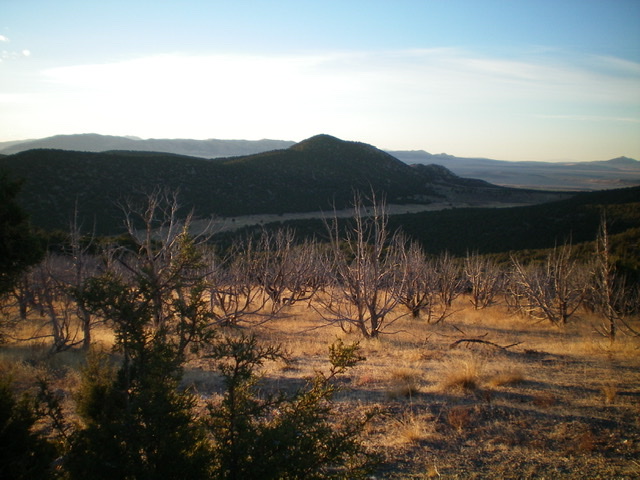
Stone Hills HP is the highest of two ranked summits in the Stone Hills. The Stone Hills are a small group of rock-and-juniper hills that are located at the tail end of the Sublett Range southwest of Holbrook, ID. Stone Hills HP is most easily accessed via BLM-644 and BLM-180. Combine Stone Hills HP with a climb of nearby Peak 5550 for a more complete adventure. Stone Hills HP is much rockier than its neighbor. USGS The Cove
Access
Same as for Peak 5550. This is the second leg of a two-peak adventure that begins along the Black Pine-Stone Road/BLM-604.
Northwest Face, Class 2
The Climb
From the 5,170-foot connecting saddle with Peak 5550, leave BLM-604 and do a leftward diagonal ascent southeast to intercept an obvious gully that leads up to the north ridge of Stone Hills HP at a saddle just north of the summit. Bushwhack through scrub and then a somewhat-tedious juniper forest to reach the dry gully. Cross the gully and climb straight up the STEEP northwest face in thick junipers and loose underlying gravel. Reach the semi-open north ridge just below the narrow ridge-crest summit area. There was a small cairn on the summit high point so I built it up quite a bit.
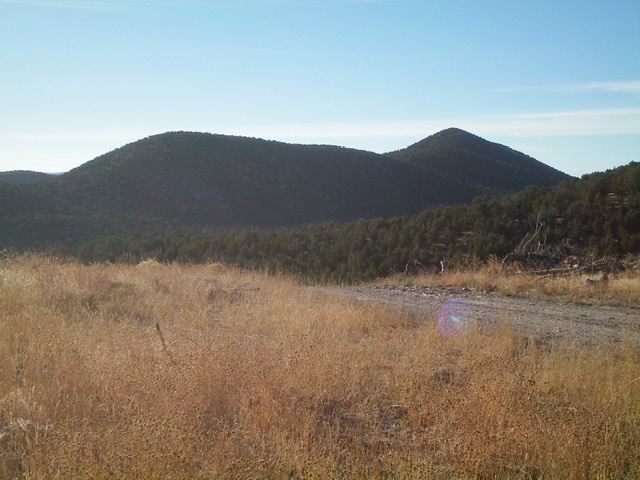
Stone Hills HP (summit is in dead center) as viewed from high on the southeast ridge of Peak 5550 to its northwest. Livingston Douglas Photo
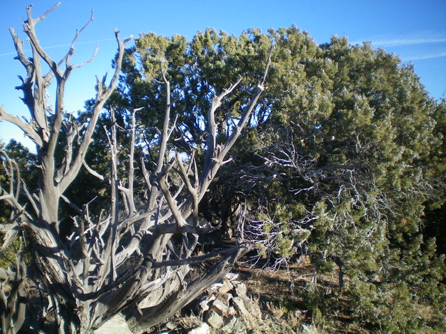
The thickly-forested ridgeline summit of Stone Hills HP with the summit cairn in the foreground. Livingston Douglas Photo
North Ridge/West Gully, Class 2
The Descent
From the summit, descend the juniper-clogged north ridge to a saddle. Leave the ridge and bushwhack west down a dry gully to reach open scrub and BLM-180. This gully is narrow, rocky, and somewhat steep. And, of course, it has scattered junipers to contend with as well. You will be happy to be back on a road. Follow BLM-180 right/north to a [signed] junction. Go left/northwest onto BLM-644 and follow it back to the junction with BLM-602. Go right/northeast onto BLM-602 and follow it 0.2 miles to your parked vehicle at the Black Pine-Stone Road.
Additional Resources
Regions: SOUTHERN IDAHO->Sublett Range
Mountain Range: Sublett Range
Longitude: -112.77959 Latitude: 42.00569