Elevation: 5,555 ft
Prominence: 365
This peak is not in the book. Published May 2021
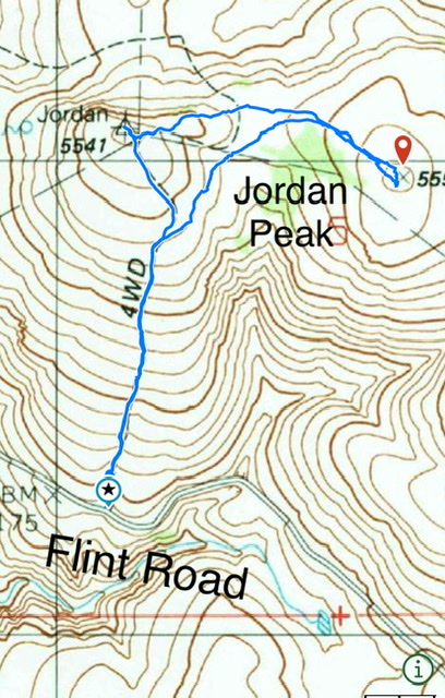
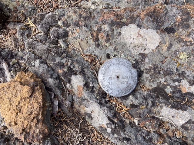
Peak 5555 is located southeast of Jordan Valley, Oregon. It has two summits of nearly equal height. The east summit is the high point. The west summit has a USGS benchmark dating from 1961. USGS Stonehouse Creek
Access
This peak is accessed from Flint Road, which is part of the Oreana/Jordon Valley Traverse. From Jordan Valley, Oregon, take Yturri Boulevard east out of town. This road quickly changes names, first to Trout Creek Road and then to Pleasant Valley Road. Follow the road south for 9.7 miles to a signed junction for Flint Road, which eventually leads to Oreana, Idaho. Follow this well-graded road for 2.9 miles. At this point, a seldom-used 4WD road leaves the road and heads north. Park here.
West Slopes, Class 2
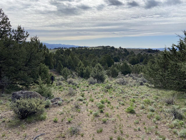
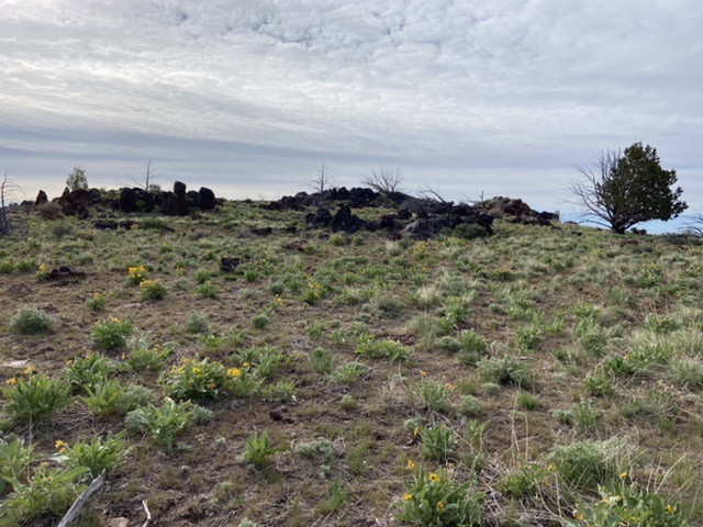
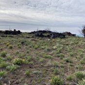
Hike up the 4WD road to the fence on the peak’s west summit. Pass through the gate and follow the road down to the saddle between the two summits. When the road ends, hike the grassy slopes to the summit. The summit rocks have one of the most extensive concentrations of marmot excrement that you will ever see.
The Jordan benchmark on the west summit is just west of the gate. You must crawl under or over the intervening fence if you want to experience the view that the surveyors enjoyed.
Additional Resources
Regions: Owyhee Mountains->SOUTHERN IDAHO
Mountain Range: Owyhee Mountains
Year Climbed: 2021
Longitude: -116.95519 Latitude: 42.93129
