Elevation: 5,631 ft
Prominence: 291
This peak is not in the book. Published June 2022
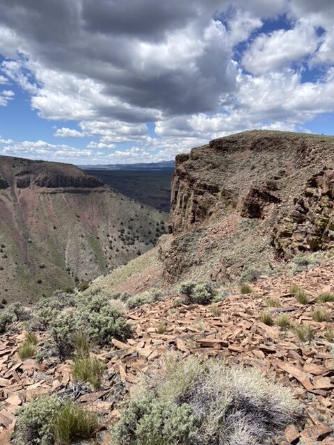
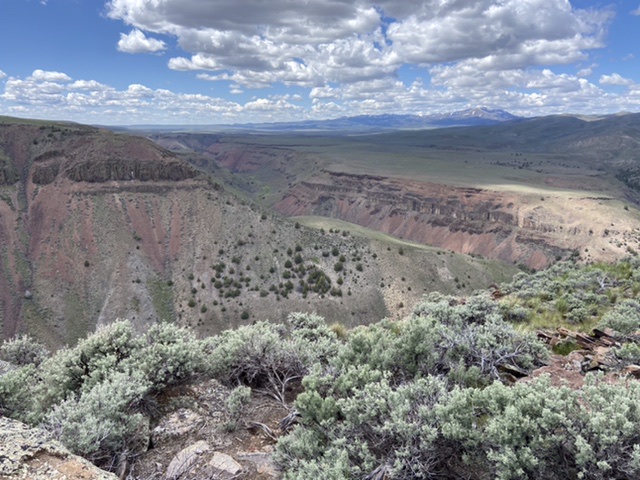
The Castle Keep towers over the confluence of White Creek and the North and South Forks of Castle Creek. The Castle Keep is the perfect place to survey these magnificent canyons. USGS Pixley Basin
Access
Primary access information for this peak and its surroundings is found at the following link: Castle Creek Area Access
A seldom-used 2-track road runs west from Castle Creek/Pixley Basin Road. Follow this road west to its end and park. There is a great camping spot below a granite outcrop.
South Ridge, Class 2
From the end of the road, a cow trail continues west to a fence line. Follow the east side of the fence line north to a rocky step. There is a convenient spot to cross the fence at this point. Cross the fence and continue on to the summit. This hike covers 1.1 miles with 177 feet of elevation gain round trip.
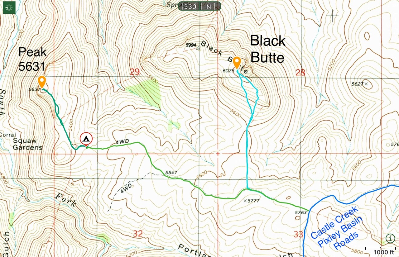
Black Butte and Peak 5631
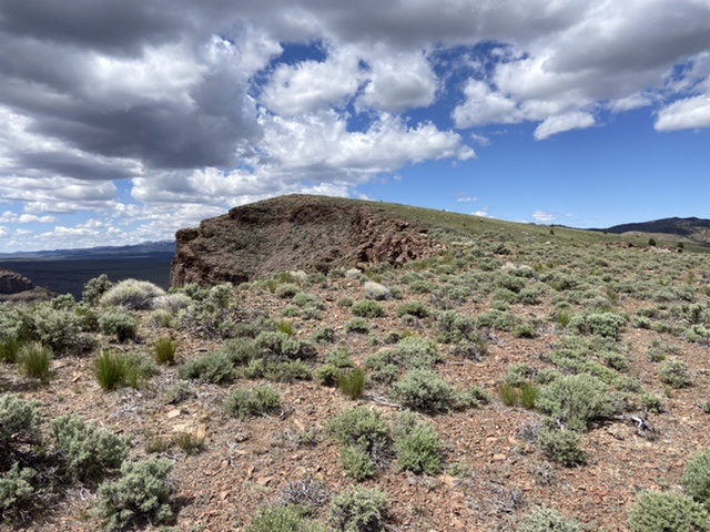
The summit of The Castle Keep as viewed from the south
The north and south forks of Castle Creek
Additional Resources
Regions: Owyhee Mountains->SOUTHERN IDAHO
Mountain Range: Owyhee Mountains
Year Climbed: 2022
Longitude: -116.49409 Latitude: 42.78509