Elevation: 5,660 ft
Prominence: 350
This peak is not in the book. Published May 2021
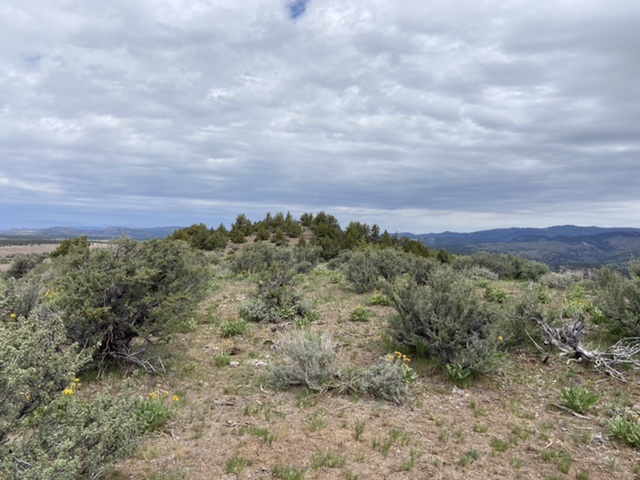
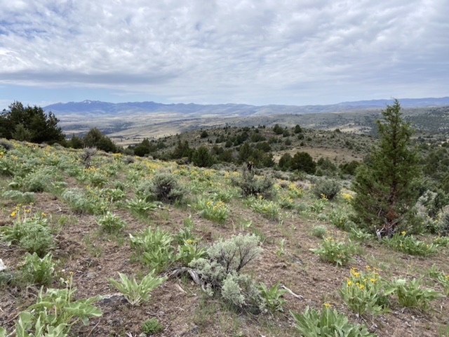
This isolated summit is located southeast of Jordan Valley, Oregon and east of Jordan Peak. It is the highest point on a long ridge that parallels the northern stretches of Jordan Creek. This juniper- and wildflower-covered ridge offers pleasant hiking. The upper reaches are dotted with many patches of stonecrop. There are remnants of a USGS survey station on the summit but no USGS benchmark. USGS Flint
The summit of Stonecrop Peak has remnants of a surveying station but no benchmark.
Access
This peak is accessed from the Flint Road which is part of the Oreana/Jordon Valley Traverse. From Jordan Valley, Oregon, take Yturri Boulevard east out of town. This road quickly changes names, first to Trout Creek Road and then to Pleasant Valley Road. Follow the road south for 9.7 miles to a signed junction for Flint Road which eventually leads to Oreana, Idaho. Follow this well-graded road for 9.5 miles. At this point, a 4WD road leaves the road and runs north. This road is passable for 4WDs but will test your driving skills in places.
South Ridge, Class 2
Follow the 4WD road north from the main road as far as you dare. Leave the road at the second “Star” shown on the map below. Hike up the gully on a cattle trail to the saddle above. From the saddle, hike northeast to the base of the peak’s south ridge. The intervening range fence had loose wires and was easy to cross. Hike up the broad south ridge to the first high point and then continue north to the summit. If you hike from the main road, the round trip is 4.4 miles with just under 900 feet of elevation gain.
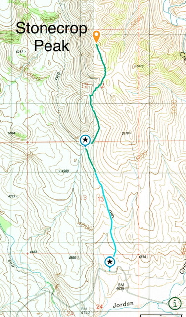
The blue line is the driving route. The green line is the hiking route.
Looking down the route. South Mountain is the big peak in the distance.
Additional Resources
Regions: Owyhee Mountains->SOUTHERN IDAHO
Mountain Range: Owyhee Mountains
Year Climbed: 2021
Longitude: -116.87509 Latitude: 42.91939