Elevation: 5,744 ft
Prominence: 394
This peak is not in the book. Published January 2023
Raft Narrows Peak West is one of two peaks of identical height that are located just south of The Narrows of the Raft River at the south end of the Jim Sage Mountains. This is the second leg of a 2-peak adventure that includes Raft Narrows Peak East (5,744 feet) and Raft Narrows Peak West (5,744 feet). The easiest access is from Standrod Road (1775 East Road) to the east. USGS Chokecherry Canyon
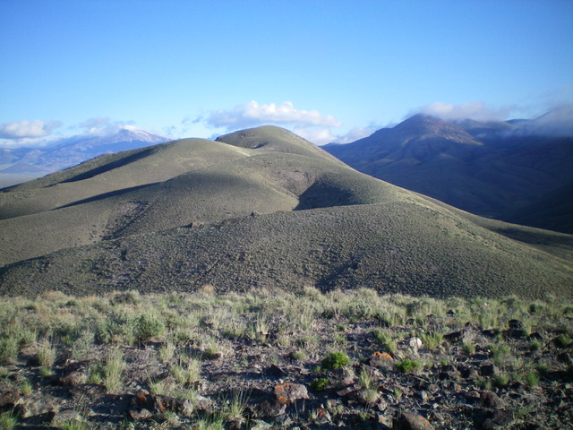
Raft Narrows Peak West and its undulating southeast ridge as viewed from Point 5505. Livingston Douglas Photo
Access
Same as for Raft Narrows Peak East. This is the final leg of a 2-peak journey.
Southeast Ridge, Class 2
The Climb
From the 5,350-foot connecting saddle with Raft Narrows Peak East, scramble west then southwest up an easy scrub slope (with some open, gravel and short grass sections) to reach the top of Point 5505. Descend north then northwest down a rounded ridge of sagebrush to reach a small saddle at 5,370 feet. From this saddle, follow the ridge crest northwest then north to the summit of Raft Narrows Peak West. There are a few minor ups and downs but the terrain is easy, short scrub and broken scree. Skirt the right/east side of a final ridge hump to reach the high point. Raft Narrows Peak West had a torn-down cairn so I rebuilt it.
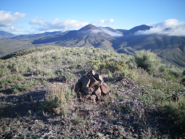
The summit cairn atop Raft Narrows Peak West. Livingston Douglas Photo
The Descent, Class 2
Return southeast to Point 5505 and descend east to Saddle #2 (5,350 feet). Follow a good cattle trail briefly southeast down a dry gully then angle east to intercept the power lines service road on easy sagebrush and scrub. Follow the power lines service road east then northeast back to Standrod Road and your parked vehicle.
Additional Resources
Regions: Albion Range->Jim Sage Mountains->SOUTHERN IDAHO
Mountain Range: Albion Range
Longitude: -113.47819 Latitude: 42.05351