Elevation: 5,820 ft
Prominence: 280
This peak is not in the book. Additional Danskin Mountains access information can be found in the book [(D)(1) on Pages 154-5 and (G)(1) on Page 156]. Also see the following website page: Danskin Mountains OHV Trails. Published May 2018
This peak is located due south of Danskin Peak. Erik Pohlmann climbed the peak as part of 32.2-mile Danskin mountain bike tour. Erik’s route information is set out below. USGS Danskin Peak
Access
Access this peak from Mountain Home [(D)(1) on Pages 154-155].
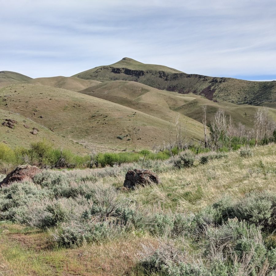
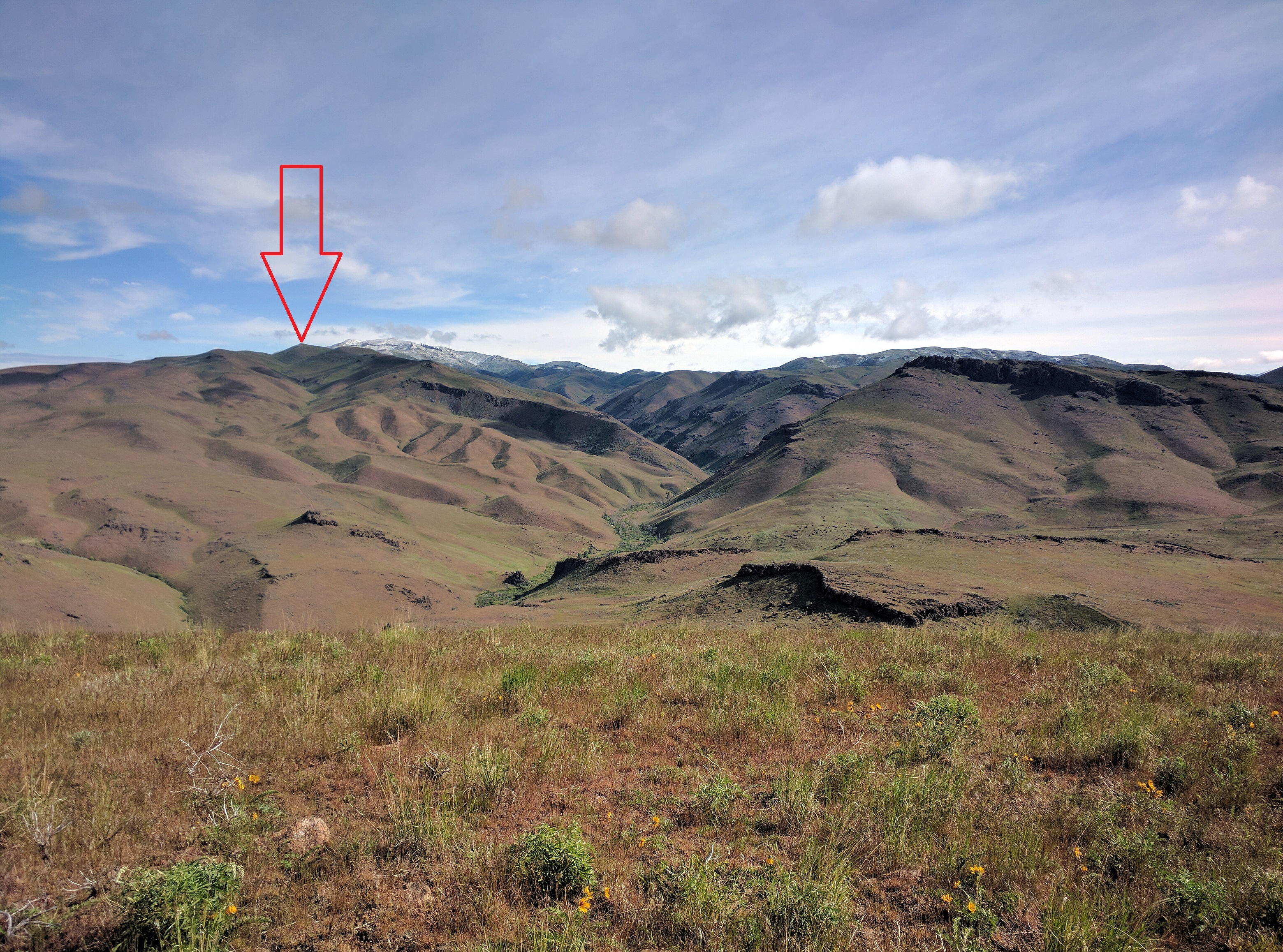
Syrup Crown Peak as viewed from Syrup Creek. Note that the high point is not visible in this photo. Erik Pohlmann Photo
Syrup Crown Peak Traverse by Erik Pohlmann
Although this peak isn’t particularly interesting or spectacular, similar to Danskin Peak, it is relatively high and very centrally-located between the northern and southern portions of the range. Therefore, it provides a great 360-degree vantage point for viewing both the northern and southern portions simultaneously. The northern and southern portions are quite different from each other, so it’s interesting to view them at the same time.
West Route
Just before reaching Crown Creek, look for the faint jeep road which crosses Crown Creek, heads up to Point 5598, and eventually terminates just north of the Syrup Crown Peak summit at which point you simply continue cross-country. Note: I’ve never mountain biked up this route but suspect it would require some hike-a-bike since it’s probably too steep to pedal.
South Route
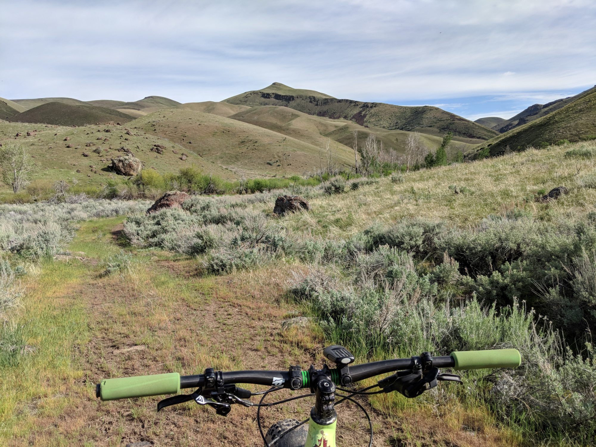
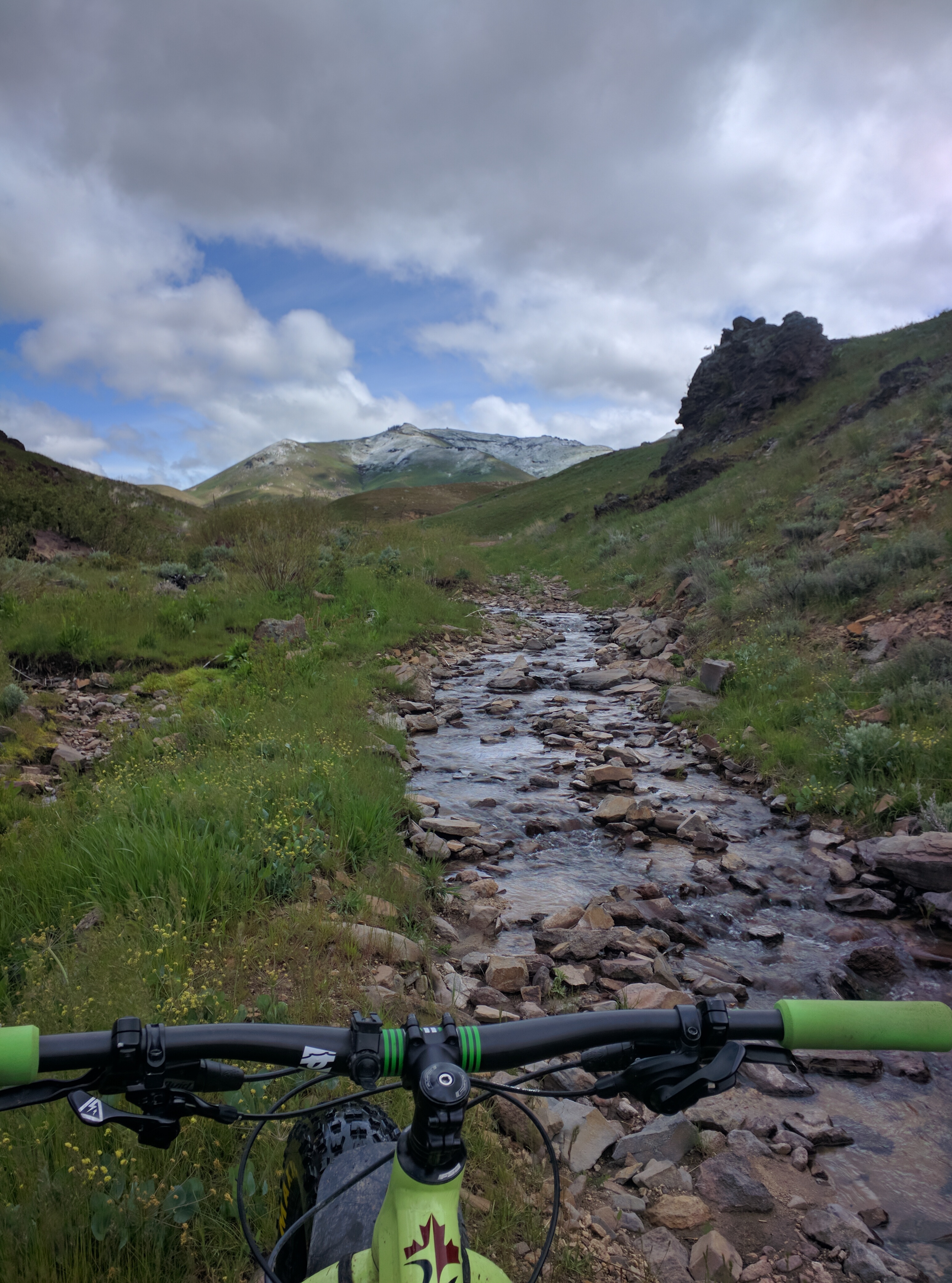
This route uses well-traveled and easy-to-follow trails. Continue following the Jeffrey-Goodale Cutoff down Crown Creek and eventually to Benchmark 4653, then follow the obvious jeep road north up the South Ridge to just south of the Syrup Crown Peak summit at which point you simply continue on cross-country. This route is unique and interesting in that it simply follows the creek bottom which is submerged during gurgling Spring runoff. It is quite enjoyable as the shallow creek bottom is comprised of large flat rocks providing good traction for wet shoe hiking or riding a mountain bike. I’ve ridden this route both directions on my mountain bike. The ascent is a bit too steep for pedaling and requires a good amount of hike-a-bike.Traveling through Crown Creek.
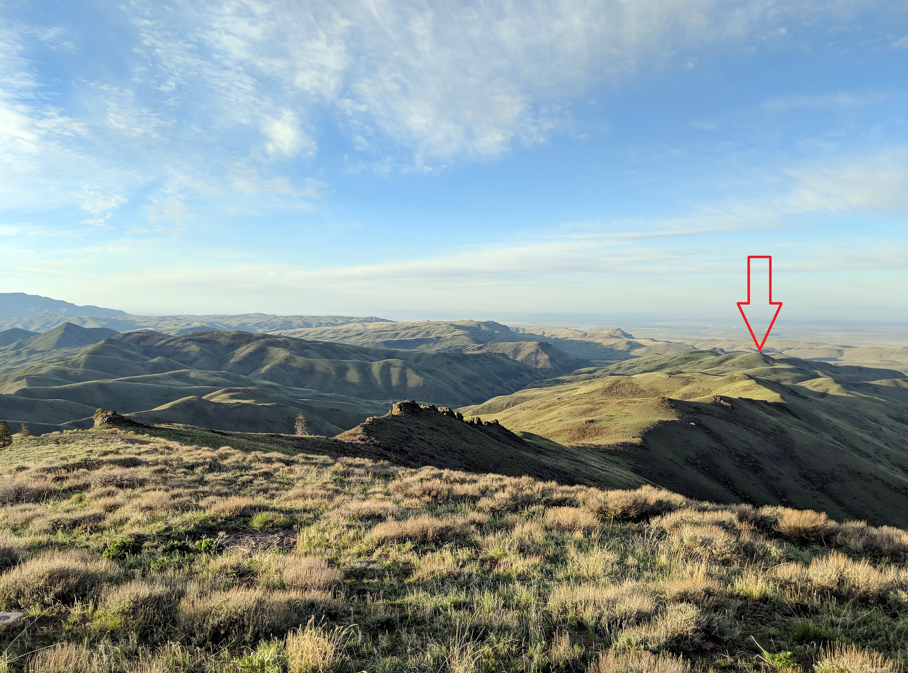
Syrup Crown Peak as viewed from Danskin Peak. Erik Pohlmann Photo
Syrup Crown Peak as viewed from Dixie Gulch Peak. Erik Pohlmann Photo
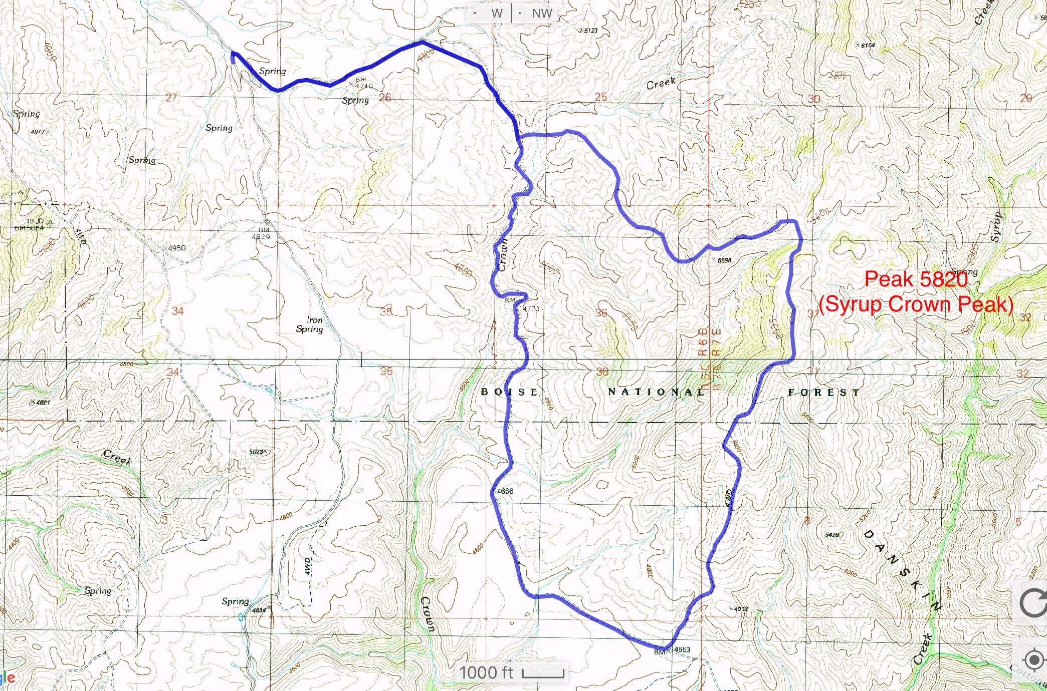
Erik’s GPS track.
Additional Resources
Regions: Boise Mountains->Danskin Mountains->WESTERN IDAHO
Mountain Range: Boise Mountains
Longitude: -115.66939 Latitude: 43.37759