Elevation: 6,041 ft
Prominence: 381
This peak is not in the book. Published December 2019
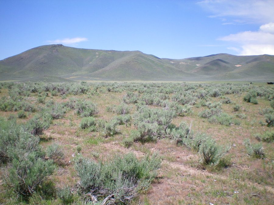
Peak 6041 is a rocky outcrop on a long ridge located on the east side of Long Canyon. It has a survey marker/post on its summit and a decent summit cairn. It towers over Fish Creek Road to its east. USGS Fish Creek Reservoir
Peak 6041 as viewed from Fish Creek Road. The summit is the rocky outcrop well left of center. The long north ridge is the skyline. The east shoulder (descent route) is in dead center. Livingston Douglas Photo
North Ridge, Class 2
Access
Same as for Peak 6190. This route is the final leg of a ridge traverse from Peak 6190 to Peak 6041.
The Climb
From the connecting saddle between Peak 6190 and Peak 6041 (near Point 5731), follow the ridge south on easy, open scrub to reach the rocky summit of Peak 6041. There is some type of survey marker/post on the summit and a decent summit cairn.
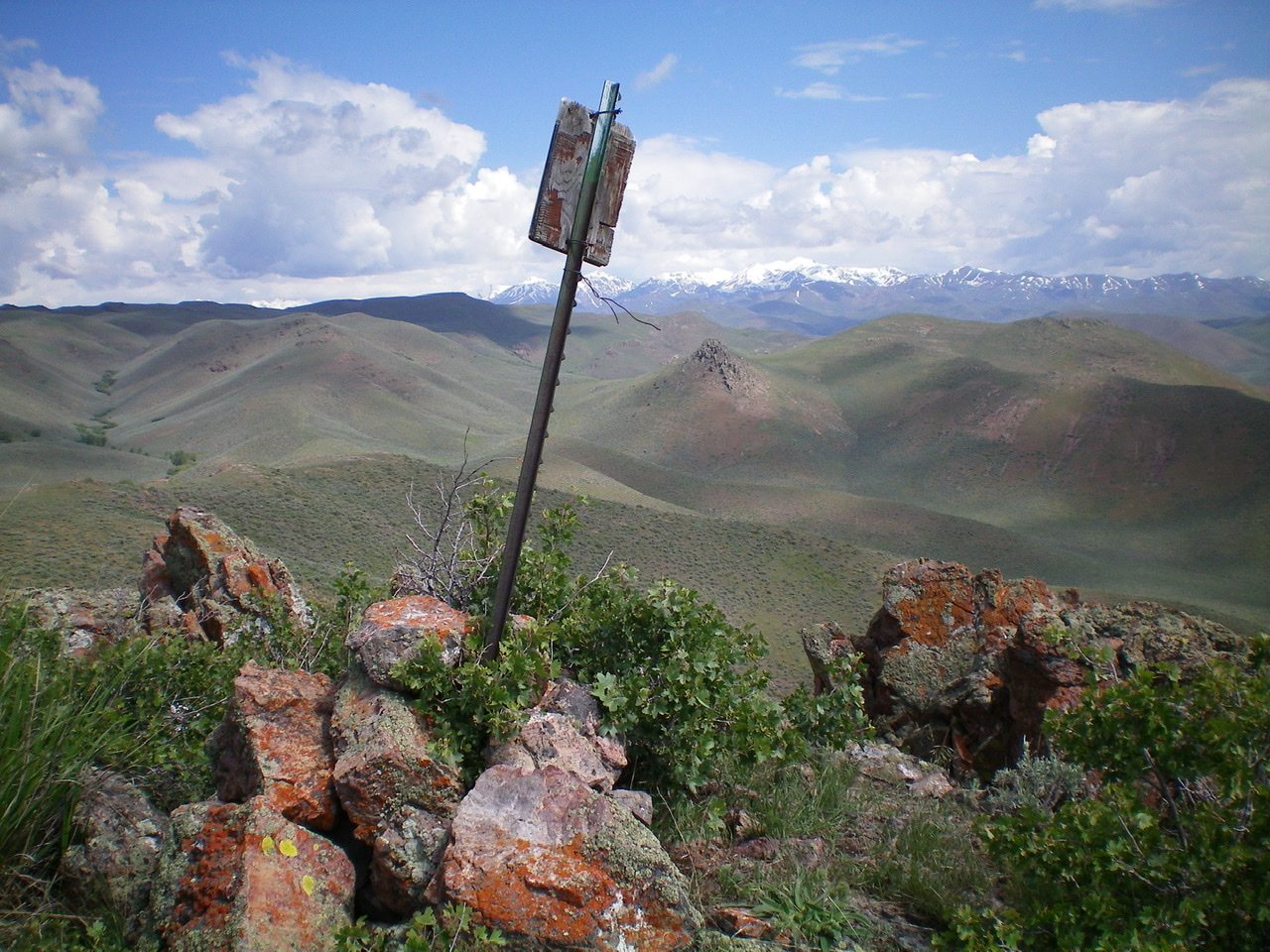
The summit cairn and survey marker atop Peak 6041. Livingston Douglas Photo
North Ridge/East Shoulder, Class 2
Access
Same as for the north ridge. This route is the final leg of a loop route that begins and ends along Fish Creek Road.
The Descent
From the rocky summit, follow the north ridge for about 0.3 mile to the head of the east shoulder. Descend the shoulder east then northeast to reach the valley floor. The final section is a steep descent through sagebrush. A nearby cattle fence helps here. The valley floor is easy, short grass and goes quickly. Head northeast to intercept the “Gulch Road” (an old 2-track jeep road) near the base of the southeast ridge of Peak 6190. Hike east along this road for 0.2 miles to an unsigned junction. Go right/southeast here and walk 0.4 miles along a 2-track road to reach Fish Creek Road and your parked vehicle.
Additional Resources
Regions: EASTERN IDAHO->Pioneer Mountains
Mountain Range: Pioneer Mountains
Longitude: -113.84889 Latitude: 43.39169