Elevation: 6,180 ft
Prominence: 280
This peak is not in the book. Published November 2022
Peak 6180 is the high point of a ridge that separates Square Mountain from Moonstone Mountain in the Smoky Mountains south of Richardson Summit. This area is a mix of private and public land, so be careful. This hike is entirely on public land. USGS Richardson Summit
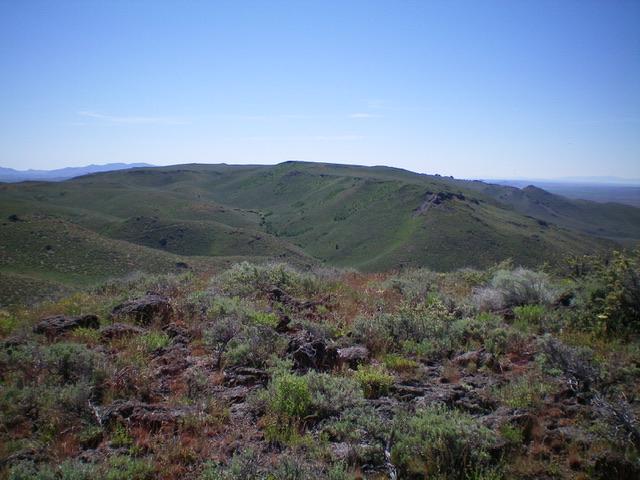
Peak 6180 (ridgeline bump in dead center) as viewed from Square Mountain to its northwest. Livingston Douglas Photo
Access
Same as for Square Mountain. This is the second leg of a 2-peak adventure that includes Square Mountain (6,104 feet) and Peak 6180.
The Approach, Class 2
From the flat, saddle-like area on the east side of Point 6000+ (just north of Square Mountain), bushwhack east across endless sagebrush and cross a few gullies to reach a north-south 2-track road that is shown on the USGS topo map. This 2-track is your ticket to the top of Peak 6180. It is best to angle north or northeast to avoid the worst of the multiple gully crossings and cross only one major gully to reach the road. This cross-country trek measures at only a mile on the USGS topo map but it feels much longer than that. So be patient and keep working your way east toward that critical 2-track road.
North Gully, Class 1
The Climb
Once on the 2-track road, follow it south as it weaves a bit, drops to Point 5836, and then turns left/east to follow the north gully to the summit. The road becomes a pretty weak 2-track at this point. It soon bends right/south to make the final climb to the top. Ignore any [weaker] side roads. Stick to this road and the topography that it follows. The summit of Peak 6180 has a minimal, torn-down cairn atop it.
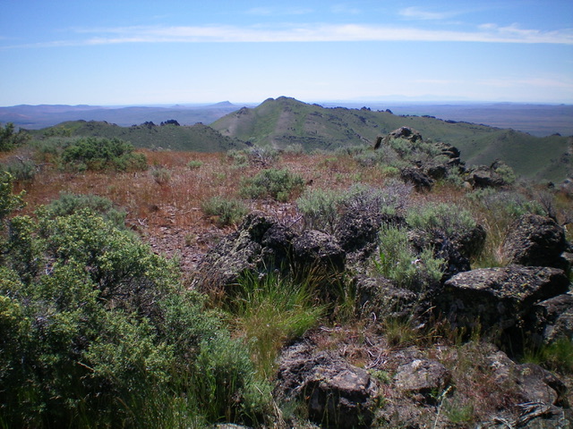
Summit view from Peak 6180. Moonstone Mountain (6,144 feet) is in the distance (dead center). Livingston Douglas Photo
Additional Resources
Regions: Smoky Mountains->WESTERN IDAHO
Mountain Range: Smoky Mountains
Longitude: -114.47909 Latitude: 43.37849