Elevation: 6,342 ft
Prominence: 442
This peak is not in the book. Published January 2023
Peak 6342 is an imposing, pyramidal hump that is located on the south side of Cassia Creek, just outside Elba. The easiest access is via Ottley Road (2055S Road) to its north. However, this area is a mix of private and public land but you can remain on BLM land the entire way if you consult a land management map. Private ranch land blocks access to the easy northeast ridge. This is the second leg of a 2-peak adventure that includes Peak 6342 and Peak 6540 to its west. The climb covers 4.0 miles and 1,700 feet of elevation gain round trip. USGS Elba
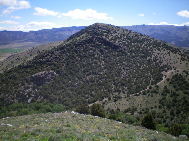
Peak 6342 as viewed from the west. Livingston Douglas Photo
Access
Same as for Peak 6540. This is the final leg of a 2-peak adventure.
Southwest Face, Class 2
The Climb
From the Cross Creek drainage that separates Peak 6342 and Peak 6540, hike a short distance up the 2-track road to where it fords [imposing] Cross Creek. Bushwhack upstream to find a braided section of the creek and cross to the east side of the creek on fallen logs. This drainage is thick with aspens and dense brush, so it is not an easy task. Once on the east side of Cross Creek, get back on the 2-track road and follow it for a short distance uphill. Leave the road and scramble east then northeast up a semi-open grassy slope with scattered junipers and a base of scree to reach the nicely-cairned, open summit of Peak 6342.
The Descent
Return back to the 2-track road in the Cross Creek drainage and follow it north then northwest back down to the cattle gate and your parked vehicle.
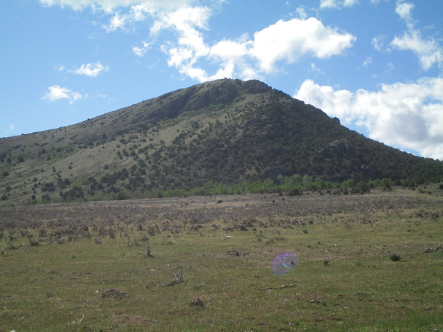
Peak 6342 as viewed from the base of the jeep road at Ottley Road to its northwest. Livingston Douglas Photo
Additional Resources
Regions: Albion Range->SOUTHERN IDAHO
Mountain Range: Albion Range
Longitude: -113.6164 Latitude: 42.2231