Elevation: 6,419 ft
Prominence: 549
This peak is not in the book. Published November 2023
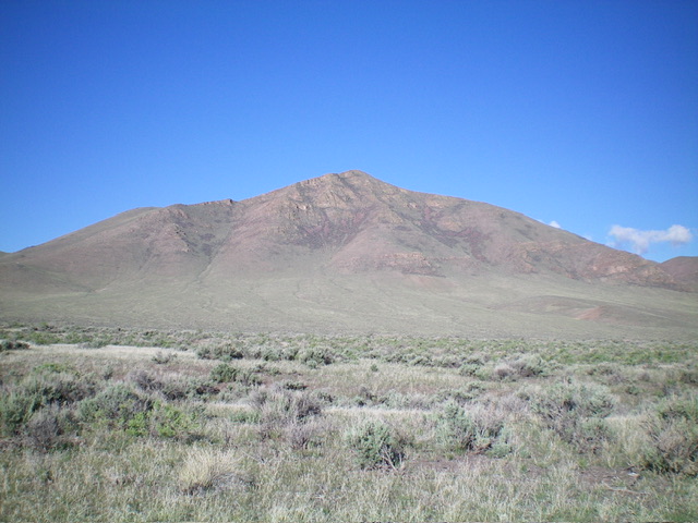
Peak 6419 is one of a pair of sagebrush hills located on the west side of Custer Road in the northern section of the Pahsimeroi Range. This peak has much more rock mixed in than its neighbor Peak 6378. Peak 6419 is quite rugged when viewed from Custer Road to its northeast. USGS May
Peak 6419 and its rugged east face. Livingston Douglas Photo
Access
Same as for Peak 6378. This is the second leg of a 2-peak adventure that includes Peak 6378 and Peak 6419. It covers 5.0 miles with 1,825 feet of elevation gain round trip. It begins along Custer Road in the northern section of the Pahsimeroi Range.
South Face/West Ridge, Class 2
The Climb
From the 6,010-foot connecting ridge with Peak 6378, scramble north up an easy grassy shoulder to approach the cliff band of the south face. Head right/east through an obvious break in the cliff band on a game trail. Once past the cliff band, scramble left/north up through a mix of boulders/talus and sagebrush to quickly reach the west ridge. Bushwhack right/east up the ridge crest of rock-and-sagebrush to reach the well-cairned high point of Peak 6419.
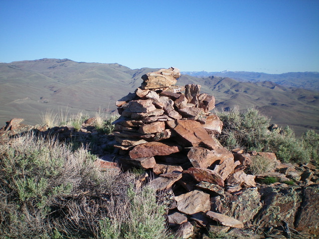
The large summit cairn atop Peak 6419. Livingston Douglas Photo
Southeast Ridge/East Gully, Class 2
The Descent
From the summit, descend southeast down a ridge that is a tedious mix of ridge outcrops/strata/ledges and sagebrush to reach less-rocky sagebrush terrain lower down. The ridge forks at about 6,000 feet. Go left/east for the east spur (a better route) or head right/south to drop into the dry east gully (as I did). Once in the east gully, follow it (with on-and-off help from a game trail) as it wiggles around to find its way to the mouth of the gully and an open field of sagebrush. The gully is not thick with brush and goes pretty quickly. Once at the mouth of the gully, head northeast down through easy, open grass/sagebrush to intercept the 2-track road then follow it left/north back to the road junction and your parked vehicle.
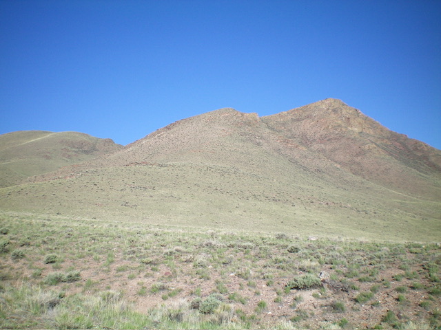
Peak 6419 and its southeast ridge (dead center), my descent route. The summit is right of center. Livingston Douglas Photo
Additional Resources
Regions: EASTERN IDAHO->Lost River Range->Pahsimeroi Range
Mountain Range: Lost River Range
Longitude: -113.9773 Latitude: 44.5683