Elevation: 6,492 ft
Prominence: 552
This peak is not in the book. Published December 2019
Peak 6492 sits at the head of Kent Canyon and towers over Croy Creek to the north. Its northwest face is quite steep. Much of this area is private land so be careful. Consult the BLM Fairfield map before venturing here and watch out for rattlesnakes and copperheads. The easiest ascent route is via a jeep road that comes up from Croy Creek Road to a saddle just southwest of the summit. A short scramble leads to the top. USGS Richardson Summit
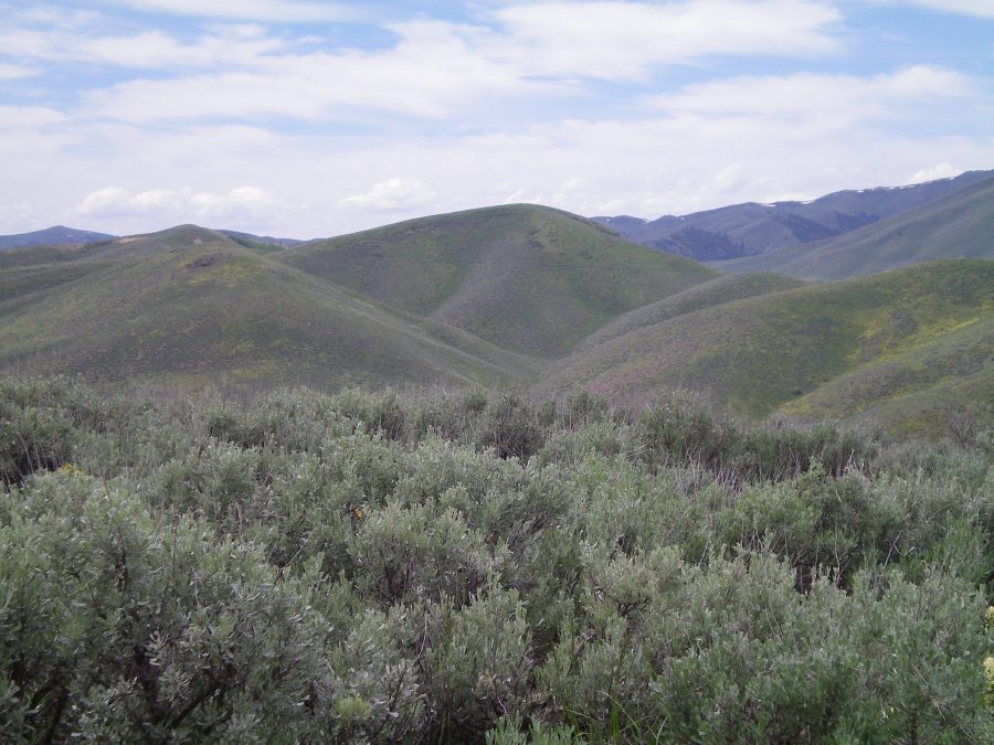
Peak 6492 (dead center) and its northeast ridge (rolling hills on right side) as seen from the summit of Gilman Hill. Livingston Douglas Photo
Northeast Ridge, Class 2
Access
Same as for the east face of Gilman Hill. This route is the final leg of a ridge traverse from Gilman Hill to Peak 6492.
The Climb
From just below (and south of) Saddle 5608, bushwhack west through sagebrush and some open grassy areas to reach a shoulder. Follow the shoulder right/north to reach Point 6164 on the northeast ridge of Peak 6492. Pick up a fence row here and follow it along the undulating, sagebrush-covered ridge crest to reach a final saddle (Saddle 6176). Leave the fence row here and work your way up a final slope of sagebrush to reach the summit. The small summit area is a mix of sagebrush and loose talus. It has a modest cairn and a TV roof antenna (no kidding) nearby. The summit and upper ridge offer outstanding views of Red Elephant Gulch and the southeast ridge of Peak 7536 to the north.

The summit cairn atop Peak 6492. Livingston Douglas Photo
Additional Resources
Regions: Smoky Mountains->WESTERN IDAHO
Mountain Range: Smoky Mountains
Longitude: -114.41901 Latitude: 43.45529