Elevation: 6,597 ft
Prominence: 312
This peak is not in the book. Published December 2020
Peak 6597 is a volcanic uplift and qualifies as a ranked summit. It has two summits. The east summit is the measured summit and is the true summit. The west summit, which has a large cairn, is slightly lower. This hike is entirely on BLM land. USGS Idmon
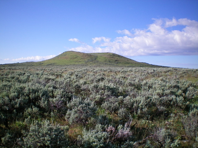
Peak 6597 as viewed from the north. Of the two summit humps, the left/east one is highest. Livingston Douglas Photo
Access
From Exit 167/Dubois on I-15, drive east on Main Street to the east end of Dubois, ID and a signed junction with the Dubois-Kilgore Road (signed for Kilgore and Yellowstone). Go left/north onto the Dubois-Kilgore Road and reset your odometer. At 16.3 miles, reach an unsigned junction with a 2-track jeep road that is on both sides of the paved road here. Park here (6,430 feet) for a hike of Peak 6597 or Morgan Crater (6,565 feet).
North Face, Class 2
The Climb
Hike about 0.3 miles southeast on a 2-track jeep road that is overgrown with grass and sagebrush. Leave the road to do a cross-country bushwhack south across sagebrush to reach the base of the uplift that is Peak 6597. At times, the sagebrush is thick and tedious. At other times, the sagebrush is short, gapped, and easy to move through. Once at the base of the uplift, head south up through more sagebrush with some embedded talus to reach the east summit of Peak 6597 (the measured summit). The east summit is on a narrow, clogged ridge crest that is a mix of volcanic rock/boulders and brush. Traverse a minor ridge west to reach the west summit, which is in open terrain and has a nice cairn atop it. The two potential summits are very close in height, but it appears that the east summit is slightly higher. That is where the USGS topo map places the “6597” so it probably is the high point.
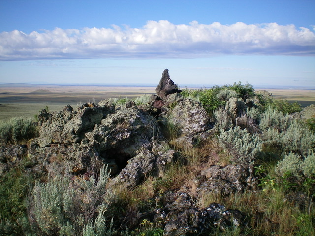
The summit of Peak 6597. Livingston Douglas Photo
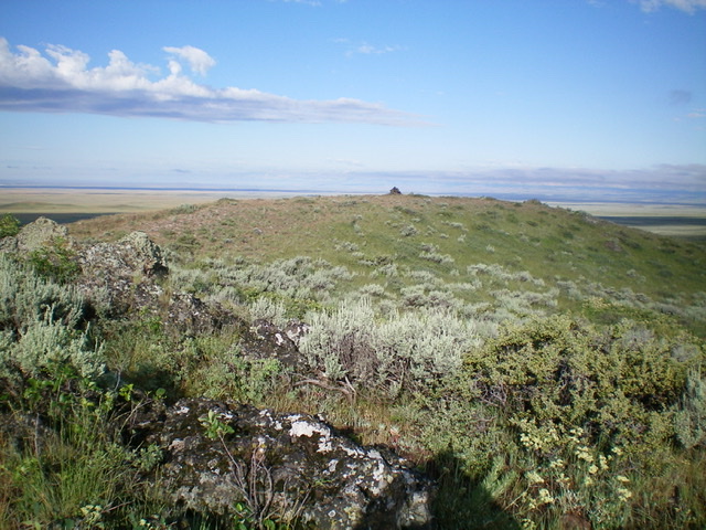
Looking west at the cairned west summit of Peak 6597 from the true/east summit. Livingston Douglas Photo
Additional Resources