Elevation: 6,700 ft
Prominence: 320
This peak is not in the book. Published November 2020
Peak 6700 is located due west of Chimney Benchmark (7,162 feet). It sits above Salix Creek and has an intimidating southwest face. It is seldom climbed. This is the first leg of a 3-peak adventure that includes Peak 6700, Chimney Benchmark, and Peak 6641. This summit is located on State of Idaho land. However, your route will likely cross private land which has public access under the Idaho Fish and Game Department’s Accession Yes Program. USGS Deer Mountain
Chimney Benchmark (left) and Peak 6700 (right) in the distance as viewed from the summit of Peak 6641. Livingston Douglas Photo
Access
From US-20 at the east end of Hill City, turn north onto [signed] 1300W. Drive 2.7 miles north on 1300W to a signed “T” junction with Harrison Road. Turn left/west onto Harrison Road and drive 2.1 miles to an unsigned junction with Cow Creek Road. Turn right/northwest onto Cow Creek Road and reset your odometer. At 2.6 miles, reach the Sawtooth National Forest boundary. At 2.8 miles, reach a forested campsite and a sharp right bend in the road. Park/camp here (5,729 feet). GPS coordinates: 43⁰22’22”N, 115⁰07’19”W. You can drive another 0.6 miles farther up Cow Creek Road to the second unsigned junction with Salix Creek Road to save some mileage for this hike.
Southwest Face, Class 2
The Climb
From the campsite along Cow Creek Road, hike (or drive) 0.6 miles up Cow Creek Road to the second unsigned junction with Salix Creek Road. Leave Cow Creek Road and hike northeast then east down Salix Creek Road (a weak 2-track) as it descends to a meadow and an unsigned junction. The 2-track road heads north from here for just under ½ mile to reach Salix Creek (which is part of the descent route). Leave the road at this junction and bushwhack east up a thick sagebrush face to a saddle with an old 2-track in it.
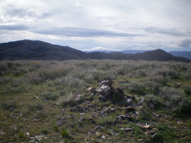
From the saddle, either descend northeast to the drainage or continue east on the ridge and angle into the drainage (as I did). Cross the dry drainage and scramble northeast directly up the steep, thick sagebrush slope to reach the summit crest at its left/northwest end. Scramble right/southeast for a short distance to reach the cairned high point of Peak 6700. The southwest face is steep and intimidating but it goes reasonably well. It is the steepest route on the mountain but is the most direct route from Cow Creek Road.
East Ridge, Class 2
The Descent
From the summit, descend west over two minor ridge humps (more sagebrush) then skirt the right/south side of a point after crossing a saddle. Aim to intersect a jeep road coming up from the right/south up a drainage. Angle left/northeast to intersect that road at a junction. Stay just right of a patch of aspens (stay in the open sagebrush) to quickly reach the road junction. Head northeast then north up the road to a saddle area and a road junction. This concludes the first leg of today’s 3-peak journey. Chimney Benchmark is up next.
Additional Resources
Regions: Soldier Mountains->WESTERN IDAHO
Mountain Range: Soldier Mountains
Longitude: -115.09569 Latitude: 43.38439