Elevation: 6,820 ft
Prominence: 280
This peak is not in the book. Published May 2018
Peak 6820 is located north of Slacks Mountain midway between Slacks and Black Mountain on a big sweeping ridge. The highest point of this peak sits just west of the Black Mountain Road. In reality there are four points which could be the highest point. Three of the four are rock towers and the fourth is a rounded hill top. I ascended three of the four and, although not absolutely positive, I believe the highest point is the southeastern-most outcrop. USGS Silver City
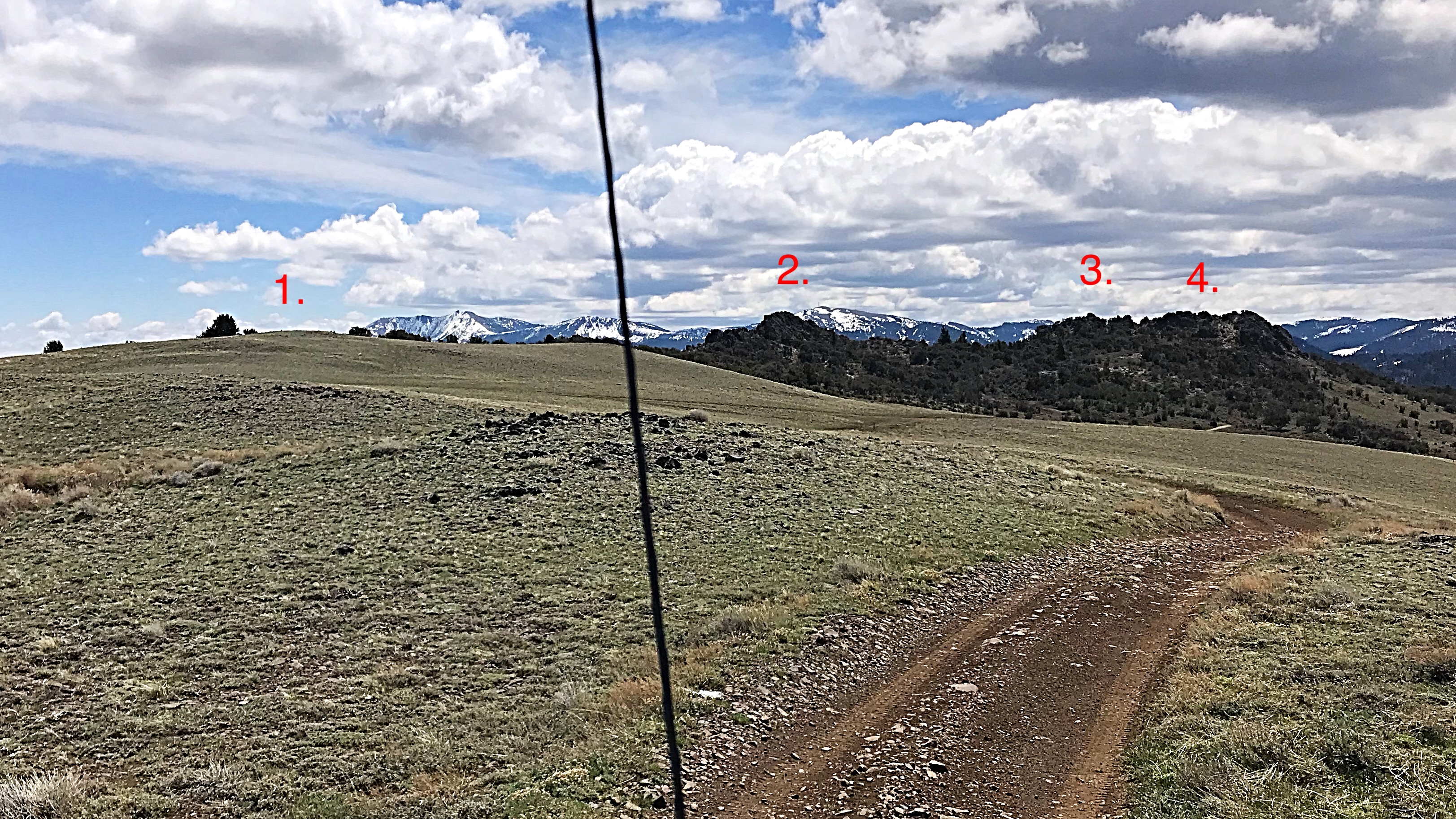
A windshield view of Peak 6820’s four high points. Each has the same final contour. And the winner is #3.
Access
This peak can be accessed from either the Slacks Mountain Road or the Black Mountain Road. Both roads require a 4WD vehicle and tough tires as well as dry conditions. The Black Mountain Road leaves the Slacks Mountain Road at Slacks Corner, which is an unsigned intersection roughly 10.0 miles from the road’s start. It is another 3.0 miles to the western slopes of Peak 6820 from the intersection. The first mile is deeply rutted and difficult. Note that the the Black Mountain Road can be accessed from two other locations along the Slacks Mountain Road. I have not driven these routes (which are on the USGS quad), so I cannot comment on them.
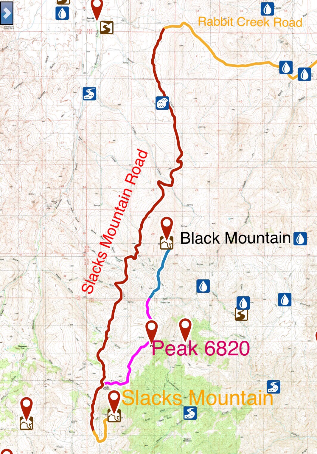
The Black Mountain Road from Slacks Corner to Peak 6820 is shown in pink on this map. 4WD, excellent all terrain tires, skid plates and off-road driving skills are all needed to safely drive this road.
West Slopes, Class 3
The road crosses the West Face only 150 vertical feet below the summit. From the road, climb up to the summit ridge just north of the two southern summit towers. The route is brushy at first but then mostly open as it moves into a grove of mountain mahogany. At the base of the towers, move left to the base of the southeastern tower. A short but steep 15-foot climb gets you to the top.
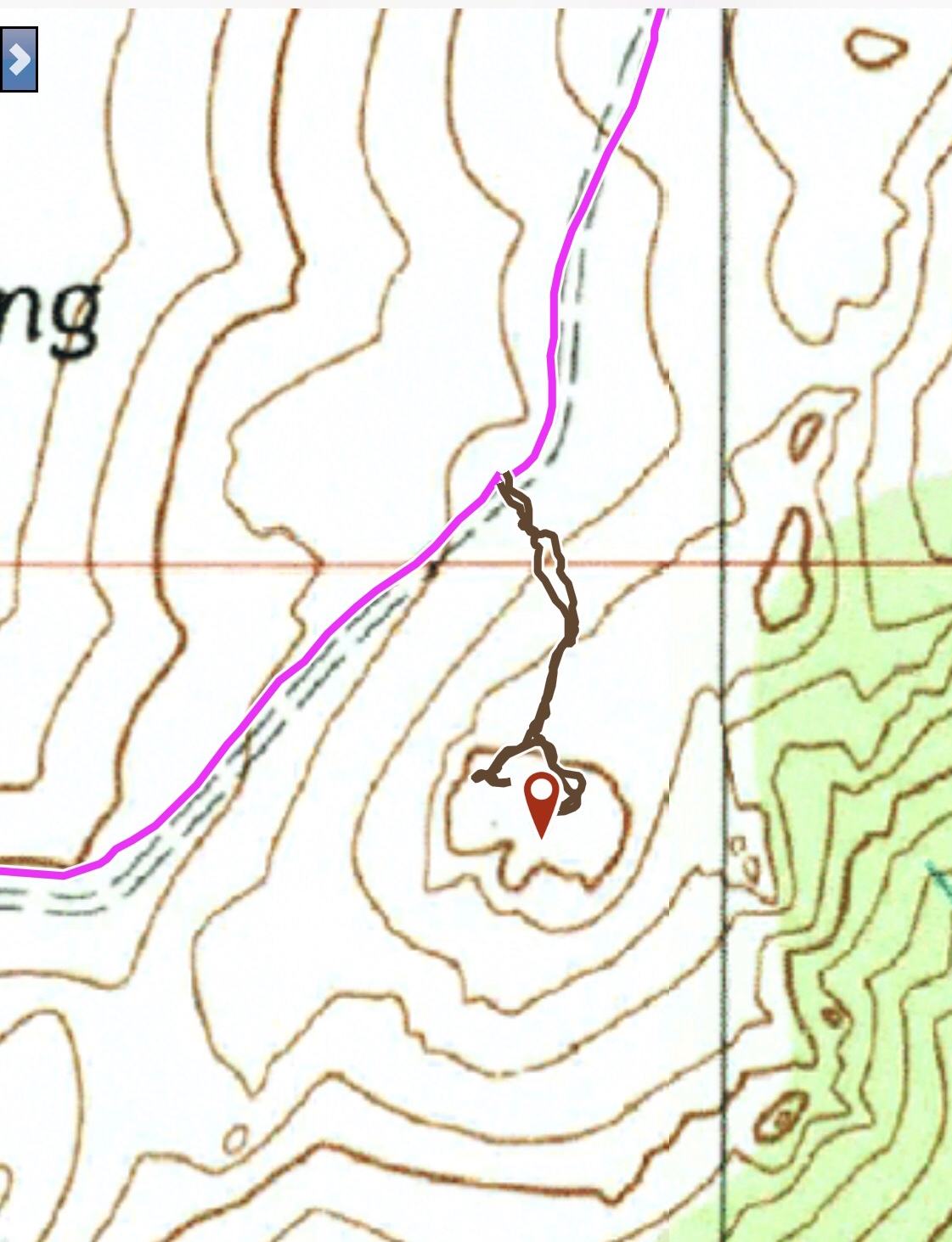
My GPS track to the top of the two southern towers.
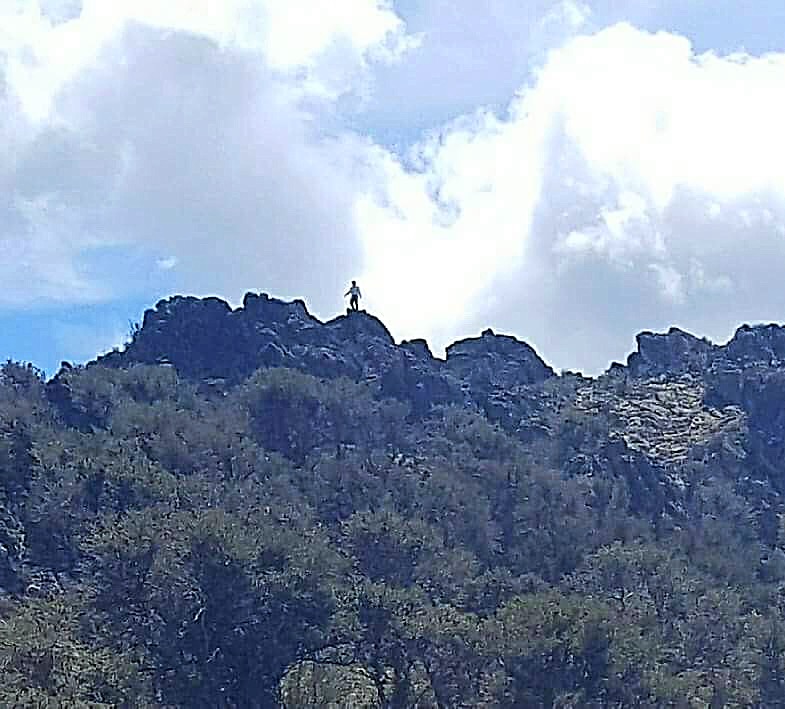
On top of the southwestern-most tower. A long drive for a ten-minute climb!
Additional Resources
Regions: Owyhee Mountains->Silver City Range->SOUTHERN IDAHO
Mountain Range: Owyhee Mountains
Year Climbed: 2018
Longitude: -116.71969 Latitude: 43.09559