Elevation: 6,842 ft
Prominence: 422
This peak is not in the book. Published November 2020
Peak 6842 is located at the southwest end of a high ridgeline that towers above Hay Canyon to the west. Peak 6890 is positioned at the northeast end of that same ridgeline. Climb both peaks together via a loop route that begins and ends on BLM-622 at an open meadow with a large cattle cistern. This is the second leg of a two-peak adventure. USGS Badger Hole Spring
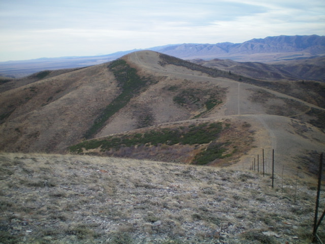
Peak 6842 as viewed from Point 6836 to the northeast. Livingston Douglas Photo
Access
Same as for Peak 6890. This is the final leg of a two-peak trek that begins from BLM-622 down near the Holbrook-Black Pine Road.
Northeast Ridge, Class 2
The Climb
From the 6,420-foot connecting saddle with Peak 6890, follow the remnants (sometimes none) of a 2-track road on the right/east side of a fence row southwest then south as it climbs up to the summit of Peak 6842. The terrain is easy, short grass and broken rock. I rebuilt the torn-down summit cairn.
South Ridge/Southeast Spur, Class 2
The Descent
The objective now is to descend southeast to a prominent gully and cross east over an intervening ridge to get back to BLM-622 and your parked vehicle. Get a good look at the topography from the summit and look for the easiest way to cross that intervening ridge (at a saddle to the south). From the summit, descend the south ridge on a decent 2-track jeep road to a ridge hump (Point 6600+). Leave the south ridge here and descend southeast on an obvious shoulder. This shoulder ends in a prominent north-south gully. The final descent to the gully is moderately thick with sagebrush. The gully is dry and has an old 2-track road in it (not shown on maps). It is now mostly used by cattle.
Follow this old road south for about a mile. Leave the gully and bushwhack left/east up a side gully to a flat, “saddle-like” ridge crest area on the intervening shoulder. This area is covered with brush and sage and requires some weaving. Angle southeast from the top of this wide shoulder and cross a second, minor gully. There are numerous cattle trails in this area to help expedite this part of the bushwhack back to the road. Angle southeast across a final, minor shoulder to reach BLM-622. Walk a short distance right/south on BLM-622 to reach the meadow and your parked vehicle.
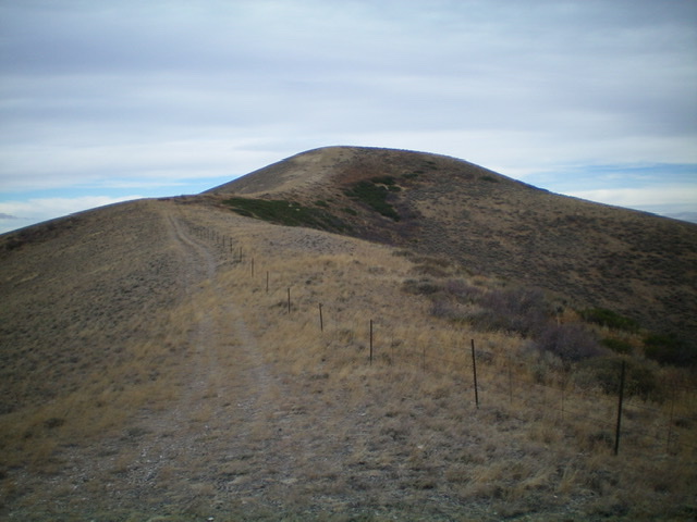
Peak 6842 as viewed from high on the south ridge. Livingston Douglas Photo
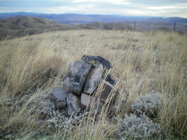
The summit cairn atop Peak 6842. Livingston Douglas Photo
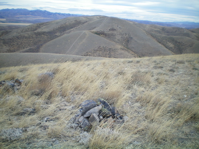
The summit area of Peak 6842, looking northeast toward Point 6836 and Peak 6890. Livingston Douglas Photo
Additional Resources
Regions: SOUTHERN IDAHO->Sublett Range
Mountain Range: Sublett Range
Longitude: -122.84819 Latitude: 42.20549