Elevation: 6,860 ft
Prominence: 560
This peak is not in the book. Published April 2020
This peak is located between Gallagher Peak and Scott Peak. Forest Service maps shows FST-029 traversing over the peak’s long summit ridge. USGS Lightning Ridge
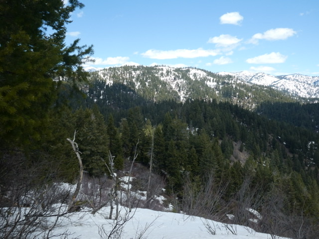
Peak 6860 as viewed from Gallagher Peak.
Access
There is no short access route to this peak. The summit can be reached from Gallagher Peak by traversing the connecting ridge line. FST-029, which crosses the summit ridge, runs between a rugged 4WD road system (FS-613) in the Danskin Creek drainage west of the peak and the Scott Mountain Road to the north. The route from FS-613 is potentially the shortest route to the summit. Check with the Forest Service on road conditions before trying this approach. The approach from the Scott Mountain Road starts 600 feet higher than this peak and will involve significant ups and downs in both directions.
Additional Resources
Regions: Central Salmon River Mountains->Log Mountain - Deadwood Divide Peaks->Salmon River Mountains->WESTERN IDAHO
Mountain Range: Central Salmon River Mountains
Longitude: -115.77649 Latitude: 44.13269