Elevation: 7,174 ft
Prominence: 1,594
This peak is not in the book.I climbed Livingston’s route and added my GPS track and a few comments below. This peak is the best reached from Peak 7158. Updated June 2022
Peak 7174 sits at the head of Lees Gulch. It is the highest of the many ridge humps in this area. The easiest ascent is via the southeast ridge and Lees Gulch Road. This area is a patchwork of private and public land so be careful. Consult the BLM Fairfield map to stay out of trouble. Contact the Fairfield BLM office for a current access update. USGS Bellevue
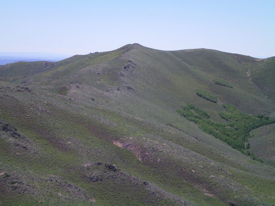
Peak 7174 as viewed from the west summit of Peak 7158. The north ridge of Peak 7174 is in the middle of the photo. The ridge traverse between Peak 7158 and Peak 7174 is relatively easy. Livingston Douglas Photo
North Ridge, Class 2
Access
Same as for the north spur/west ridge of Peak 7158. This route is the final leg of a ridge traverse from Peak 7158 to Peak 7174.
The Climb
From the 6,820-foot connecting saddle, scramble south over a ridge hump and down to a final saddle. Continue south to reach the gentle east summit (high point) of Peak 7174. The terrain on the north ridge is open sagebrush and short scrub. There is very little ridge rock to contend with. There are some cattle/game trails to help expedite the ascent. This ridge climb goes quickly. The east summit of Peak 7174 is a gentle hump with some boulders on it. It has a decent summit cairn and some triangulation wiring nearby. The west summit is markedly lower (7,144 feet) than the east summit (7,174 feet).
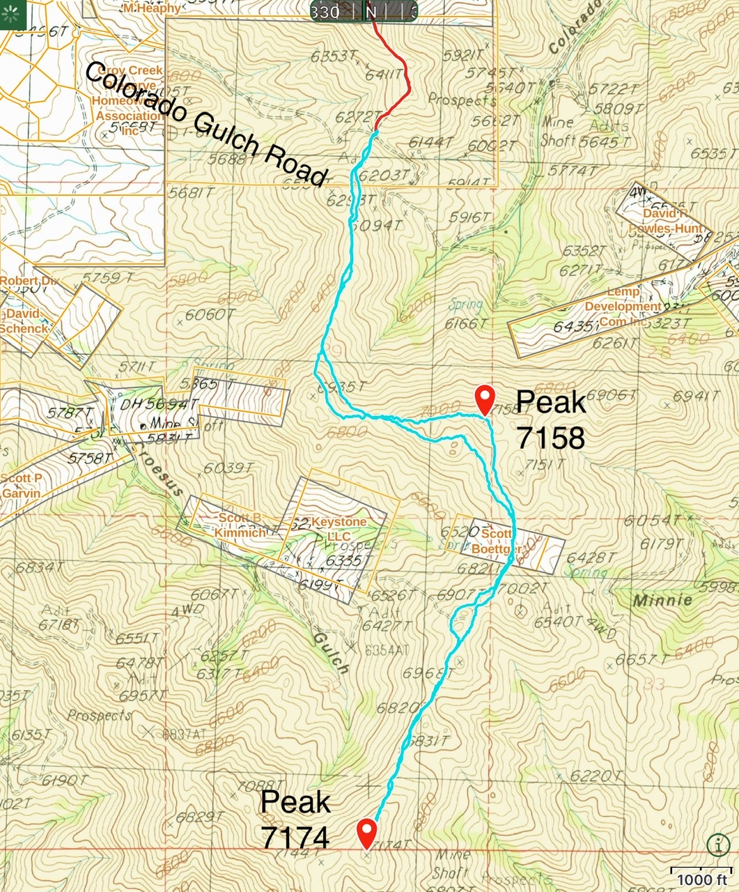
My route for these two peaks covered 5.7 miles with 1,250 feet of elevation gain round trip. All of the high points can be bypassed on game trails that vary in quality.
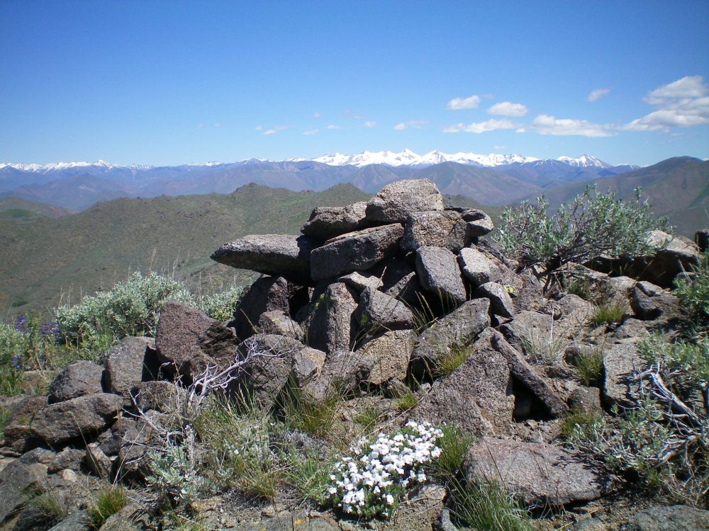
The summit cairn atop Peak 7174. Livingston Douglas Photo
Additional Resources
Regions: Smoky Mountains->WESTERN IDAHO
Mountain Range: Smoky Mountains
Longitude: -114.33429 Latitude: 43.45529