Elevation: 7,220 ft
Prominence: 520
This peak is not in the book. Published November 2023
Peak 7220 is the southeast-most summit on lengthy Porphry Ridge in the Yellowjacket Mountains. It can be climbed directly from FSR-112 via its southwest face or can be climbed in combination with nearby Peak 7112 and Peak 7220. USGS Blackbird Mountain
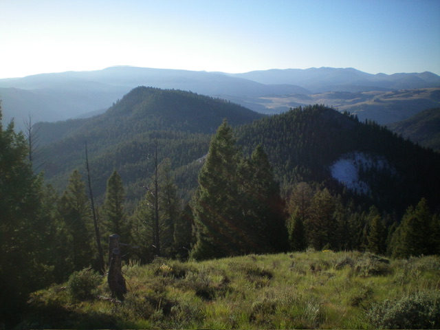
Peak 7220 (left) and Peak 7112 (right) as viewed from Peak 7248 to the northwest. Livingston Douglas Photo
Access
Same as for Peak 7248. This is the third leg of a 3-peak adventure that includes Peak 7248, Peak 7112, and Peak 7220. It covers 5.0 miles with 2,225 feet of elevation gain round trip.
Map Errors
The USGS topo map shows a 4WD road that crosses PorphryRidge between Peak 7112 and Peak 7220. That road no longer exists, though some of the old road bed remains in a few spots near the saddle.
Northwest Ridge, Class 2
The Climb
From the 6,700-foot connecting saddle with Peak 7112, head southeast then east up through a thick pine forest with copious deadfall. Follow an old road bed early on then stay in open, grassy areas to avoid the tedious forest as much as possible. Higher up, bushwhack through the somewhat-tedious forest with two minor drops to ridge saddles along the way. The summit area is thickly forested and has two rocky outcrops that contest for the position of high point.
The northwest outcrop has a small survey marker in the ground near the highest boulder. I built a summit cairn on the highest boulder. The southeast outcrop (which measures of almost identical height) has a partial view of the communication tower to the southeast. Given the survey market, my vote is for the northwest outcrop as the high point of Peak 7220. Thankfully, it is only a 2-minute forest bushwhack from one outcrop to the other. Visit both outcrops just to be sure.
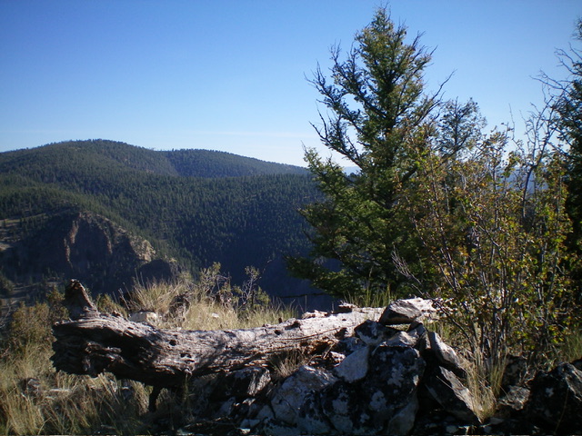
The true/northwest summit with its newly-built summit cairn. Livingston Douglas Photo

The survey marker atop the true/northwest summit. Livingston Douglas Photo
Southwest Face, Class 2
The Descent
From the northwest summit, descend southwest through a confusing maze of faces, gullies, and shoulders in a tedious pine forest with lots of deadfall to navigate around. The southwest “face” is not as open as the USGS topo map suggests. It offers very limited visibility. As you approach FSR-112, move left/southeast to avoid going into a thick gully. Finish the descent to the road on a magnificent grassy shoulder. Walk about a mile northwest up the road to the unsigned road junction where today’s adventure began.
Additional Resources
Regions: Eastern Salmon River Mountains->Salmon River Mountains->WESTERN IDAHO->Yellowjacket Mountains
Mountain Range: Eastern Salmon River Mountains
Longitude: -114.3439 Latitude: 45.0229