Elevation: 7,397 ft
Prominence: 412
This peak is not in the book. The elevation is based on LiDAR measurements. The map measurement is 7392. I added my GPS attack to this page. The unofficial name is based on its location next to the former village of Obsidian. Pigtail Peak is another name that has been suggested for the peak. Updated June 2025
Peak 7397 is a small scrub hump that towers over the hamlet of Obsidian on ID-75 south of Stanley. It is easily climbed from the Williams Creek Trailhead just north of Obsidian. This area is a mix of private and public land, so be careful. This climb is entirely on BLM land. USGS Obsidian
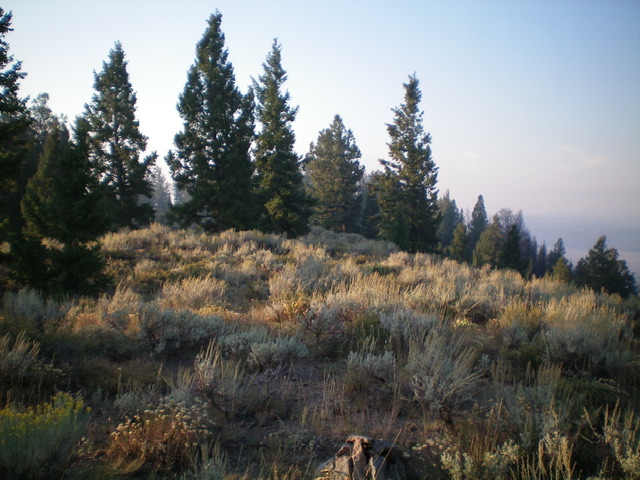
A early morning photo of Peak 7392 and its west face (my ascent route) as viewed from the Williams Creek trailhead. Livingston Douglas Photo
Access
From ID-75 south of Stanley, turn right/east into the [signed] Williams Creek trailhead parking area which is located 0.1 miles north of the [signed] hamlet of Obsidian. Park here (6,630 feet).
West Face, Class 2
The Climb
From the large trailhead parking area, bushwhack east from the Williams Creek trailhead up a steep, fairly thick sagebrush slope (more akin to a shoulder initially) to reach a flat bench. Continue east up the sagebrush face, staying to the right/south of a dry gully. Reach some scattered pines high up and continue up to the high point, which is hard to discern on the flat summit ridge. I walked north for about 75 yards to an open area of the ridge, seeking to find a higher point but it measured of equal altitude to my entry point. Based on the USGS topo map, the southern of the two points is probably the official high point of Peak 7392. The northern point is close to a dropoff north to a saddle and the [lower] forested north summit hump on the USGS topo map. There wass no summit cairn on the flat, sagebrush summit plateau, so I built a small one.
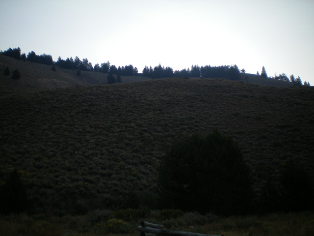
The summit area of Peak 7392. Livingston Douglas Photo
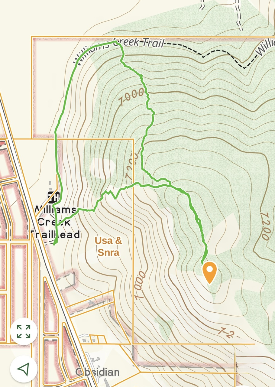
My route up Obsidian Peak climb straight up the west face which is steep but not difficult. We descended down the north ridge which involved crossing a lot of downfall. There were spots where we followed an old trail which had not been maintained in decades. Elevation gain was 656 feet and we travelled 2.2 miles in total.
Additional Resources
Regions: EASTERN IDAHO->White Cloud Mountains
Mountain Range: White Cloud Mountains
Year Climbed: 2025
Longitude: -114.08211 Latitude: 44.08229