Elevation: 7,428 ft
Prominence: 368

This peak is not in the book. Published November 2020
Peak 7428 is a rather nondescript, forested, triple-topped hump that is hidden from view from Skyline Road. You’ll have to do your work to get this one. The bushwhack is rather unpleasant. The center hump is the high point (7,428 feet) as compared to the west summit (7,363 feet) and the east summit (7,380 feet). Thankfully, Peak 7428 is a ranked summit whereas nearby Peak 7313 is not. USGS Commissary Ridge

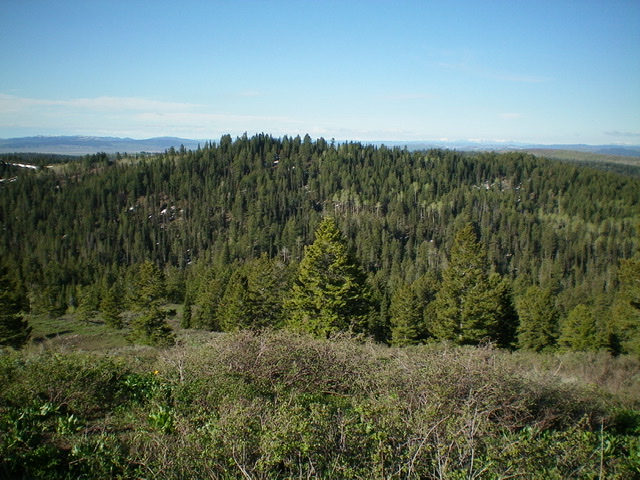
Forested Peak 7428 (summit is just left of center) as viewed from the north. Livingston Douglas Photo
Access
Same as for Flag Knoll. This is the second leg of a three-peak journey that includes Flag Knoll, Peak 7428, and Peak 7313 with a re-climb of Flag Knoll at its end.
North Face, Class 2
The Climb
Follow the forested connecting saddle with Flag Knoll, bushwhack south up through a thick pine forest to reach the high point of Peak 7428. The summit is in the open and offers views but the wicked forest is only 100-150 feet away. When you descend from the summit, you’ll have to wrestle with it again. The summit had nothing on top so I built a summit cairn.

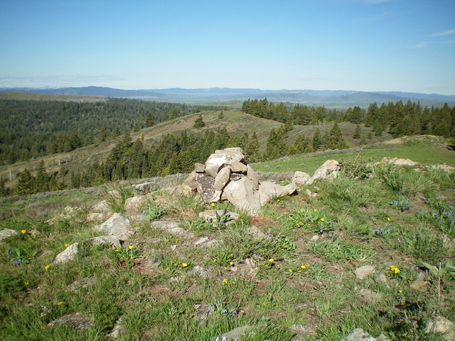
The newly-built summit cairn atop Peak 7428 looking west at the [lower] west summit (7,363 feet). Livingston Douglas Photo

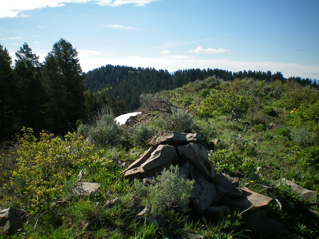
The brushy summit of Peak 7313 with Peak 7428 in the background (forested, left of center). Livingston Douglas Photo
Northwest Ridge, Class 2
The Descent
This route is part of a ridge traverse from Peak 7428 to Peak 7313. From the summit, descend west on a ridge line in open terrain to a ridge juncture. Head right-ish (northwest) to descend the northwest ridge through a thick pine forest to reach the South Fork Creek drainage below. When you reach the creek drainage, you are in an open, marshy area just below the head of the drainage. Cross a small stream and quickly find an ATV trail on the northwest side of the creek drainage. This concludes the second leg of today’s three-peak journey. Peak 7313 is up next.
Additional Resources
Regions: Caribou Range->SOUTHERN IDAHO
Mountain Range: Caribou Range
Longitude: -111.26849 Latitude: 43.26849