Elevation: 7,550 ft
Prominence: 632
This peak is not in the book. Published November 2023
Peak 7550 sits atop magnificent Schmid Ridge. It is one of several ranked summits on this lengthy ridge on the east side of the Slug Creek Valley. Peak 7550 is most easily climbed via its north ridge from FSR-198 at Pass 6918. USGS Dry Valley
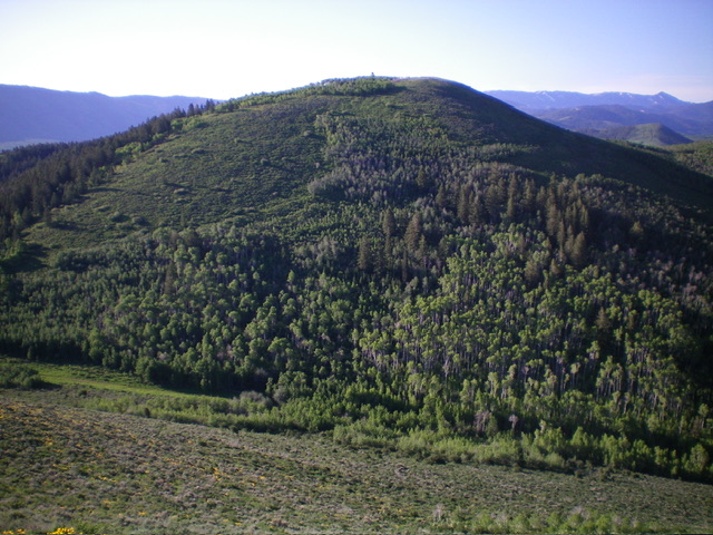
Peak 7550 as viewed from the north. The north ridge (left of center) was my ascent route. The northwest face (right of center) was my descent route. Livingston Douglas Photo
Access
Same as for Peak 7568. This is the second leg of a 2-peak adventure that includes Peak 7568 and Peak 7550. It begins at Slug Creek Road and covers 6.5 miles with 1,975 feet of elevation gain round trip.
Map Errors
The USGS topo map shows a BLM road heading northeast from Slug Creek Road to reach the critical road junction early on. In fact, that road no longer exists but a BLM road (not shown on maps) does head east from Slug Creek Road along the south edge of the BLM property line to intercept the aforementioned road junction.
North Ridge, Class 2
The Climb
From the connecting saddle between Peak 7568 and Peak 7550 at Pass 6918, bushwhack southeast through the shortest patch of thick aspens. Find an excellent cattle trail to reach the open, but thick, sagebrush slope above the aspens. Make upward progress through the sagebrush via gaps/lanes in this thick mess. Angle diagonally right/south to reach the edge of a thick aspen forest high up.
Skirt the right/west side of the forest in open sagebrush (with a game trail and gaps to help) to reach the open west side of the elongated summit ridge crest/plateau. Bushwhack another ¼ mile south/southeast through shorter sagebrush and yellow flowers to reach the elusive summit. The summit has a piece of rebar protruding from the ground. I built a small cairn around it. The north ridge is quite rounded and often feels like a face.
Its west side is mostly open terrain and is preferable to the thickly-forested east side of the ridge. From the summit, return to FSR-198 in the flat saddle area at or near Pass 6918. Follow the road southwest then west back to Slug Creek Road. There is a 100-foot uphill section where the road climbs up out of a gully to cross a ridge then wiggle its way north then west back to Slug Creek Road.
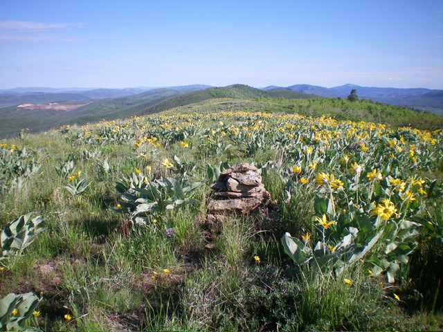
The newly-built summit cairn atop Peak 7550 and the extensive, flowery summit plateau (looking north). Livingston Douglas Photo
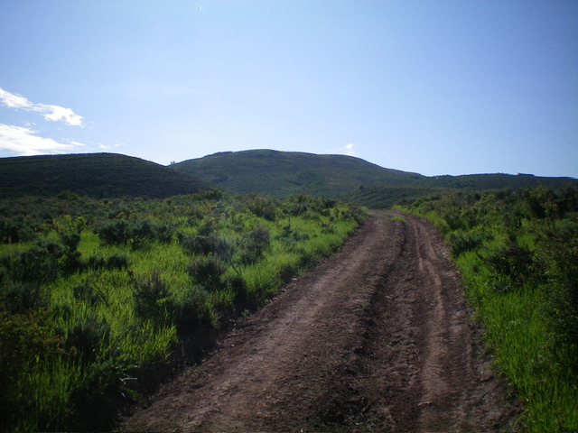
Peak 7550 (just left of center) as viewed from the west. Livingston Douglas Photo
Additional Resources
Regions: Peale Mountains->Schmid Ridge->SOUTHERN IDAHO
Mountain Range: Peale Mountains
Longitude: -111.3192 Latitude: 42.6901