Elevation: 7,585 ft
Prominence: 485
This peak is not in the book. Published November 2020
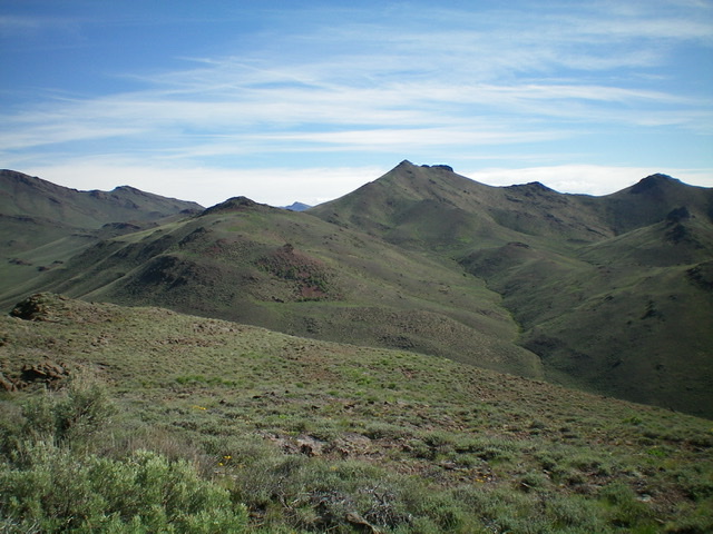
Peak 7585 is a mountain with a rather convoluted shape but has a magnificent pyramidal-shaped summit. It towers over Antelope Creek to its south and Burnt Hollow to its west. USGS Miller Peak
Access
Same as for Peak 6940. This is the second leg of a two-peak adventure that begins along Bear Creek Road.
The magnificent pyramidal summit of Peak 7585 (dead center) and its south spur (left of center) and west ridge (leading rightward to the summit from the south spur) as viewed from the southwest. Livingston Douglas Photo
South Spur/West Ridge, Class 2
The Climb
From the connecting saddle with Peak 6940, bushwhack north through sagebrush (with gaps) to reach shorter scrub and the rocky start of the south spur. Follow the open spur north then northeast to a ridge hump. Descend north then east from this gentle hump, losing 150 vertical feet in the process. Scramble east up the west ridge to reach the magnificent pyramidal summit of Peak 7585. The terrain is a combination of short scrub and some rocky areas/outcrops to reach the steep, rocky (loose scree) final push to the top. The summit had a cairn (which I built up) and some triangulation sticks and wiring.
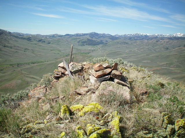
The summit area of Peak 7585, looking west. Livingston Douglas Photo
West Ridge/West Gully, Class 2
The Descent
From the summit, descend southwest then west on the ridge. Drop northwest down a shoulder to a side gully then follow the easy grass in this gully (with a cattle trail to help at times) west down to Burnt Hollow. Descend south down Burnt Hollow on relatively easy, open terrain with cattle trails to help expedite your journey. For the final ¼ mile of Burnt Hollow, follow FSR-749 (an old jeep road) down to a “T” junction with a 2-track road at the base of the north face of Peak 6940. Go right/southwest here on the 2-track road and follow it up over a minor saddle then down to Bear Creek Road. Follow Bear Creek Road left/southeast back to your parked vehicle.
Additional Resources
Regions: EASTERN IDAHO->White Knob Mountains
Mountain Range: White Knob Mountains
Longitude: -113.66219 Latitude: 43.68389