Elevation: 7,620 ft
Prominence: 400
This peak is not in the book. Published January 2023
Peak 7620 is located at the head of East Dry Canyon in the southeast section of the Black Pine Mountains. This is the second leg of a 2-peak adventure that includes Black Pine Cone (8,020 feet) and Peak 7620. The easiest ascent route is via East Dry Canyon Road if you can successfully navigate your way up that road. Peak 7620 is tucked behind the Black Pine Cone ridge crest (to its west) and, consequently, it is not an easy peak to reach. USGS Black Pine Peak
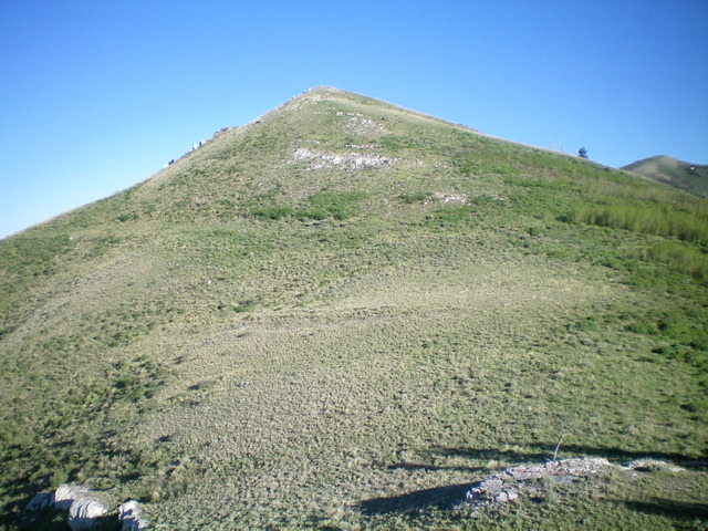
Peak 7620 is the gentle hump in mid-ground as viewed from the southeast. Livingston Douglas Photo
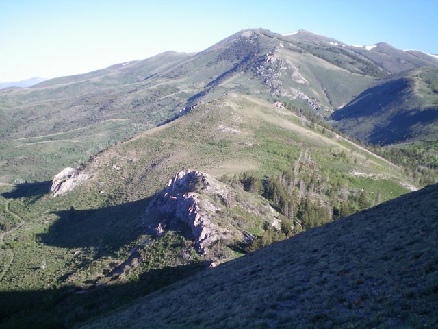
The gentle southeast ridge/face of Peak 7620. Livingston Douglas Photo
Access
Same as for Black Pine Cone. This is the final leg of a 2-peak journey that begins at the top of Mineral Gulch Road.
Southeast Ridge, Class 2
The Climb
From the 7,220-foot connecting saddle with Black Pine Cone, scramble west up over (or just right/north of) a rocky buttress then descend 35 feet to a minor saddle. From the saddle, climb northwest up a face of scrub/sagebrush with some thick sections to avoid. Stay to the left/south for the shortest scrub. You will quickly reach the open, bare summit of Peak 7620. I rebuilt the torn-down summit cairn.
To return to Mineral Gulch Road, descend southeast to the 7,220-foot connecting saddle. Continue southeast then south on a game trail on the right side of the ridge crest to either the 7,620-foot saddle north of Point 7764 or the 7,660-foot saddle south of Point 7764. Descend a gully east from either saddle to get back to the old mining road that leads down to Mineral Gulch Road. The best choice is the first saddle because it descends a gully that is less clogged with brush than the second saddle. I should know because I descended from the second saddle.
The gully that heads northeast then east then southeast from the second saddle is a brushy mess with some forest/blowdown to boot. The final section of the gully heads southeast down to intercept the old mining road at a meadow and a sharp switchback in the road. It is best to stay on the left/north side of the gully in this section to avoid the worst of the veg. Both gullies (from the two saddles) merge just above this section of the gully so it is unavoidable.
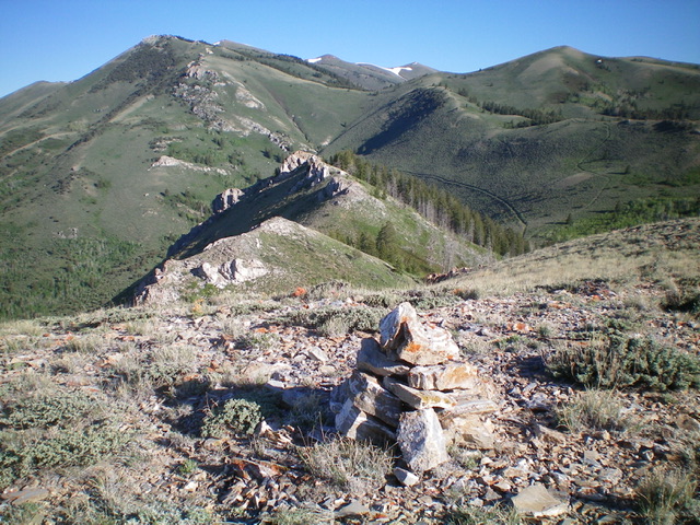
Looking northwest from the summit of Peak 7620. Livingston Douglas Photo
Peak 7620 is the gentle hump in mid-ground, as viewed from the southeast. Livingston Douglas Photo
Additional Resources
Regions: Black Pine Mountains->SOUTHERN IDAHO
Mountain Range: Black Pine Mountains
Longitude: -113.07739 Latitude: 42.09701