Elevation: 7,947 ft
Prominence: 447

This peak is not in the book. Published January 2023
Peak 7947 is a ridgeline hump that is located north of Granite Pass and south of the Middle Mountain high point (8,060 feet). The rocky summit is on private land so you must obtain permission before undertaking this climb. USGS Lyman Pass

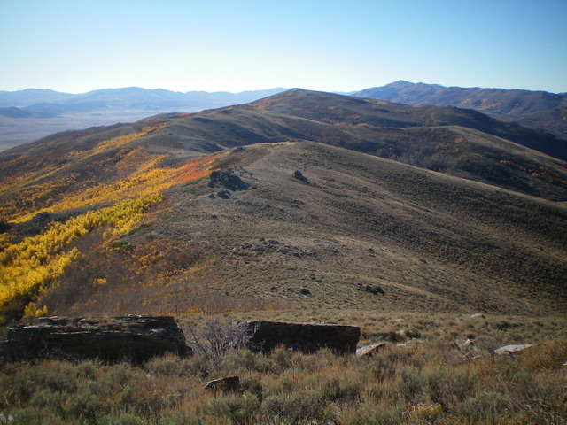
Peak 7947 (in dead center in distance) as viewed from Middle Mountain South to its north. Livingston Douglas Photo
Access
Same as for Middle Mountain South. This is the second leg of a 2-peak adventure that includes Middle Mountain South and Peak 7947.
North Ridge, Class 2
The Climb
From the 7,500-foot connecting saddle with Middle Mountain South, follow an old cattle trail on the right/west side of the fence row up through scrub then a patch of thick, wicked aspens to reach high, open scrub and the junction with the west ridge. Cross the cattle fence and follow the ridge east briefly then south to the rocky summit area. There is no summit cairn.

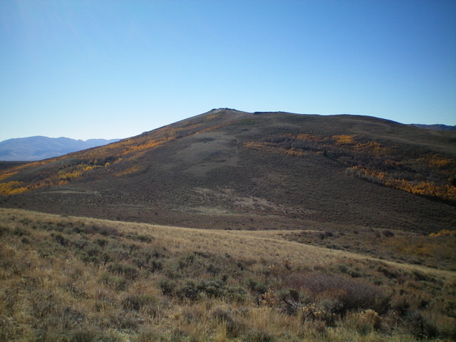
Peak 7947 as viewed from the north, just above the saddle at the base of its north face. Livingston Douglas Photo

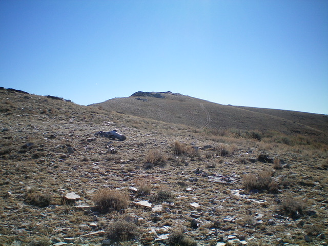
The summit hump of Peak 7947 as viewed from the public/private fence boundary high on the west ridge. The summit is on private land. Livingston Douglas Photo
Descent Routes, Class 2
The best descent route off Peak 7947 is probably the west ridge. It leads directly back to the [unsigned] north-south BLM road that intersects Emery Creek Road. The upper half of the west ridge is open terrain and is mostly open scrub. The lower half of the ridge is forested or semi-forested.
I descended back to the connecting saddle then followed a good cattle trail west down a major gully. Regrettably, the cattle trail eventually ended and the bushwhack to the road got very thick with brush and junipers. It was not fun and I do not recommend it. Try to avoid the gullies in this area because, even though dry, they can be very difficult to bushwhack.
Additional Resources
Regions: Albion Range->SOUTHERN IDAHO
Mountain Range: Albion Range
Longitude: -113.83989 Latitude: 42.03101