Elevation: 8,142 ft
Prominence: 722
This peak is not in the book. Published June 2023
Peak 8142 is located due east of Rattlesnake Mountain in a rugged, isolated area between the middle and south forks of the Boise River and east of the Trinity Mountains. This section of Boise Mountains is as up-and-down as any spot in the Idaho Batholith. It is wild and difficult country. USGS Sheep Creek
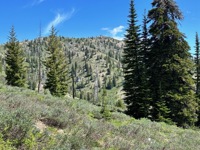
Peak 8142 as viewed from the south
Access
Devils Creek Trail, FST-128. [(C)(1.1)(a) Page 149]. From Tipton Flats follow FST-128 to the saddle between Rattlesnake Mountain and Peak 8142. This trail was brushed by the Forest Service in 2023. It is open to motorcycles and as a result has a few sections characterized by deep V-shaped ruts. Nevertheless, it is a scenic hike with massive views and, at least in June, crosses many small streams. Reach the saddle in 5.2 miles after gaining 2,200 feet of elevation.
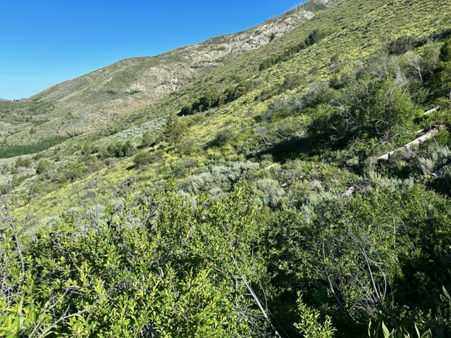
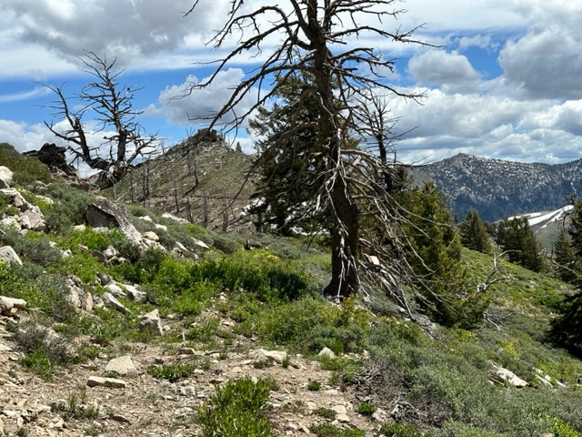
Tipton Flat is located at 5,000 feet. The trail starts out following through a riparian area along Tipton Creek but soon breaks out into a brushy landscape which traverses the south slopes of Rattlesnake Mountain.
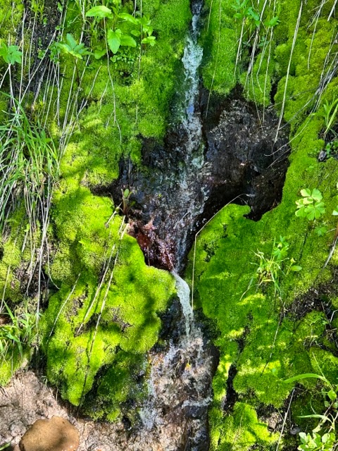
One of the many streams crossing the trail as it traverses the south slopes of Rattlesnake Mountain.
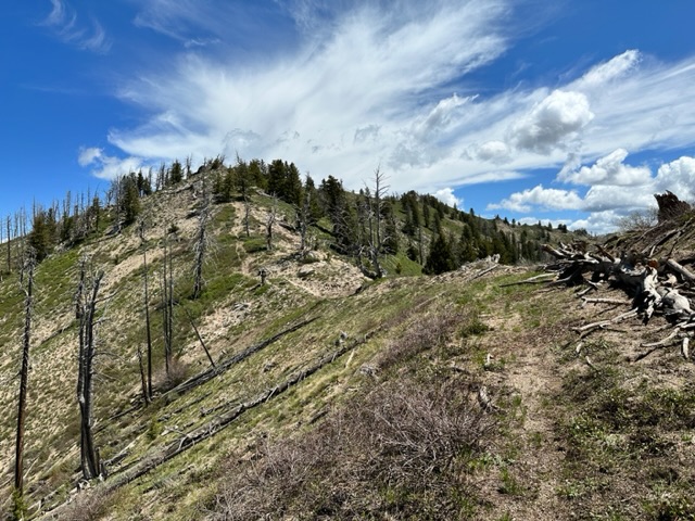
West Ridge, Class 3
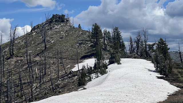
From the saddle, an unofficial trail climbs up the peak’s west ridge eventually ending on the east side of a false summit. It is 1.0 mile to the summit with 700 feet of elevation gain from the saddle. From this point, the true summit with its granite cap is visible a short distance ahead. Follow the wide, open ridge to the summit boulders which can be climbed via several short lines without any significant exposure. There were remnants of an old summit register can. Alas, the contents were gone. Trip stats: 12.0 miles with 3,100 feet of elevation gain round trip.
The mid section of the west ridge
Looking to the true summit from the false summit
The granite capped true summit. Steve Grantham Photo
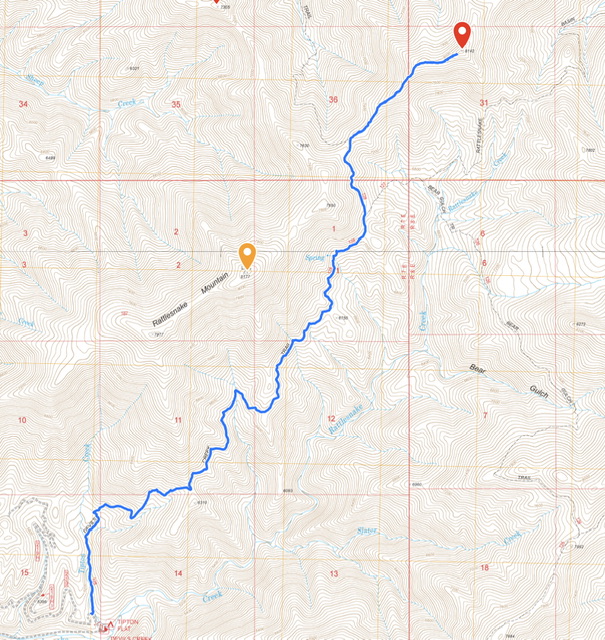
My GPS track for Peak 8142. Please note that the Tipton Flat Campground was destroyed years ago by a forest fire. There is good dispersed camping but no facilities.
Additional Resources
Regions: Boise Mountains->WESTERN IDAHO
Mountain Range: Boise Mountains
Year Climbed: 2023
Longitude: -115.5521 Latitude: 43.6439