Elevation: 8,256 ft
Prominence: 516
This peak is not in the book.
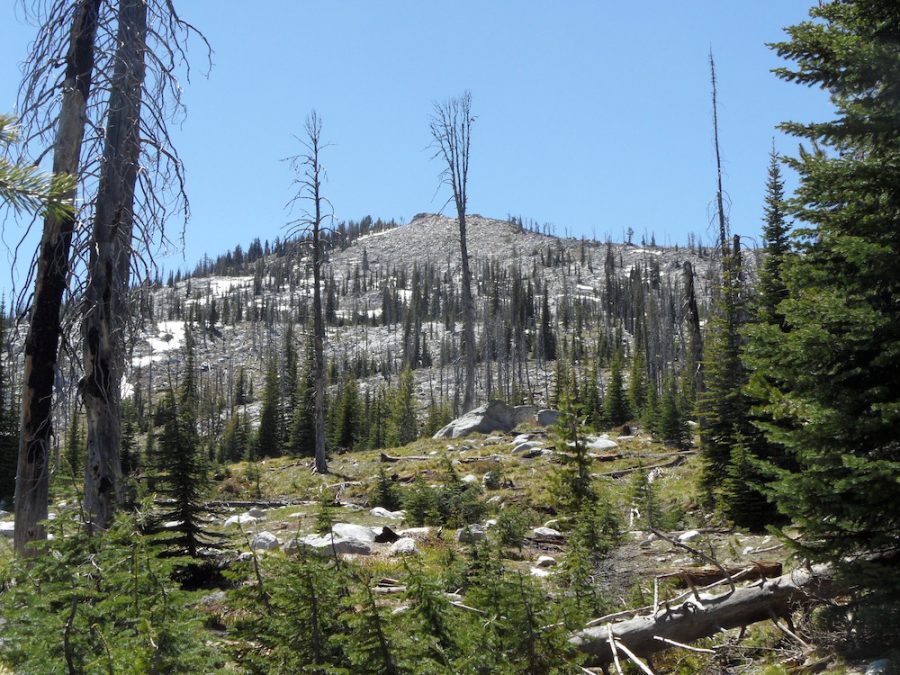
Peak 8256 is located on the border of Idaho County and Valley County in the Payette National Forest, just west of Goose Creek/Hazard Lake Road [(B)(1) on Page 134]. The peak lies on a long ridgeline anchored by Slab Butte to the south and Ladybug Peak to the north. Use the link to John Platt’s trip report for the details. Class 2. USGS Hazard Lake
Peak 8256. John Platt Photo
Additional Resources
Regions: Northwest Corner Peaks->Salmon River Mountains->WESTERN IDAHO->Western Salmon River Mountains
Mountain Range: Western Salmon River Mountains
Longitude: -116.13659 Latitude: 45.13769