Elevation: 8,289 ft
Prominence: 509
This peak is not in the book. Updated August 2023
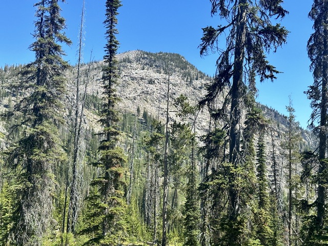
Foolhen Peak is located east of Duck Lake and south of Hum Lake. Its south face towers over Lick Creek rising 2,400 feet in just under two thirds of a mile. Foolhen Peak is another peak from John Platt’s endless collection of Lick Creek Range ascents. See John’s trip report for more details of his ascent. USGS Box Lake
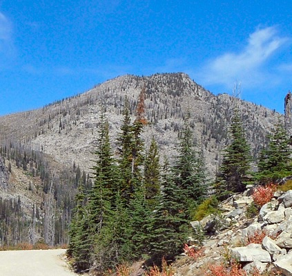
Foolhen Peak viewed from the southwest.
Access
Access is from FH-48, Lick Creek/Yellow Pine Road [(B)(3) Page 136]. Follow FH-48 north, cross over Lick Creek Summit and begin the descent into the Lick Creek drainage. After descending the road for 1.1 miles the road reaches the signed Duck Lake/Hum Lake Trailhead. Turn left into the large trailhead and park
Northwest Ridge, Class 3
The majority of this route follows well maintained trails, a rarity for climbing Lick Creek Range peaks. FST-085 [(B)(3)(c) Page 136] leaves the north end of the parking lot. Follow it north for 0.9 miles to its junction with FST-082 [(B)(3)(c.1) Page 136]. Follow FST-082 as it switchbacks up to the pass above Hum Lake in 1.4 miles.
Leave the trail at the pass and climb the northwest ridge to a false summit at just over 8,200 feet. While it is possible to stay close to the ridge crest the southwest side of the ridge has less downfall to negotiate. From the false summit work your way east to the true summit. There is one short step to down climb but the route is obvious. My GPS measures 6.2 miles with 1,700 feet of elevation gain.
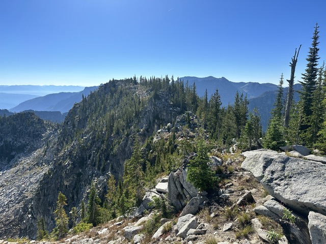
The true summit viewed from the false summit.
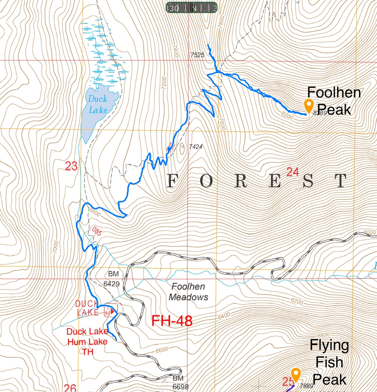
My GPS track for Foolhen Peak. Note that FST-085 was improved and realigned and is not correctly mapped on the either the USGS quad or the FS topo maps. Also, the track so a reconnaissance I made on Humdinger’s southeast ridge.
Additional Resources
Mountain Range: Western Salmon River Mountains
Year Climbed: 2023
Longitude: -115.91219 Latitude: 45.05939