Elevation: 8,323 ft
Prominence: 311
This peak is not in the book. The elevation and prominence figures reflect recent LiDAR updates. Updated March 2025
Peak 8323 is now a ranked summit (thanks to LiDAR) that is located between Little Elk Mountain and Big Elk Mountain. It sits above the headwaters of both Wolverine Creek and Deadman Creek. In actuality, Peak 8323 is a bump on the long southwest ridge of Big Elk Mountain. It is easily climbed in combination with either Little Elk Mountain or Big Elk Mountain. USGS Big Elk Mountain
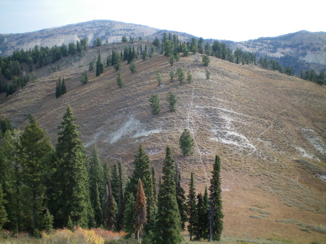
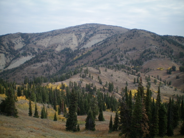
Peak 8323 (center, mid-ground) as viewed from the southwest. Livingston Douglas Photo
Access
Same as for Little Elk Mountain. This is the second leg of a two-peak journey that begins at the trailhead for the Great Western Trail near McCoy Creek Road.
Southwest Ridge, Class 2
The Climb
From the 8,020-foot connecting ridge with Little Elk Mountain, climb northeast up the southwest ridge on a STEEP use trail of loose gravel (dangerous on descent) to reach the summit ridge of Peak 8323. The summit high point is about 100 feet left/north up the narrow, brush-and-rock ridge crest. The summit has no summit cairn but offers a magnificent view of Big Elk Mountain to its northeast.
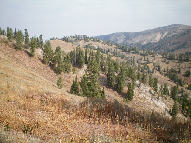
Peak 8323 (the rightmost of the 2 humps left of center) as viewed from the south. Livingston Douglas Photo
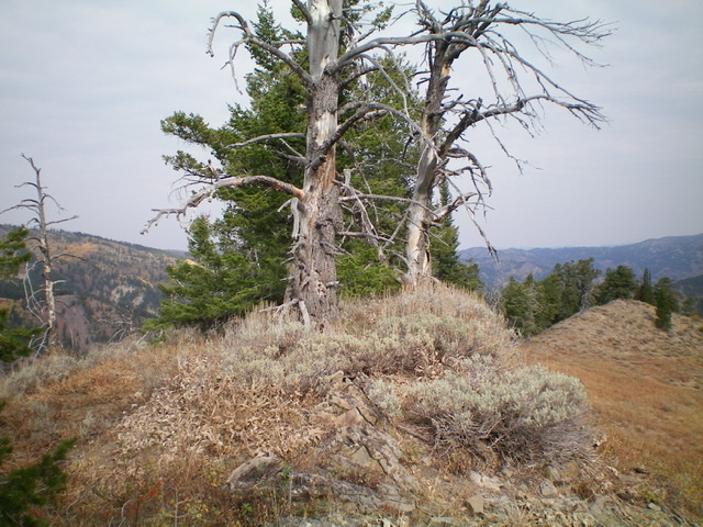
The summit high point of Peak 8323, looking north. Livingston Douglas Photo
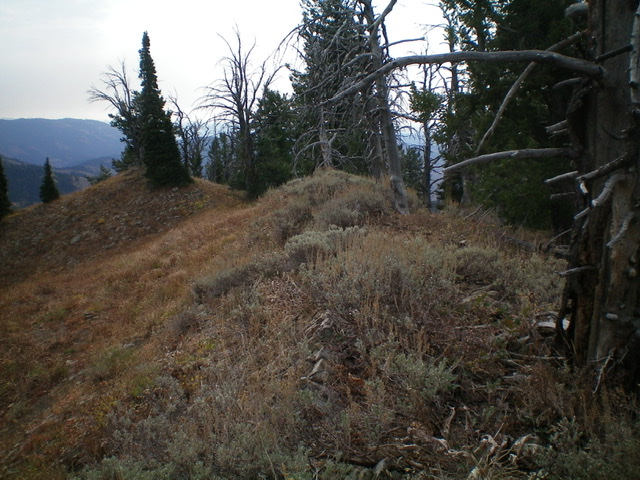
The narrow, brush-and-forest ridge crest of Peak 8323, looking south. Livingston Douglas Photo
Big Elk Mountain (dead center in distance) as viewed from the summit of Peak 8323. Livingston Douglas Photo
Return to the Great Western Trail, Class 2
From the summit, descend the steep, loose use trail down to the 8,020-foot saddle. Follow the Great Western Trail from the saddle as it ascends diagonally left/southwest up to the south spur of Little Elk Mountain to reach an unsigned ridge junction (cairn here). Head left/south at this junction and follow the Great Western Trail back to the trailhead near McCoy Creek Road.
Additional Resources
Regions: Caribou Range->SOUTHERN IDAHO
Mountain Range: Caribou Range
Longitude: -111.30129 Latitude: 43.21739