Elevation: 8,340 ft
Prominence: 320
This peak is not in the book. Published August 2020
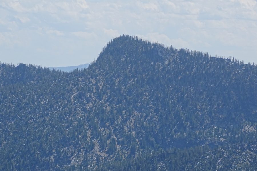
Mount Heinous is located at the east end of a rugged ridgeline that starts at on the main Lick Creek crest and runs northeast over Fitsum Peak (i.e., The Spear) and Mount Horrendous to end on Mount Heinous. Its a long, torturous hike from any direction to reach this peak. John Platt climbed this peak because it was the last peak he needed to complete all of the peaks on the Fitsum Peak quadrangle–an impressive accomplishment unlikely to ever be repeated, absent the future formation of a “Lick Creek Johnny” cult. The name he adopted is spot on for this ugly, tree-covered peak. USGS Fitsum Peak
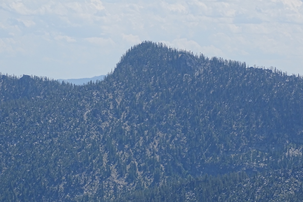
Mount Heinous. The southwest ridge is on the right. John Platt Photo
Access
There are two feasible approaches for this peak: the East Fork Trailhead and and the Thirtythree Lake Route.
East Fork Lake Fork trailhead [(B)(3)(b) on Page 136]. Hike up the East Fork Lake Fork to the junction with the North Fitsum Summit Trail in 6.9 miles with 1,200 feet of elevation gain [(B)(3)(b.1) on Page 136]. The North Fitsum Summit Trail no longer shows up on the USGS topographic map. Nevertheless, the trail is signed and is sort of there.
Thritythree Lake Trail. This unofficial use trail is accessed from the Lick Creek/Yellow Pine Road [(B)(3) on Page 136]. The trailhead is the obvious switchback in the road about 1.5 miles below Lick Creek Summit. There is a large parking area on the north side (left, heading up the hill) and a smaller pullout on the right, sometimes used as a campsite. The trail (two of them, actually, but they soon join up) starts at the back of the smaller pullout. The route covers 2.75 miles with 1,800 feet of elevation gain.
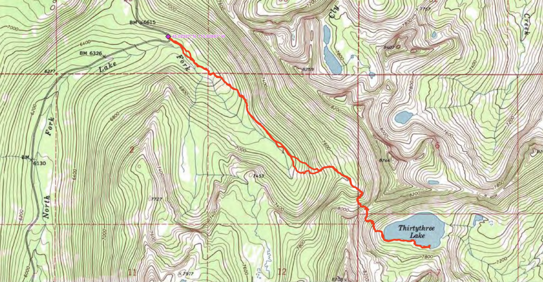
The switchback on the Lick Creek/Yellow Pine Road is shown on the hiking map, along with the coordinates.
South Ridge, Class 2
Use the link below to read John Platt’s trip report.
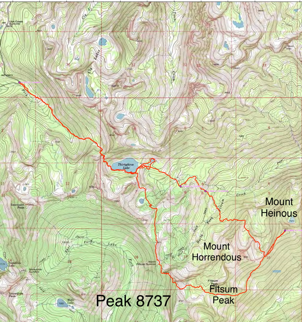
John Platt’s route from Thirtythree Lake to Mount Heinous and back.
Additional Resources
Mountain Range: Western Salmon River Mountains
Longitude: -115.84619 Latitude: 44.99059