Elevation: 8,437 ft
Prominence: 1,247
This peak is not in the book. Livingston Douglas added a new descent route and three photos to this entry. Updated October 2025
Tri-summitted Peak 8437 is located southwest of the pass where the Big Canyon/Knox Canyon Road crosses the range. USGS Deep Creek Peak

Peak 8437 as viewed from the northeast
Access
Use the directions found on the Deep Creek Peak page. Stop short of the pass at the point where the primitive Bull Canyon Road leaves the main road.
Northeast Ridge, Class 2
Follow the peak’s northeast ridge toward Point 7873. From this point, climb southwest to the summit. Expect brush along the way.
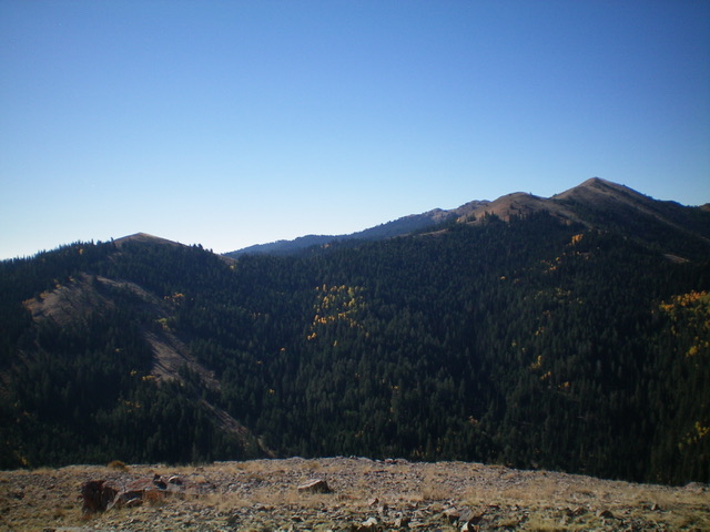
Peak 8437 (at far right) and Point 7873 (at far left) with the entire ascent route in view. Livingston Douglas Photo
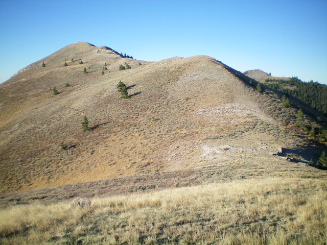
Peak 8437 (summit is left of center) and its northeast ridge as viewed from Point 8176. Livingston Douglas Photo
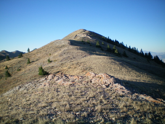
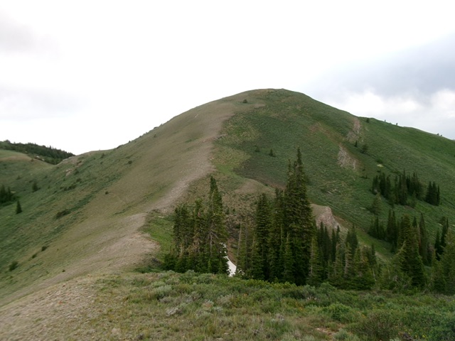
The final push up the northeast ridge to the summit of Peak 8437. Livingston Douglas Photo
South Ridge, Class 2
The Descent (then Ascent)
From the summit, descend the ridge south then south-southeast to the 8,100-foot connecting saddle with Peak 8388. The ridge terrain is easy, short scrub. Nothing difficult. This concludes the first leg of today’s 2-peak journey. Peak 8388 is up next.
Peak 8437 and its south ridge (left of center). This was my descent (then ascent) route. Livingston Douglas Photo
Additional Resources
Regions: Deep Creek Mountains->SOUTHERN IDAHO
Mountain Range: Deep Creek Mountains
Longitude: -112.71619 Latitude: 42.44301