Elevation: 8,533 ft
Prominence: 513
This peak is not in the book. Published November 2022
East Fisher Creek Peak is located on an open ridgeline that sits above Fisher Creek in the White Cloud Peaks. While there are patches of forest in this area, it is mostly sagebrush and field grass and has ample signs of deer and elk. East Fisher Creek Peak is slightly higher than its ridgeline neighbor to the west, West Fisher Creek Peak (8,485 feet). USGS Obsidian
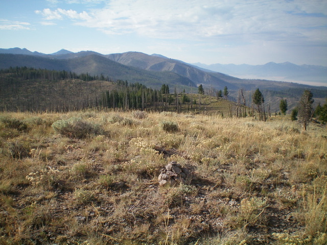
The summit of East Fisher Creek Peak, looking south along the ridge which bends left. The south ridge was my descent route. Livingston Douglas Photo
Access
Same as for West Fisher Creek Peak. This is the second leg of a 2-peak adventure that includes West Fisher Creek Peak (8,485 feet) and East Fisher Creek Peak.
West Ridge, Class 2
The Climb
From the 8,020-foot connecting saddle, head east up the ridge in open grass/sagebrush then climb up a forested, steep-ish face section to reach the final sagebrush slope that leads up to the open summit. There was no summit cairn, so I built one with the scree that I could find on the sagebrush-covered summit area.
South Ridge, Class 2
The Descent
From the summit, head south through the open ridge scrub then through some forest with a tiresome, 100-foot rise (with lots of blowdown) to reach a forested point at 8,480+ feet. The left/north side of this point is open and gives visibility of the descent ridge south to Fisher Creek Road. Follow the open ridge south through endless downed timber in the open scrub. Reach a hidden (and surprising) headwall. Descend it then scramble down a somewhat-steep talus slope to reach thick sagebrush below. Work right-ish/southwest through the thick sage to reach Fisher Creek Road. Hike about ¾ mile right/west on the road to return to the parking pullout and your awaiting vehicle.
Additional Resources
Regions: EASTERN IDAHO->White Cloud Mountains
Mountain Range: Pioneer Mountains
Longitude: -114.75801 Latitude: 44.08029