Elevation: 8,586 ft
Prominence: 526
This peak is not in the book. Livingston Douglas added additional details to the access section as well as photos. Updated November 2023
This peak is located on the Idaho/Montana border between Blue Nose and Johnson Benchmark. Its north face drops precipitously down to a shallow Montana tarn. USGS Shoup
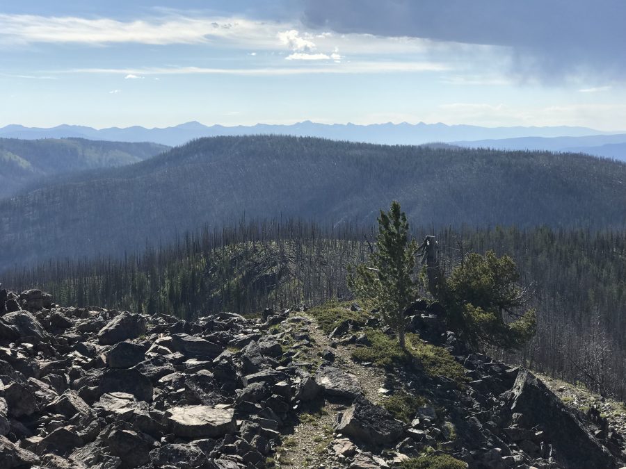
Peak 8586 as viewed from Blue Nose
Access and Route, Class 1+
Access is via the Spring Creek Road/FSR-038 which is reached from North Fork, Idaho via the Salmon River Road/FSR-30. Google Maps provides directions to this remote peak from North Fork, Idaho if you search for Blue Nose. FSR-38 passes right by Peak 8586 Park in a roadside pullout on the south side of the ridgeline peak on FSR-038/Spring Creek Road. This pullout is at 8,380 feet and 45⁰27’48”N, 114⁰19’24”W. Keep in mind that the driving route is long and steep. It will take nearly two hours to drive, assuming it is dry. Check with the Forest Service for current road conditions. It is wise to carry a chain saw as this is a burn area and windy conditions are common, blowing down the unstable snags and blocking the road.
West Ridge, Class 1+
On the west end of the peak’s summit ridge, turn onto a 4WD road that quickly leads to a point just below the high point.
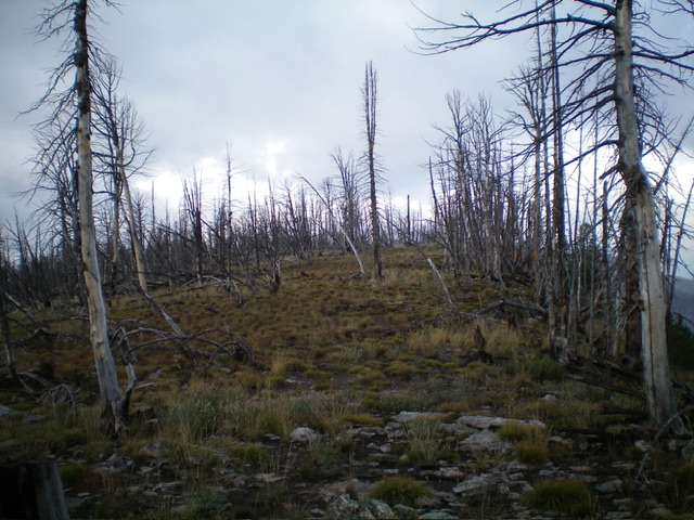
The summit hump of Peak 8586 as viewed from the east. Livingston Douglas Photo
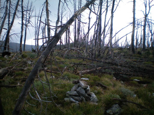
The newly-built summit cairn atop charred Peak 8586. Livingston Douglas Photo
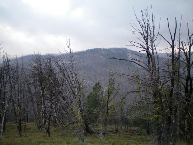
Peak 8586 as viewed from Johnson Benchmark to its northeast. Livingston Douglas Photo
Additional Resources
Regions: Bitterroot Mountains->NORTHERN IDAHO
Mountain Range: Bitterroot Mountains
Year Climbed: 2019
Longitude: -114.32409 Latitude: 45.46601