Elevation: 8,619 ft
Prominence: 319
This peak is not in the book. Published January 2023
Peak 8619 is located on a ridge crest about midway between Thunder Mountain (8,662 feet) and Red Mountain (8,697 feet). It separates Lookingglass Creek from Holter Creek. This is the second leg of a 2-peak adventure that includes Red Mountain and Peak 8619. The journey covers 11.8 miles with 3,325 feet of elevation gain round trip. USGS Garns Mountain
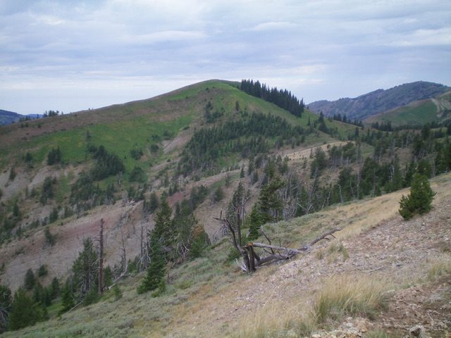
Peak 8619 as viewed from the southeast. Livingston Douglas Photo
Access
Same as for Red Mountain. This is the second leg of a 2-peak journey.
East Ridge/Face, Class 2
The Climb
From the 8,300-foot connecting saddle, bushwhack through somewhat thick veg (along the edge of a patch of pines) to reach the steeper, upper east face. Climb west up through thick, waist-deep ferns to reach the small, gentle summit of Peak 8619. There is a modest cairn on top.
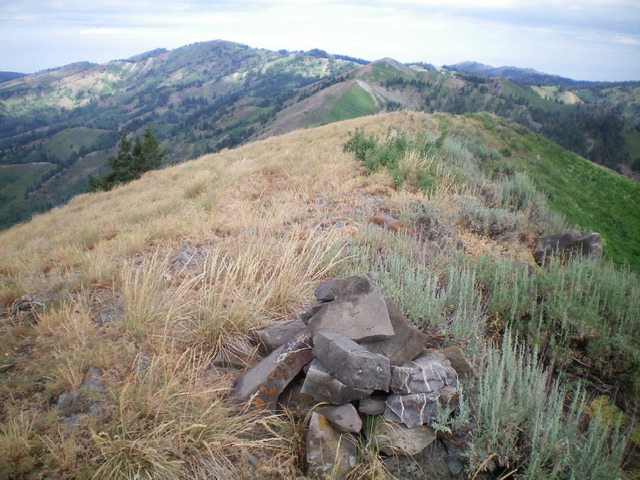
The summit cairn atop Peak 8619, looking northwest. Livingston Douglas Photo
The Descent
From the summit, descend east back to the connecting saddle and FST-217. Follow FST-217 east back to the Government Fork Trail. Descend the Government Fork Trail back to Patterson Creek and follow FST-218 then FST-237 back to the Patterson Creek trailhead and your parked vehicle.
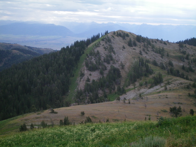
View of nearby Point 8560+ and a large herd of domestic sheep grazing on its upper green slopes (left side of ridge crest). Livingston Douglas Photo
Additional Resources
Mountain Range: Big Hole and Snake River Mountains
Longitude: -111.29029 Latitude: 43.63609