Elevation: 8,770 ft
Prominence: 470
This peak is not in the book. Published November 2018
Stines Peak is located north of Graham Peak and Stines Pass. USGS Cache Peak
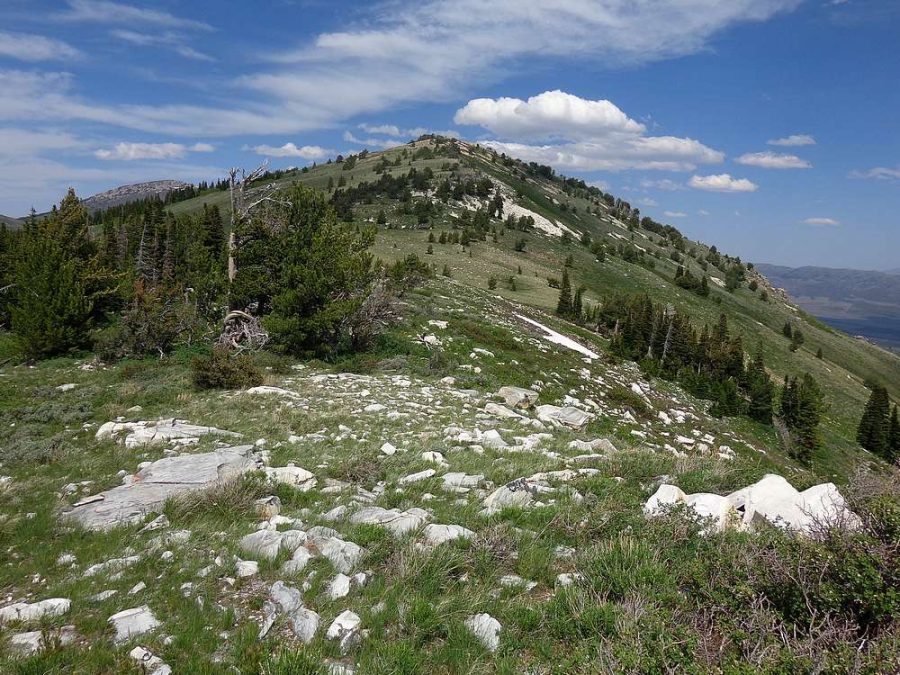
Stines Peak. Dave Pahlas Photo
Southwest Ridge, Class 2+
Access
Same as for the northwest face/northwest ridge on Graham Peak
The Climb
This route is part of a ridge traverse from Graham Peak to Peak 8770. It begins at Stines Pass, the connecting saddle between the two peaks. From Stines Pass (8,300 feet), scramble northeast up firm, embedded talus and scrub to reach a combination of boulders and veg. The boulder hopping here is Class 2+ work. You will soon reach the boulder-strewn summit of Peak 8770. The highest boulder had a couple of rocks for a would-be cairn, so I finished the job by building a decent cairn using the loose talus that I could find. Nothing else on top (summit register, antenna, USGS benchmark, bathroom, snack bar).
After you descend this route back to Stines Pass, follow FSR-607 (not signed) west up into the forest. The road soon reaches a junction with FSR-607A (LEFT turn). Stay on FSR-607 (STRAIGHT) as it heads south-southeast to intersect FSR-562/Logger Springs Road where you are parked. Logger Springs Road is suitable for passenger vehicles all the way to its junction with FSR-607/Stines Pass Road at the 4.3-mile mark.
Additional Resources
Regions: Albion Range->SOUTHERN IDAHO
Mountain Range: Albion Range
Longitude: -113.70689 Latitude: 42.15229