Elevation: 8,773 ft
Prominence: 473

This peak is not in the book. Published November 2020
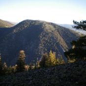
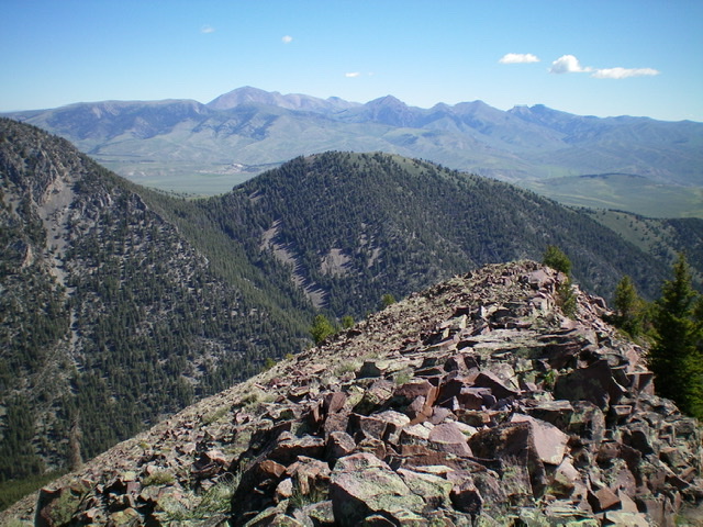
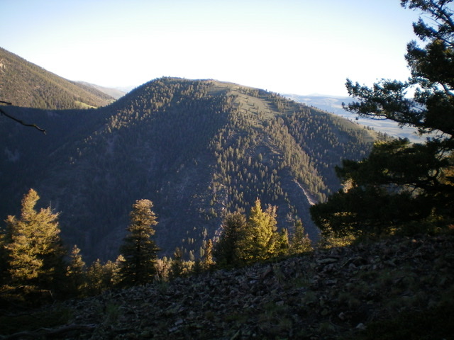
Peak 8773 sits above Webber Creek to its south. It is a gentle hump that is a mix of forest and open scrub. In actuality, Peak 8773 is a ranked summit that is a point on the east spur of the southeast ridge of magnificent Fritz Peak (9,738 feet). It is best climbed in combination with Fritz Peak from the Webber Creek Trail/FST-111. USGS Heart Mountain
Access
The Webber Creek Trailhead is located 4.8 miles up Webber Creek Road/FSR-196 from a signed junction with Medicine Lodge Road to its east. This climb begins along Webber Creek Road about 0.1 miles before it reaches the Webber Creek Trailhead. The road departure point is at 6,850 feet.
East Ridge, Class 2
The Climb
Leave Webber Creek Road/FSR-196 about 0.1 miles before reaching the trailhead to bushwhack northwest up a face/shoulder on the left side of a prominent, non-forested gully to reach the east ridge of Peak 8773. This gully is visible from the road as it is in an open area of an otherwise heavily-forested region. The terrain is sagebrush (which requires some weaving) with some areas of easy grass/scrub and a small patch of open pine forest.
The east ridge is wide open and is an easy scrub hike. Higher up on the east ridge, you will find remnants of a grassy old 2-track jeep road on the right/north side of the ridge to expedite the ascent. As you near the summit, leave the old 2-track when it moves right/north to skirt the summit area. The summit area of Peak 8773 is semi-open and there are two summits of similar height.
The east summit has a small cairn atop it. The west summit is about 100 yards away and has no summit cairn but measures slightly higher (5 feet) according to my altimeter. Stand on both summits just to be sure. The west summit is the measured summit (8,773 feet) and has more area above the final contour line, so I believe that it is the true summit of Peak 8773 and LOJ agrees with me on this.
West Ridge, Class 2
The Descent
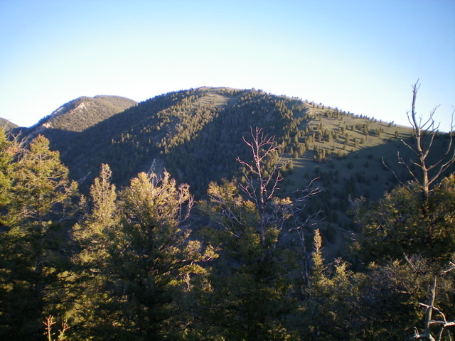
From the west summit, descend west-northwest down a forested ridge/face to a small saddle. This bushwhack isn’t too bad as the forest is not littered with excessive blowdown. This is the conclusion of the first leg of today’s three-peak journey. Fritz Peak is up next.

Peak 8773 (mid-ground) and its west ridge (descent route) to the gentle, grassy connecting saddle with Fritz Peak (left of center). Livingston Douglas Photo
Additional Resources
Regions: Beaverhead Range->EASTERN IDAHO
Mountain Range: Beaverhead Range
Longitude: -112.71719 Latitude: 44.36829

