Elevation: 9,018 ft
Prominence: 558
This peak is not in the book. Livingston Douglas added the original entry for this peak. He climbed the peak via its east ridge by traversing over from Anderson Peak. I climbed the peak via its northwest ridge from the Broken Wagon Road. Both routes are set out below. Updated July 2023
Peak 9018 is a gentle hump that is located northwest of Anderson Peak and south of Broken Wagon Road. The easiest ascent route is the north ridge from Broken Wagon Road. This is the second leg of a 2-peak adventure that includes Anderson Peak (9,339 feet) and Peak 9018. The journey covers 10.2 miles with 3,700 feet of elevation gain round trip. USGS Horse Basin
View of Peak 9018 (gentle hump left of center in the distance) from the summit of Anderson Peak. Livingston Douglas Photo
Access
Same as for Anderson Peak. This is the second leg of a 2-peak adventure that begins on Dry Canyon Road.
East Ridge, Class 2
The Climb
From the 8,460-foot connecting saddle, you have two choices. Either follow a fence row west (my descent route) or follow a jeep road straight ahead (my ascent route). Follow an old jeep road northwest to a saddle area. Leave the road here and scramble left/west across easy scrub to reach the crest of the east ridge. Follow the ridge up over gentle Point 8776 then descend almost 100 vertical feet to a small saddle. From the narrow saddle, follow a decent game trail that stays just left/south of the ridge crest.
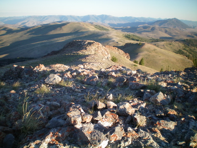
The terrain is much rockier (talus base) in this final climb up scrub to the gentle, broken scree summit of Peak 9018. The summit is a gentle, flat area with a summit cairn on the highest point at the west end of the summit plateau. For some variety, when you return to the connecting saddle, follow the fence row (which is on angled scrub well below the ridge crest on its south side) all the way from the summit. This route skirts Point 8776 rather than climbing up over it.
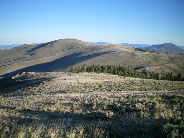
Peak 9018 as viewed from the southeast. The summit hump is left of center. Livingston Douglas Photo
The gentle, but rock-embedded, summit of Peak 9018, looking west. See the herd of pronghorn antelope? Livingston Douglas Photo
Northwest Ridge from the Broken Wagon Road by Tom Lopez
Access
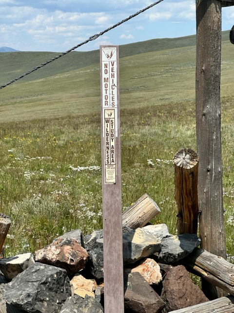
The Broken Wagon Road leaves US-93 32.0 miles north of Mackay, Idaho and 22.0 miles south of Challis, Idaho. This narrow road is suitable for high clearance vehicles until it enters into Section 35 where there is a junction in a wide flat area which is private property. There is public access across this property. From this point the road steepens and deteriorates and a 4WD is required. After 3.8 miles and gaining 1,150 feet of elevation the road ends at the saddle dividing Broken Wagon Creek and Corral Basin Creek. Note that the road down into Corral Basin Creek is closed because the basin is a Wilderness Study Area.
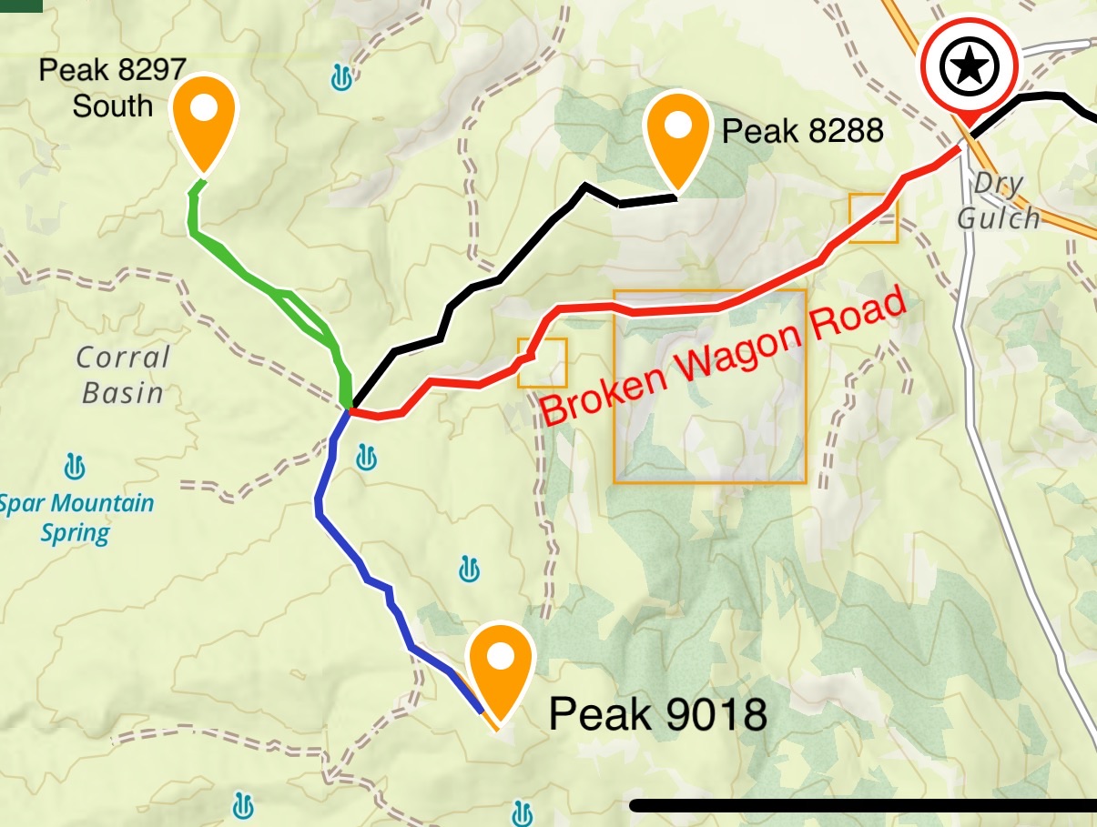
This map shows the three peaks accessible from the Broken Wagon Creek/Corral Basin Creek Saddle.
The now official end of the Broken Wagon Road on the Broken Wagon Corral Basin Creek Saddle.
Northwest Ridge, Class 2
A two track road leaves the saddle and in 1.4 rugged miles eventually climbs to 8,800 feet on Peak 9018’s northwest ridge. From this point it is another 0.6 miles of easy hiking to the broad windswept summit. The road is rocky and steep and requires a 4WD with good off-road tires. If you decide to hike from the saddle to the summit the route covers 2.0 miles and gains 1,200 feet of elevation.
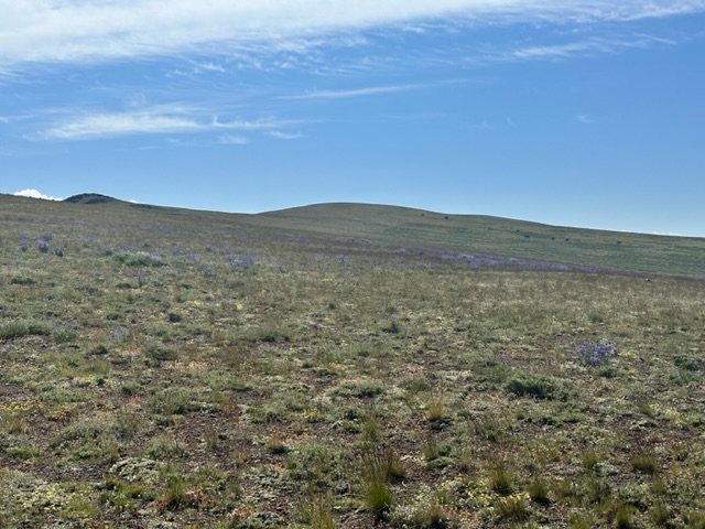
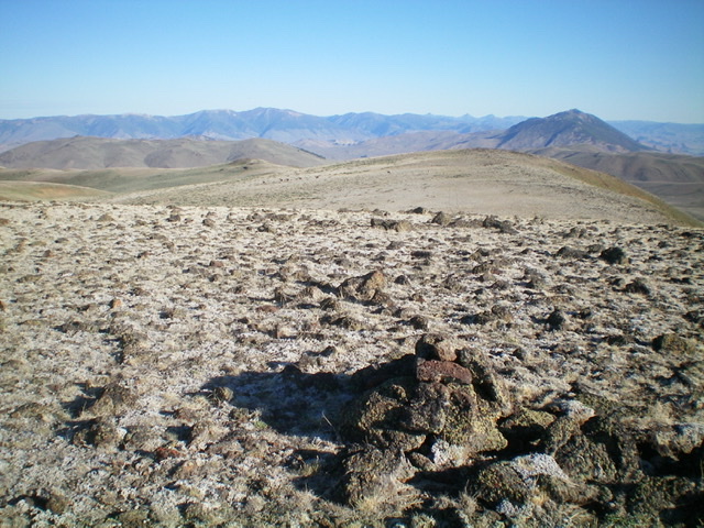
Looking towards the summit of Peak 9018 from the high point the road reaches on the peak’s northwest ridge. The actual summit is two small humps behind the one in the photo.
Additional Resources
Regions: Boulder Mountains->EASTERN IDAHO
Mountain Range: Boulder Mountains
Year Climbed: 2023
Longitude: -114.06319 Latitude: 44.21369